
|
PEAK DISTRICT - MILLERS DALE 23rd APRIL 2010
|
Location - |
Peak District - High Dale & Millers DaleRushup Edge & Brown Knoll |
Map - |
The Peak District White Peak Area - OL24 |
Route - |
Road side Prking, Monsal Head, Putwell Hill, Brushfield, High Dale, Priestcliffe, Blackwell Dale, Millers Dale, Monsal Trail, Monsal Head, Car Park. |
Distance - |
8.5 Miles |
Weather - |
Bright with some hazy sun. |
| Memory Map overlay - | Yes click here |
Route Map - |
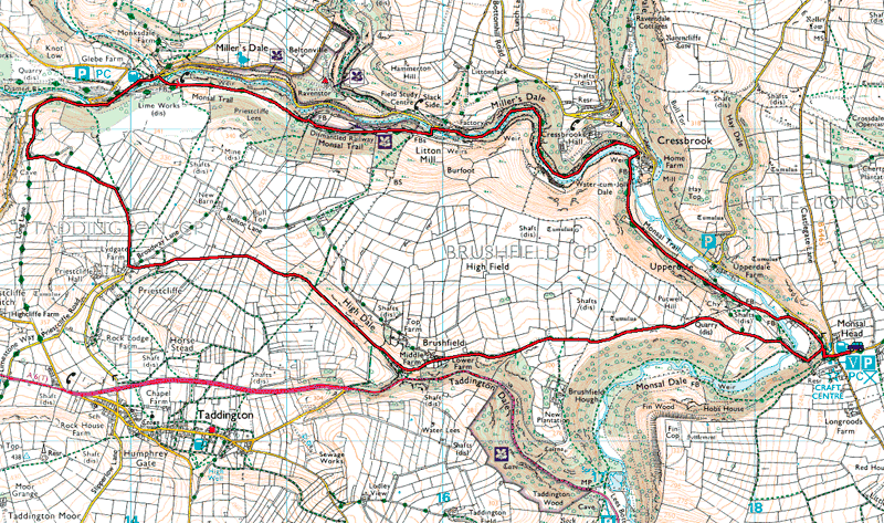 |
Image produced from the Ordnance Survey Get-a-map service. Image reproduced with kind permission of Ordnance Survey and Ordnance Survey of Northern Ireland. |
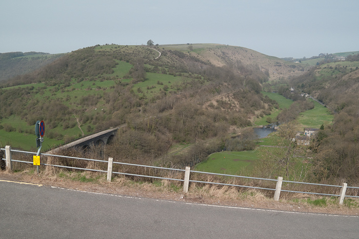 |
Near the start of the walk the view from MonsalHead. A little cool but it does look promising for a good day. Todays walk heading over the viaduct then left up the path on the skyline on the left before returning along the Monsal Trail from the valley ahead. |
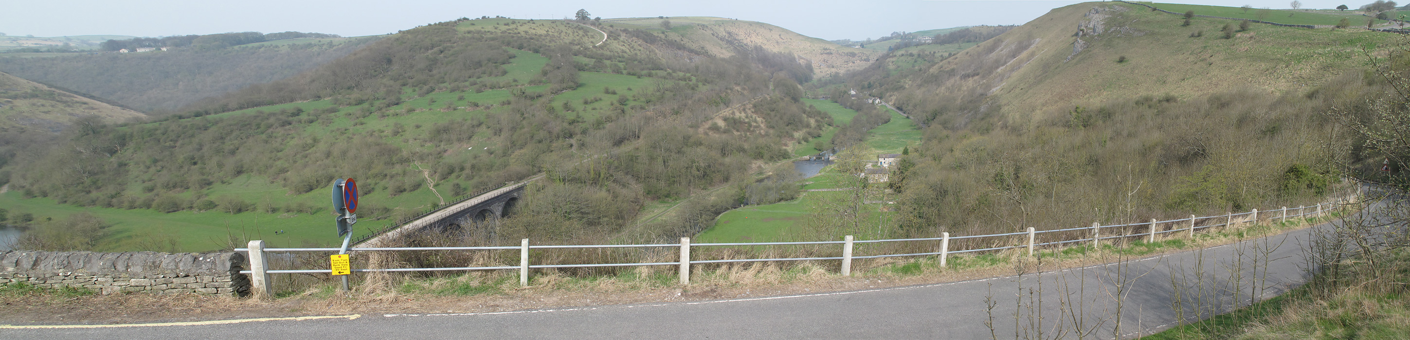 |
A panoramic shot from the same location. Click on the image for a full sized version. |
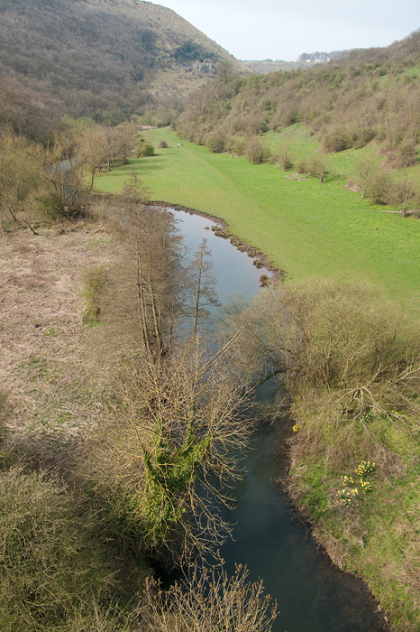 |
View from the viaduct looking down Monsal Dale. |
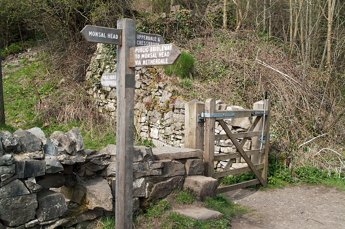 |
On the other side of the viaduct we leave the Monsal Trail heading up hill towards Brushfield. |
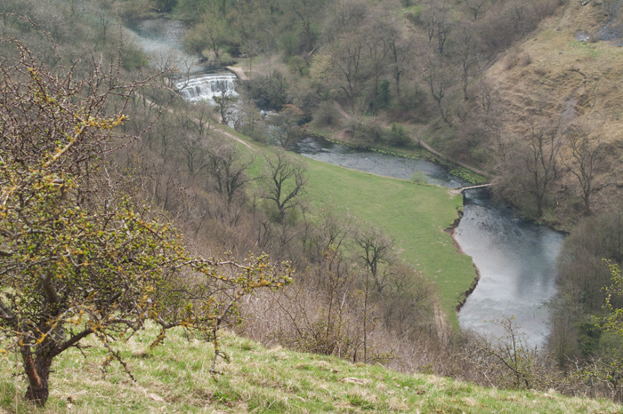 |
On the way to Brushfield looking down to the Weir in Monsal Dale. |
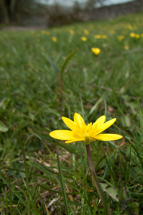 |
A Lessar Celandine (I think) just to the left of our path. |
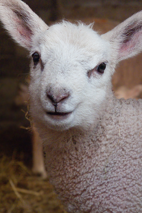 |
Just inside a barn at Brushfield I came across this inquisitive youngster......... |
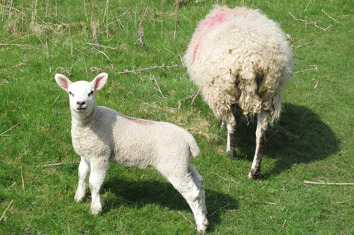 |
And when hes a little older he'll be jointing his friends in the fields. |
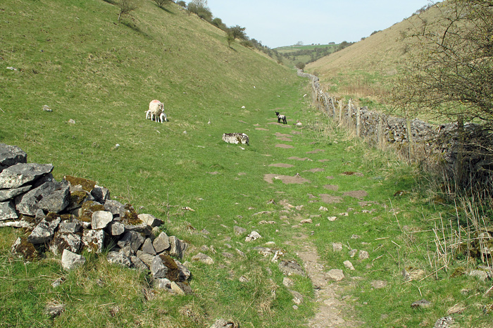 |
Entering High Dale. |
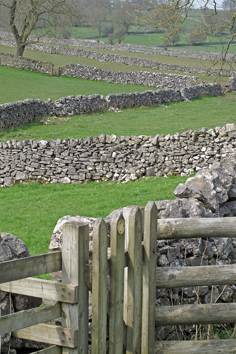 |
At the end of High Dale we enter more traditional Dales countryside with a multitude of dry stone walls. |
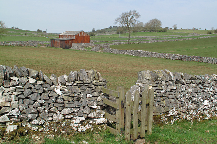 |
The occasional barns breaking up the extensive dry stone walls. |
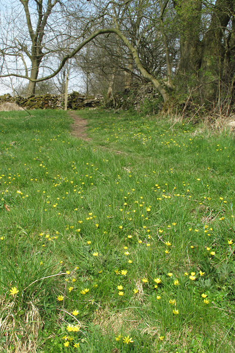 |
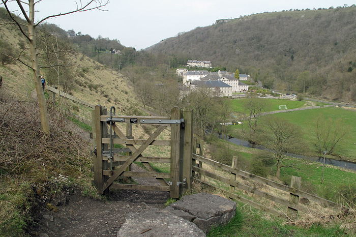
The footpath just before Priestcliffe. |
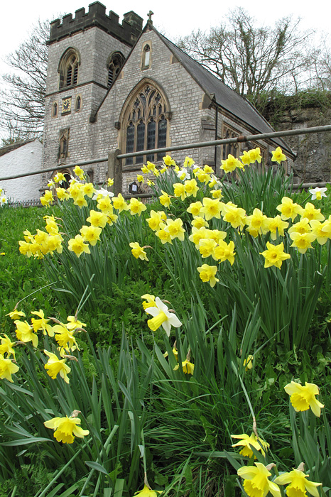 |
I couldnt' resist this shot of the church at the end od Millers Dale. |
 |
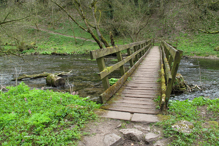
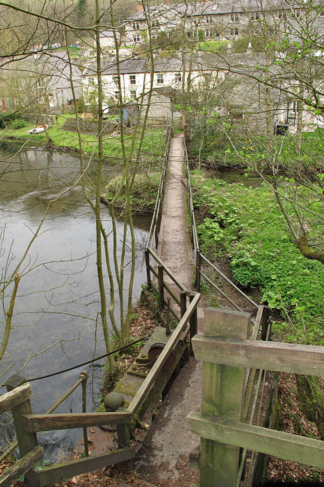
One of the many bridges as we cross the river and join the Monsal Trail. |
 |
And here's the main bridge with the rising path to the left. |
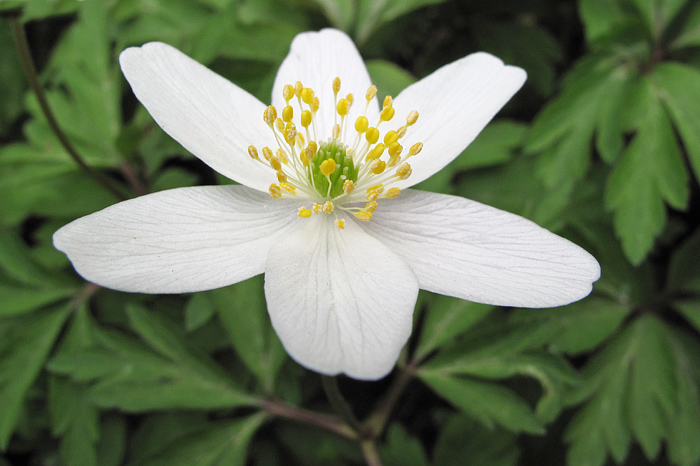 |
Wood Anemone, plenty of these around today. |
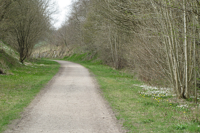 |
Joining the Monsal Trail you can see some Wood Anemones to the right........ |
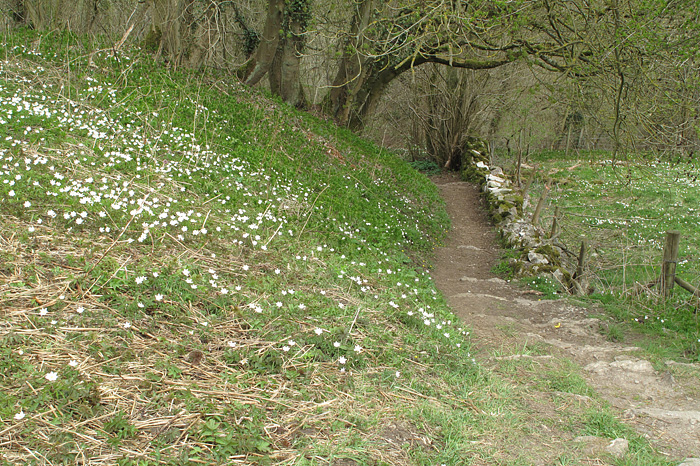 |
And more on this path dropping down to Ravenstor. |
 |
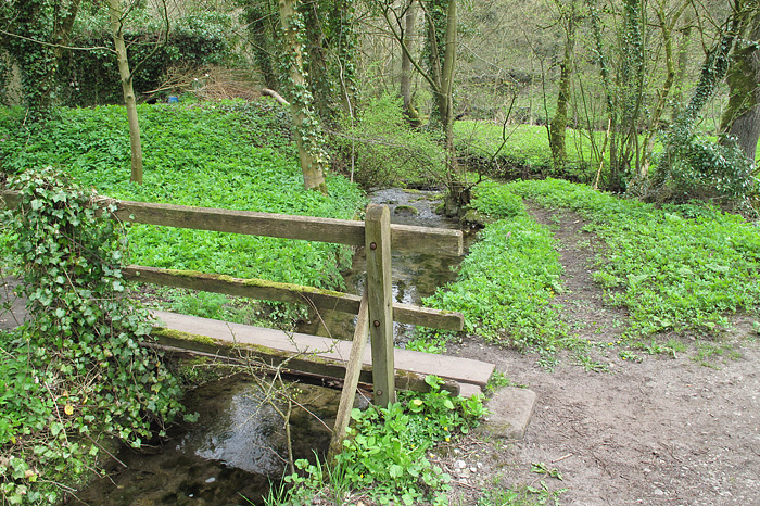
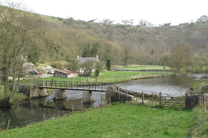
Near Litton Mill we have to cross the river again to continue our journey alongside the river. |
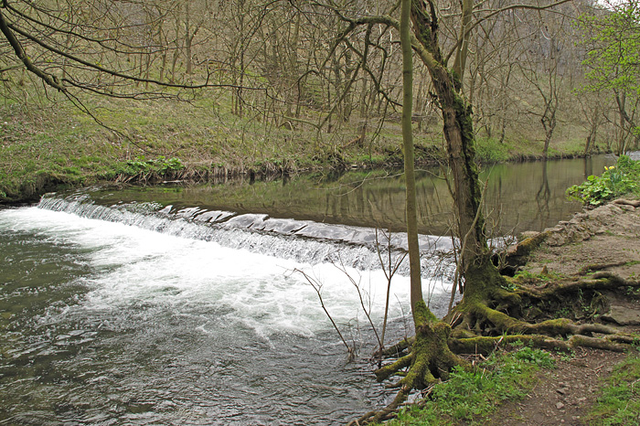 |
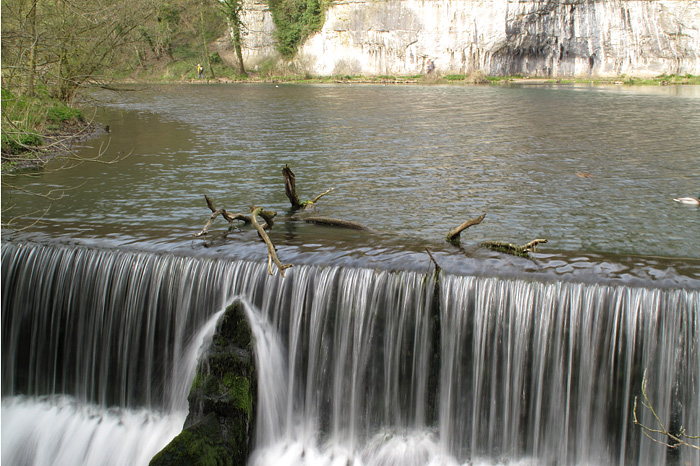
One of the weirs on the river in Millers Dale. |
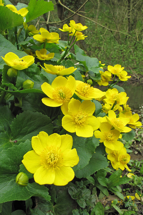 |
Is this a Marsh Marigold? again not too sure. |
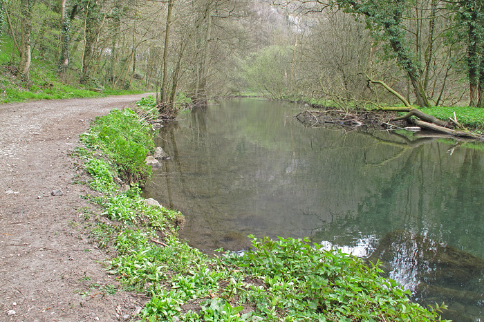 |
This looks like a quiet spot to stop for a bite to eat. |
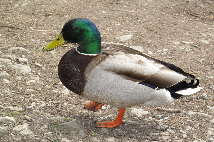 |
Perhaps I was wrong, one sniff of the sandwiches and out they popped. |
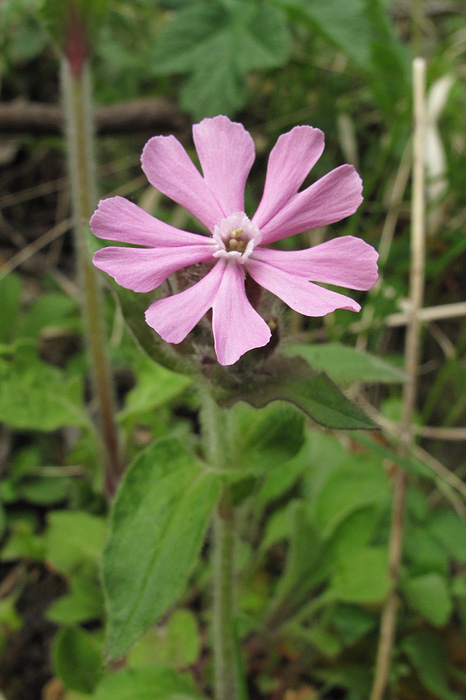 |
A Red Campion at the side of the path. |
 |
Heading back across the river at Cressbrook Weir. The footpath just under the cliffs floods very easily so it was good to walk that part this year. |
 |
Rejoining the Monsal Trail for the last time looking back to Cressbrook. |
 |
Our last river crossing before the climb back up to Monsal Head (on the skyline). |
Thanks for visiting. |