
|
ISLE OF RAASAY - RAASAY FOREST 27th MAY 2008
|
Location - |
Isle of Raasay |
Map - |
South Skye & Cullin Hills - 32 |
Route - |
Ferry Terminal, dismantled railway, Raasay Forest, Clachan, Inverarish, Ferry Terminal |
Distance - |
5.75 Miles |
Weather - |
Sunny |
| Memory Map overlay - | Yes click here |
Route Map - |
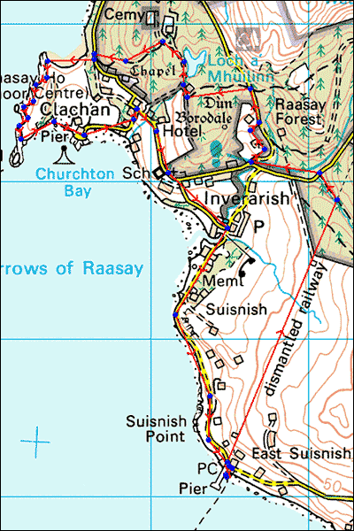 |
Image produced from the Ordnance Survey Get-a-map service. Image reproduced with kind permission of Ordnance Survey and Ordnance Survey of Northern Ireland. |
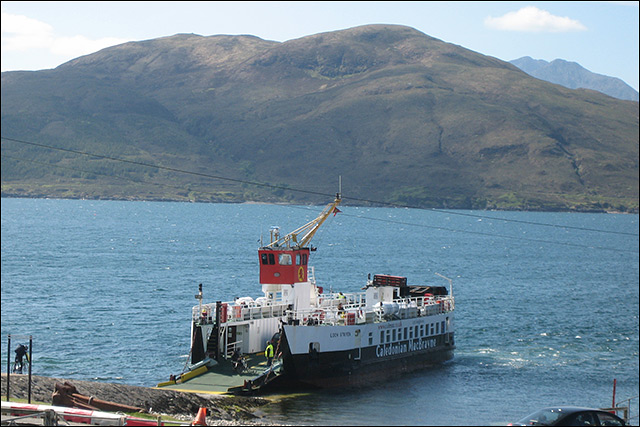 |
The ferry from Sconser with Meall Buidhe behind. |
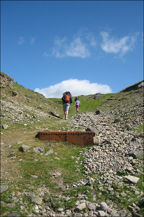 |
Heading up the old dismatled railway from the ferry terminal to Raasay Forest. |
 |
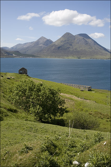
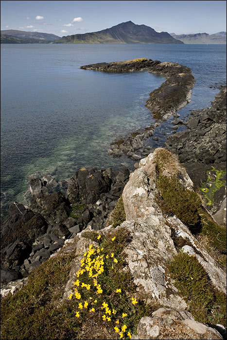
Looking back to Skye from Raasay. |
 |
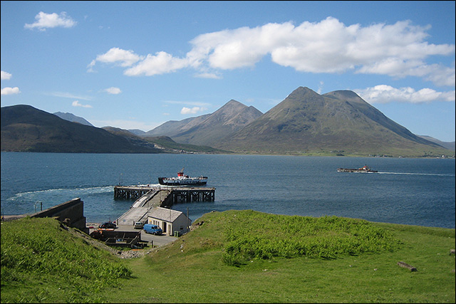
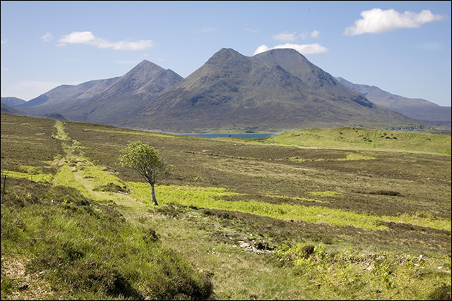
Above the ferry terminal with the climb nearly over the views become more impressive of An Coileach (673m). |
 |
The route of the dismantled railway clearly visible in this shot. |
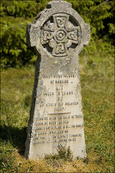 |
The inscription on this cross reads: 'Sunrise over the hills of Skye |
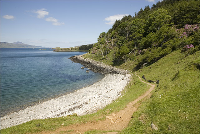 |
The beach north of Clachan. |
 |
Looking north west to Ben Tinavaig(413m). |
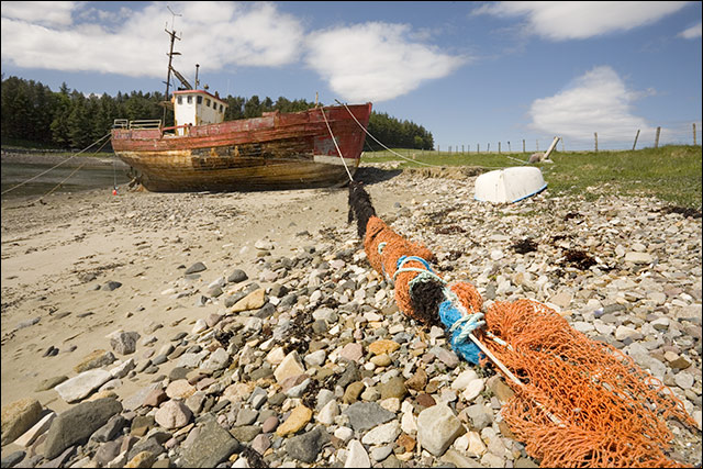 |
Old boat at Clachan. |
Thanks for visiting. |