
|
CALVERTON (NOTTINGHAM) - FOX WOOD 9th JANUARY 2010
|
Location - |
Calverton - Fox Wood & Woodborough |
Map - |
Nottingham Vale of Belvoir - Explorer 260 |
Route - |
St Wilfrids Church, Fox Wood, Woodborough Park Farm, Woodborough, Moor Lane, St Wilfrids Church |
Distance - |
4 1/2 Miles |
Weather - |
Bright with some sun, plenty of snow cover |
| Memory Map overlay - | Yes click here |
Route Map - |
 |
Image produced from the Ordnance Survey Get-a-map service. Image reproduced with kind permission of Ordnance Survey and Ordnance Survey of Northern Ireland. |
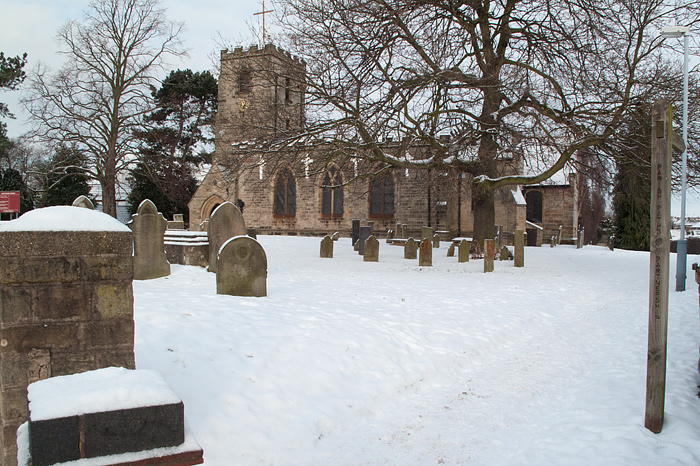 |
St Wilfrids Church Calverton the start of the walk. |
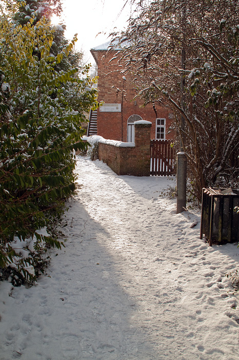 |
Footpath beside the Oasis Centre . |
 |
Leaving Calverton for Fox Wood at the top of the hill. |
 |
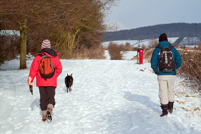
Plenty of snow remaining from the recent cold snap. |
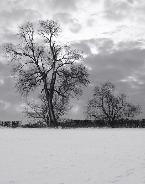 |
A monochromatic scene near Fox Wood. |
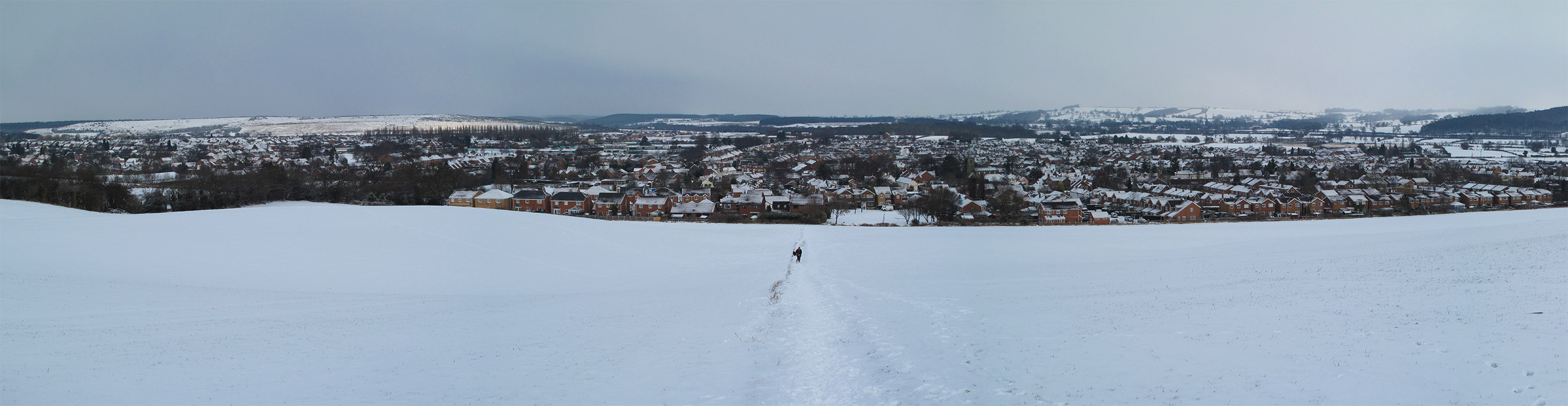 |
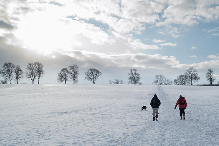
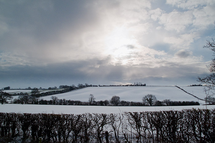
A panoramic view over Calverton in Winter (click on the image for a large version). |
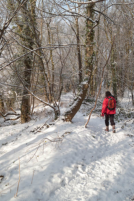 |
Winter sun in Fox Wood. |
 |
The back of Fox Wood. |
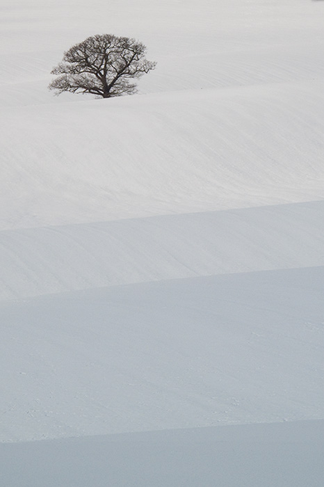 |
Rolling field near Woodborough Park Farm. |
 |
Woodborough Park Farm. |
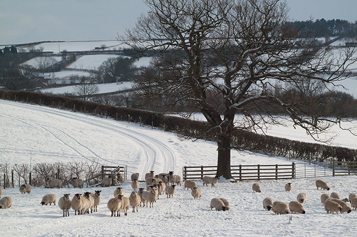 |
Onlookers as we pass through the farm. |
 |
When the sun fell behind cloud the temperature dropped markedly. |
 |
On the flat with Woodborough ahead. |
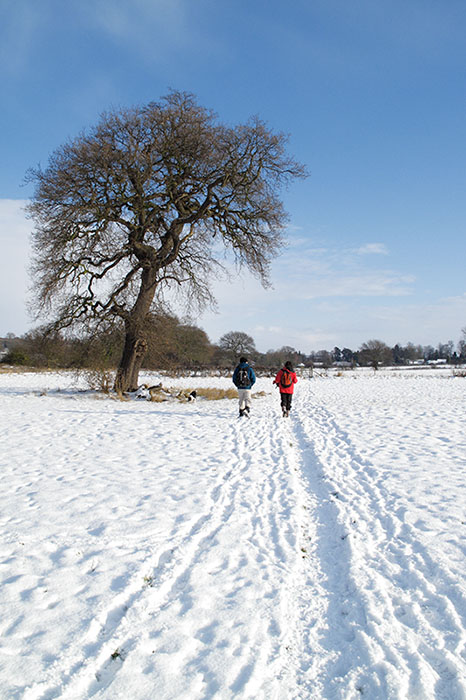 |
Welcome blue sky on a cold January day. |
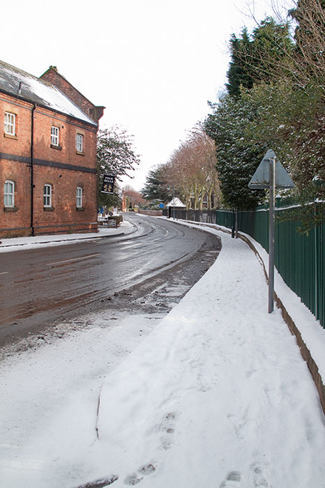 |
Main Street in Woodborough, the Four Bells ahead. |
 |
The footpath at the end of Roe Hill leading to the Springwater Golf Club. |
 |
Long shadows on the descent to Springwater Golf Club. |
Thanks for visiting. |