
|
PEAK DISTRICT - ALPORT CASTLES 12th SEPTEMBER 2009
|
Location - |
Peak District - Alport Castles & Woodlands Valley from Ladybower Reservoir |
Map - |
The Peak District Dark Peak Area - OL1 |
Route - |
Roadside Parking (SK 17920, 88534), Open Hagg, Bellhag Tor, Rowlee Pasture, Alport Castle, Alport farm, Alport Bridge, Haggwater Bridge, Woodcock Coppice, Open Hagg, Car Park |
Distance - |
9 Miles |
Weather - |
Sunny all day |
| Memory Map overlay - | Yes click here |
Route Map - |
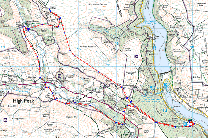 |
Image produced from the Ordnance Survey Get-a-map service. Image reproduced with kind permission of Ordnance Survey and Ordnance Survey of Northern Ireland. |
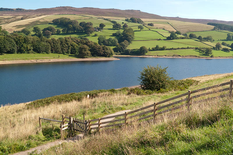 |
Ladybower Reservoir on a warm sunny day in September. |
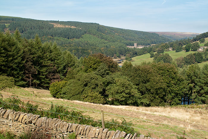 |
Derwent Dam from the bridleway leading up to Open Hagg. |
 |
At the top of the climb many options were available, today's walk we headed towards Alport Bridge before turning off to Alport Castles. |
 |
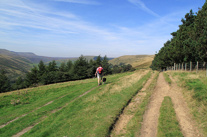
The eastern end of Kinder Scout from Open Hagg. |
 |
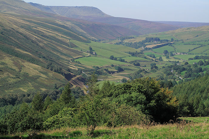
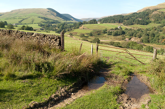
Traversing behind Hagg Side. The valley leading to Alport Castles beyond the trees in the middle of the picture. |
 |
Hazy views today up the Woodlands Valley and the Snake Road. |
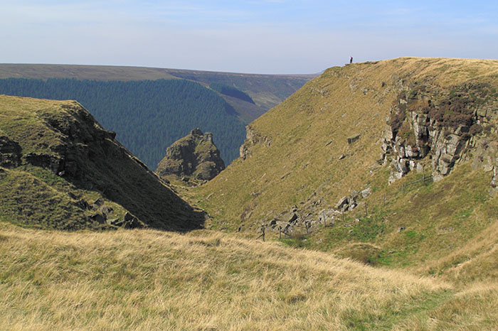 |
Alport Castles and the main feature is 'The Tower' a large free standing pinnacle of rock. |
 |
Alport Castles ridge from the path to Alport Farm. |
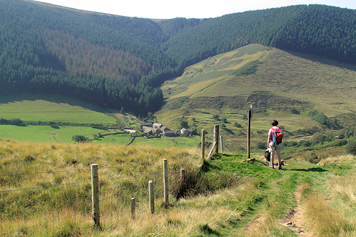 |
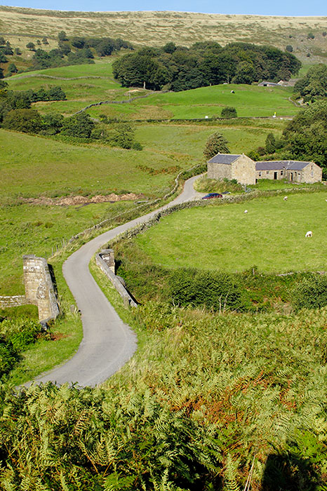
Alport Farm tucked in the valley bottom. |
 |
Plenty of berries on this Rowan tree. |
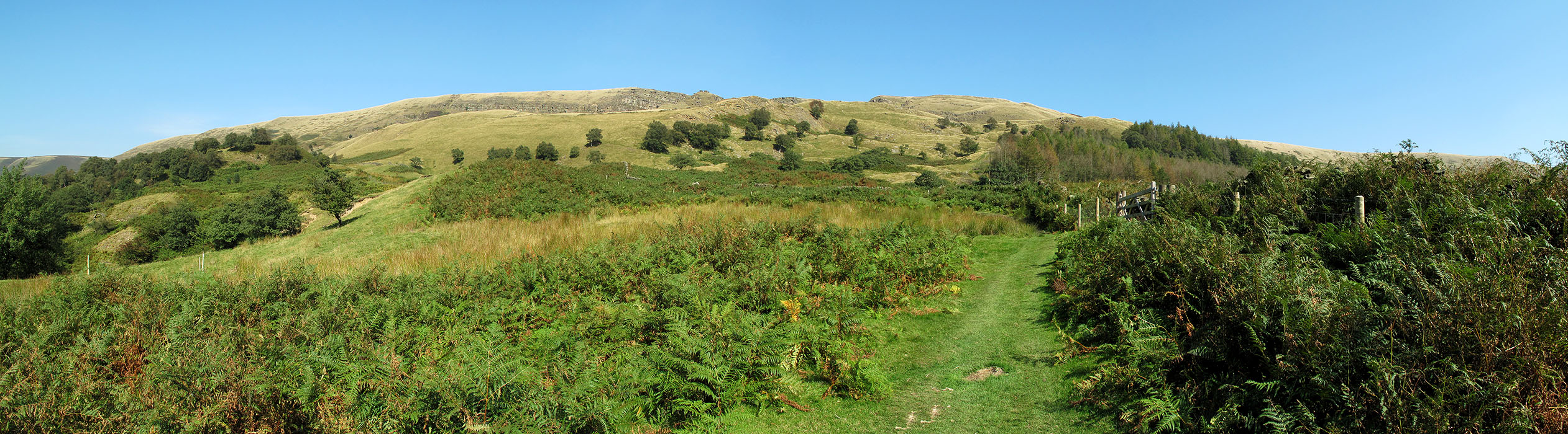 |
A panorama of the Alport Castles ridge (click on the image for a larger version).. |
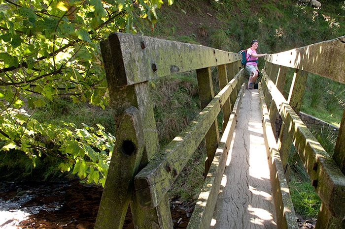 |
Crossing the footbridge over the River Alport. |
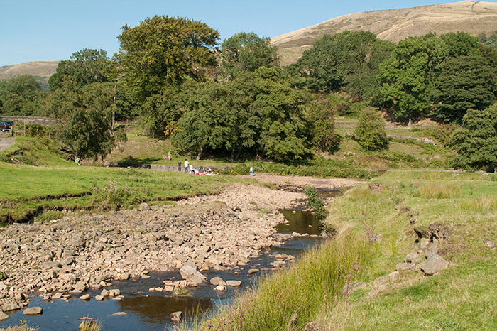 |
River Ashop runs beside the Snake Road and proved to be a great picnic stop in the warm September sun. |
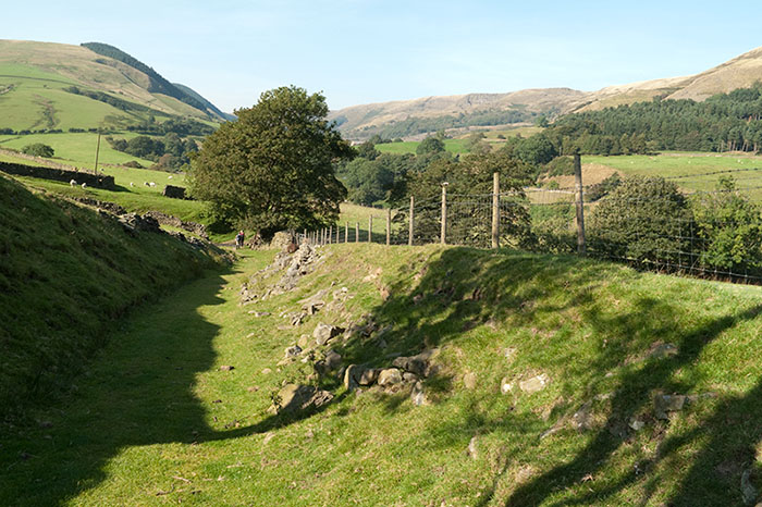 |
Just below Upper Ashop looking back to Alport Dale. |
 |
A similar view over the Snake Road towards Alport Dale. |
 |
Rowlee Bridge, not crossed today as we followed the man made (flood relief) route of the River Ashop. |
Thanks for visiting. |