
|
PEAK DISTRICT - WOLFSCOTE DALE 3rd JULY 2011
|
Location - |
Peak District - Alstonefield & Wolfscote Dale |
Map - |
The Peak District White Peak Area - OL24 |
Route - |
Alstonefield, Coldeaton Bridge, Wolfscote Dale, Beresford Dale, Narrowdale, Alstonefield. |
Distance - |
6 Miles |
Weather - |
Mainly sunny |
| Memory Map overlay - | Yes click here |
Route Map - |
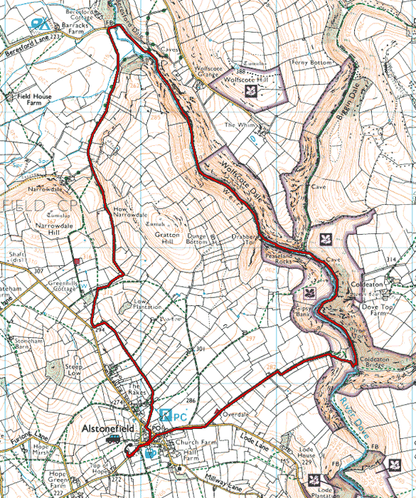 |
Image produced from the Ordnance Survey Get-a-map service. Image reproduced with kind permission of Ordnance Survey and Ordnance Survey of Northern Ireland. |
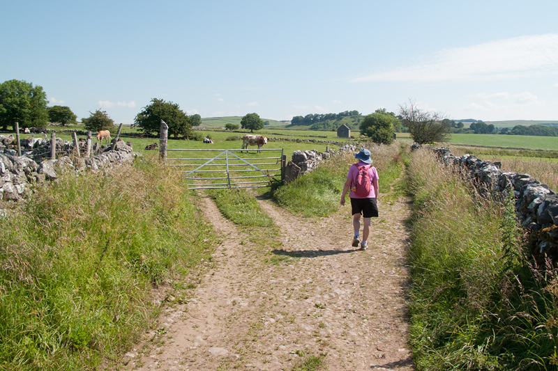 |
Leaving Alstonfield heading for the descent to Wolfscote Dale. |
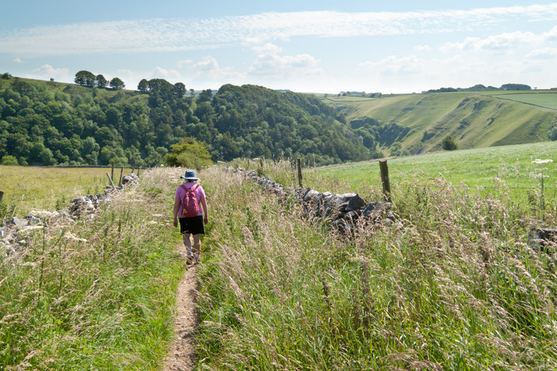 |
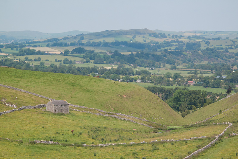
Further along the footpath Wolfscote Dale comes into view . |
 |
The descent down Gipsy Bank, quite slippery in wet weather, but not today with the strong sun overhead. |
 |
Looking down Gipsy Bank. |
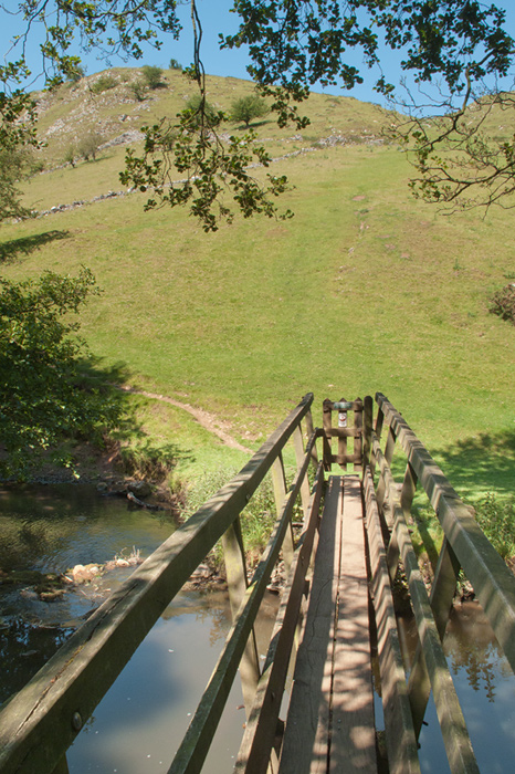 |
Looking back across the bridge over the River Dove, with Gipsy Bank behind. |
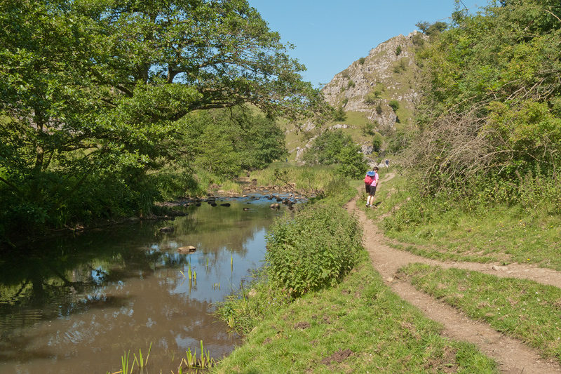 |
The early part of the riverside walk is well sheltered from the sun. |
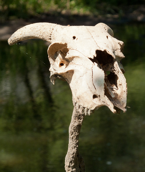 |
This skull was left sticking up on a pole in the water. |
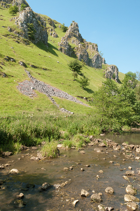 |
Quite dramatic rocky outcrops along this part of the walk. |
 |
Nice to see some colour today, I think this is a Smooth Hawk's-Beard. |
 |
At the upper end of Wolfscote Dale, with a few clouds forming. |
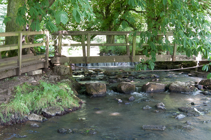 |
At the far end of Wolfscote Dale where Beresford Dale takes over, we cross the river once again. |
 |
With Narrowdale Hill on the Left and Gratton Hill on the right the view improves as we gain height. |
 |
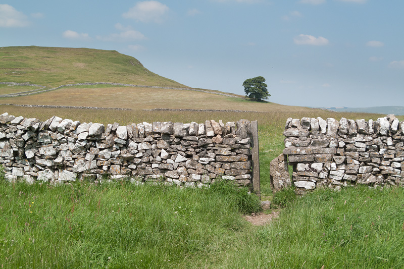
Further up the hill towards Low Plantation the views become more expansive. |
 |
Before returning to Alstonfield a last look back. |
Thanks for visiting. |