
|
PEAK DISTRICT - MONSAL DALE & DEEP DALE 30TH MARCH 2006
|
Location - |
Peak District - Ashford in the Water |
Map - |
The Peak District White Peak Area - OL24 |
Route - |
Ashford in the Water, Pennyunk Lane, Monsal Head, Monsal Dale, Deep Dale, Sheldon, Magpie Mine, Little Shacklow Wood, River Wye, Ashford in the Water. |
Distance - |
8 1/2 Miles |
Weather - |
Manly cloudy with occasional sun and some light showers. |
Memory Map overlay - |
Yes click here |
Route Map - |
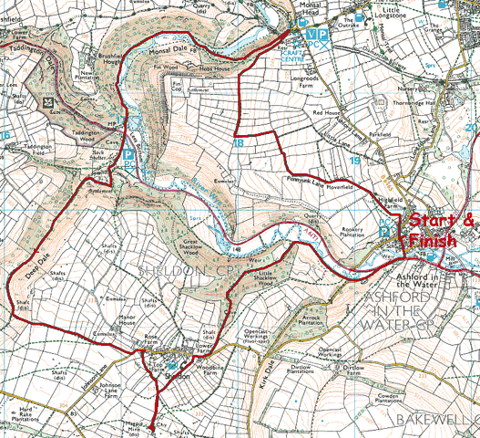 |
Image produced from the Ordnance Survey Get-a-map service. Image reproduced with kind permission of Ordnance Survey and Ordnance Survey of Northern Ireland. |
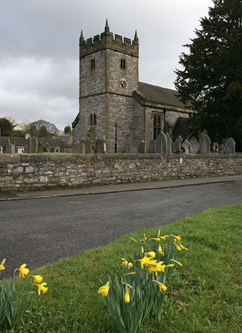 |
Near the start of my walk is the church in Ashford in the Water. |
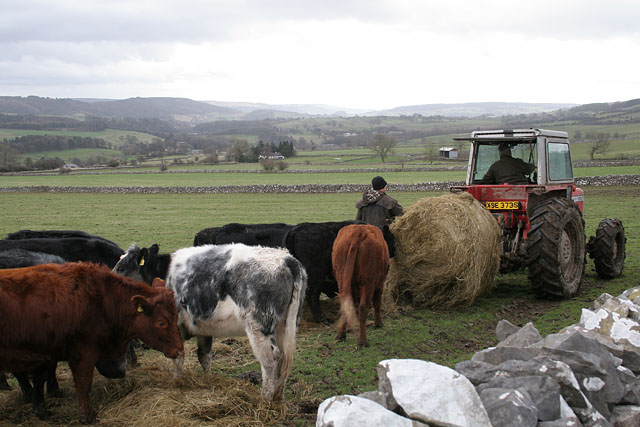 |
I watched these cows follow the tractor from the very bottom of the field, only to be fed right at the top. Image taken from Pennyunk Lane. |
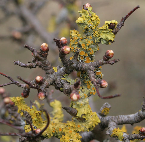 |
Lichen clinging to this tree which was coming into bud. It is amazing where you can find a splash of colour. |
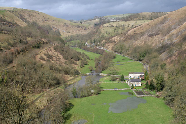 |
Nearing Monsal Head looking down Upperdale. The sun just breaking through. |
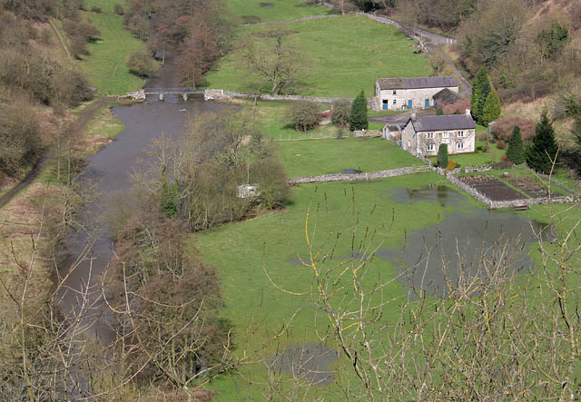 |
Almost the same viewpoint just zoomed in. |
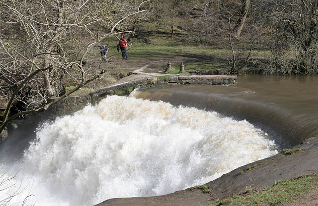 |
The Weir in Monsal Dale with no shortage of water. |
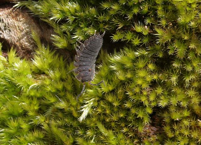 |
A close up view of a Woodlouse crawling across a moss covered tree. |
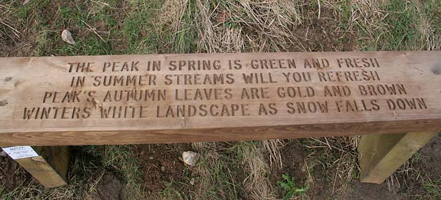 |
A poem by Sophie Kellett engraved on a bench. |
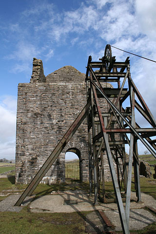 |
A short detour from my route to look at the Magpie Mine. This lead mine was worked up to 1950 although mining on this site had been carried out for over 250 years. |
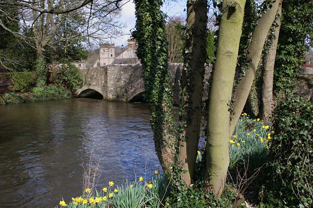 |
Just over this footbridge is Ashford in the Water and the finish of my walk. |
Thanks for visiting. |