
|
PEAK DISTRICT - BAMFORD EDGE 3rd JANUARY 2011
|
Location - |
Peak District - Bamford Edge & Stanage Edge |
Map - |
The Peak District Dark Peak Area - OL1 |
Route - |
Roadside Parking (SK21518, 83952), Bamford Edge, Bamford Moor, Jarvis Clough, Moscar Moor, High Neb, Stanage Edge, Dennis Knoll, Roadside Parking. |
Distance - |
5 Miles |
Weather - |
Bright with a little sun, cold with some snow flurries. |
| Memory Map overlay - | Yes click here |
Route Map - |
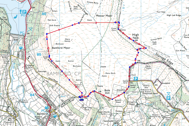 |
Image produced from the Ordnance Survey Get-a-map service. Image reproduced with kind permission of Ordnance Survey and Ordnance Survey of Northern Ireland. |
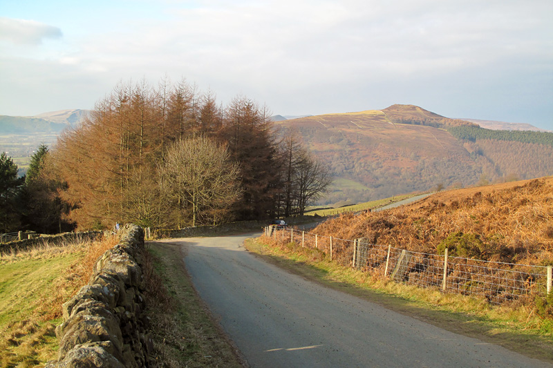 |
With all the cloud at home we picked just the right place for our walk today. |
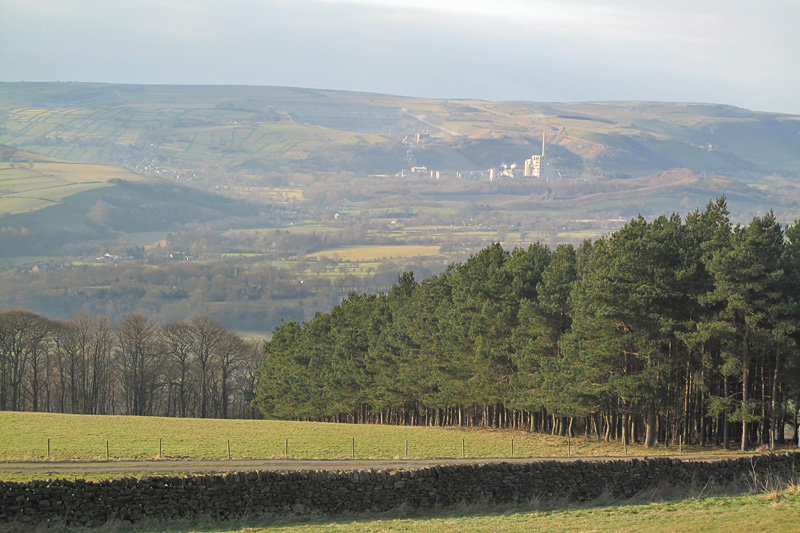 |
Down the Hope Valley to the Cement Works at Hope. |
 |
Heavy clouds and warm light as we head up towards Bamford Edge. |
 |
Win Hill from the rocky Bamford Edge. |
 |
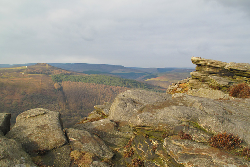
Pools of sun as we look North from Bamford Edge. |
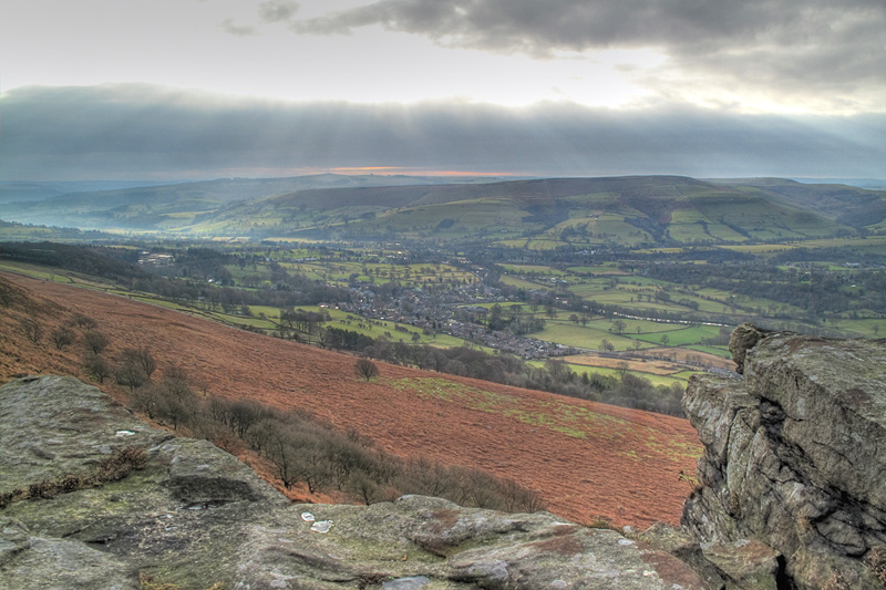 |
A HDR(High Dynamic Range) image overlooking Bamford village. Composed of three seperate exposures +1, 0, -1. |
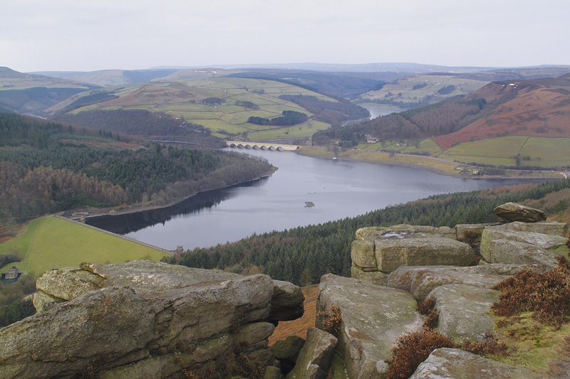 |
Ladybower Reservoir from Bamford Edge. |
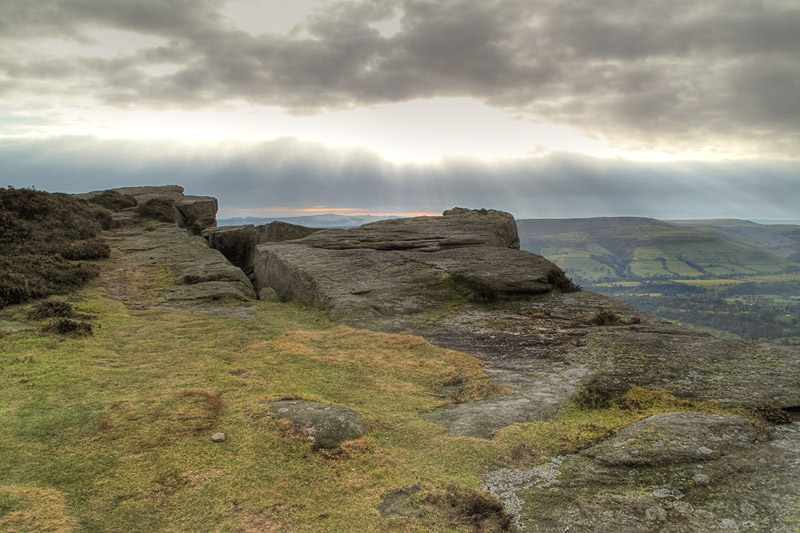 |
Crepuscular Rays from Bamford Edge (another HDR Image). |
 |
Crossing Bamford Moor I seem to have gone too far ahead. |
 |
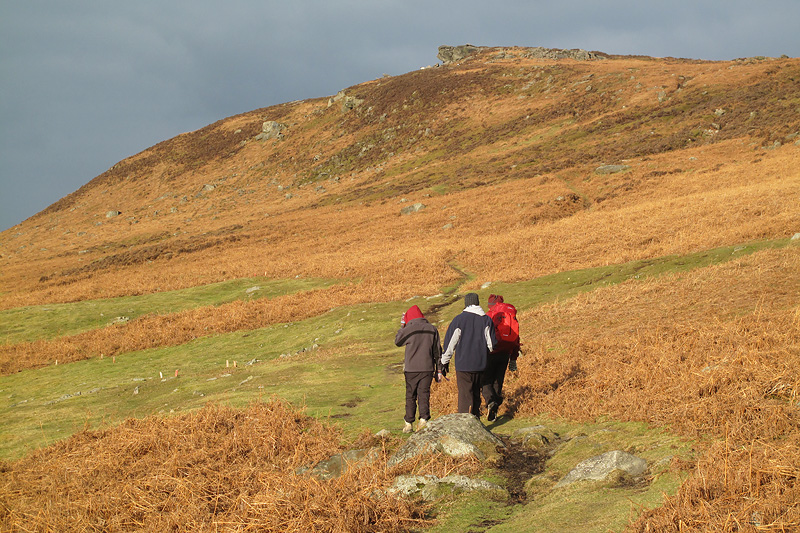
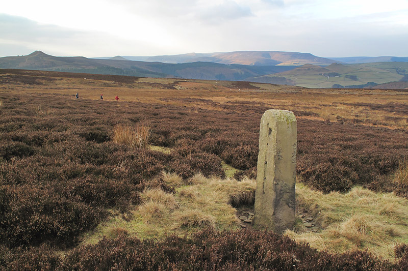
Just about to set off from our lunch stop. Our target is the patch of snow to the left of the cliffs ahead giving access to Stanage Edge. |
 |
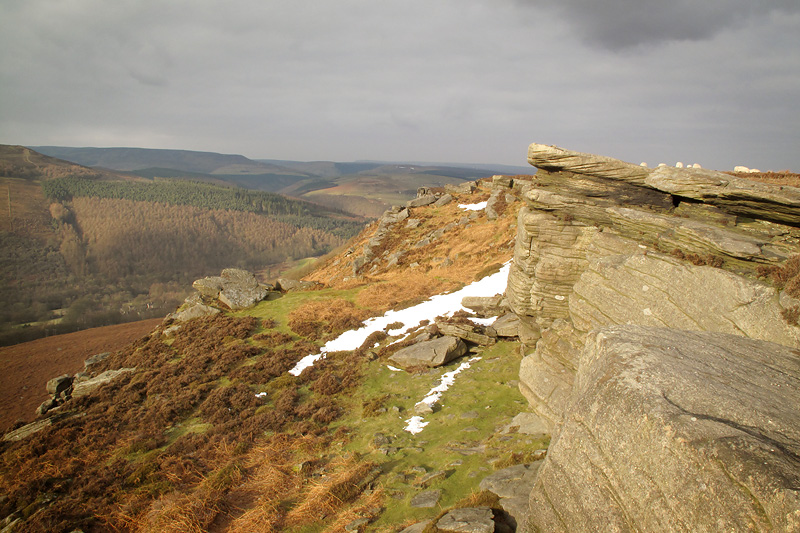
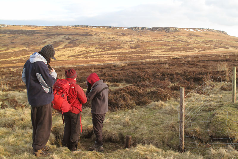
Here is that snow patch, and Stanage Edge. |
 |
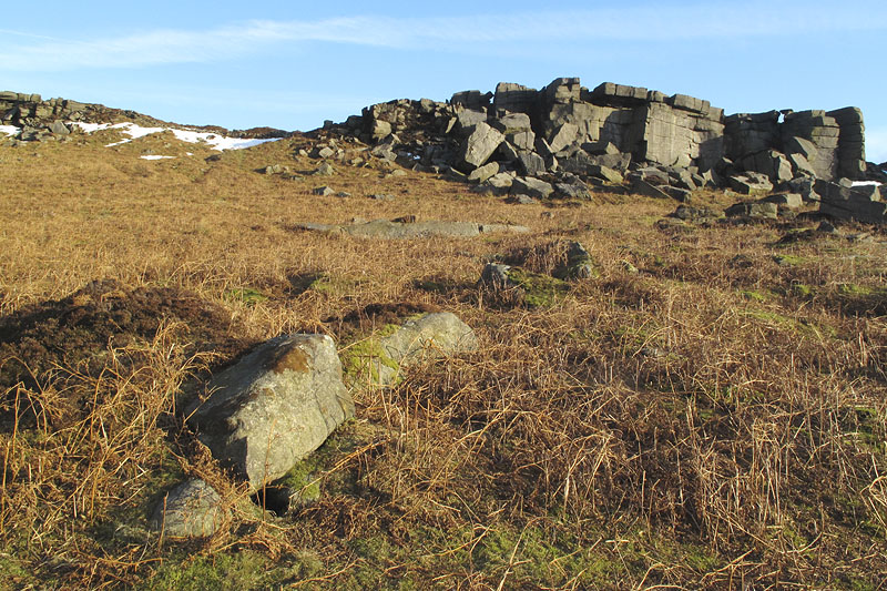
Negotiating the compact snow and ice. No running water here, it's all ice. |
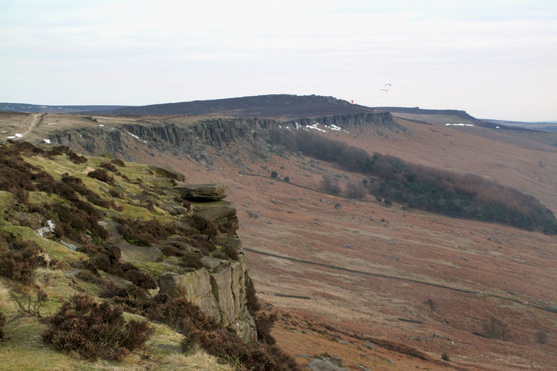 |
Just before we leave Stanage Edge, here's a view looking south showing more of the edge and some paragliders in the distance. |
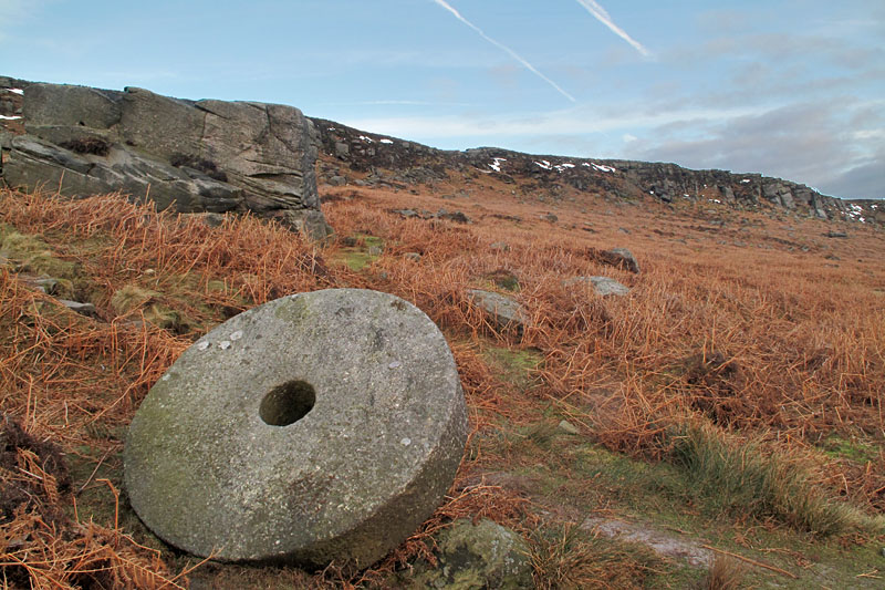 |
One of many millstones found abandoned in this area. |
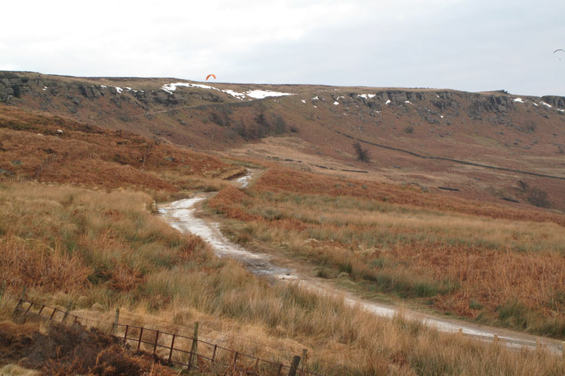 |
Looking back at Stanage Edge as we head back to the start of our walk. |
Thanks for visiting. |