
|
BRADGATE PARK - OLD JOHNS TOWER 11th FEBRUARY 2008
|
Location - |
Leicestershire - Bradgate Park |
Map - |
Loughborough, Melton Mowbray & Syston - Sheet 246 |
Route - |
Car Park (SK 54275, 11370), Woods to Old John Tower, War Memorial, Tyburn, Newton Lindford, Bradgate House (ruins), Cropston Reservoir, Car Park |
Distance - |
4 Miles |
Weather - |
Sunny |
| Memory Map overlay - | Yes click here |
Route Map - |
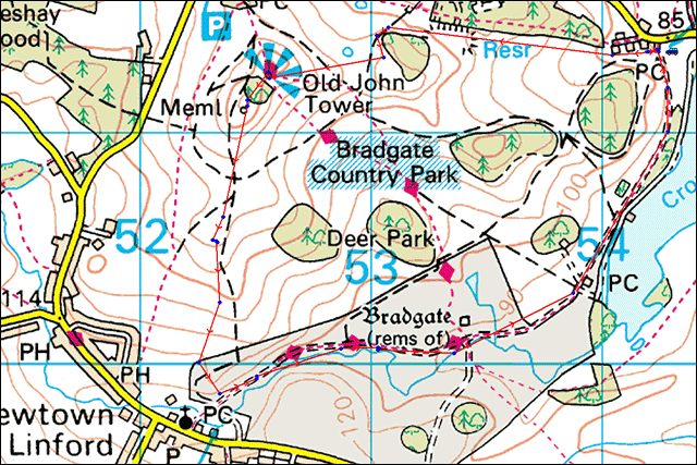 |
Image produced from the Ordnance Survey Get-a-map service. Image reproduced with kind permission of Ordnance Survey and Ordnance Survey of Northern Ireland. |
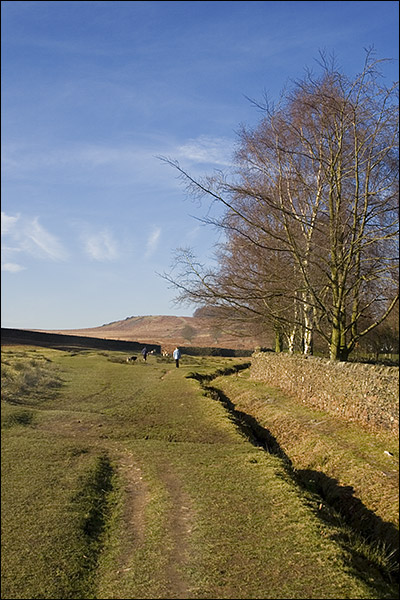 |
Leaving the car park at Cropston we turned right heading up hill. |
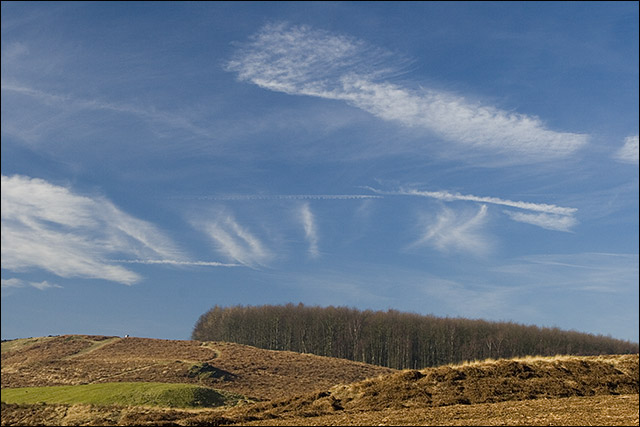 |
A good sky enhanced by a polarizing filter . |
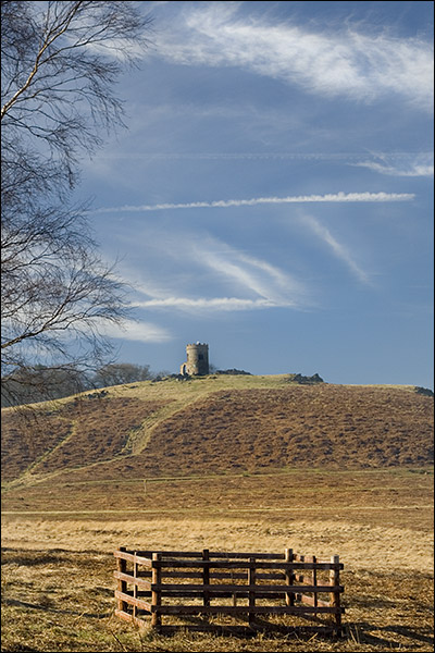 |
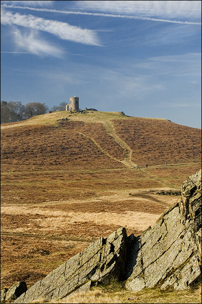
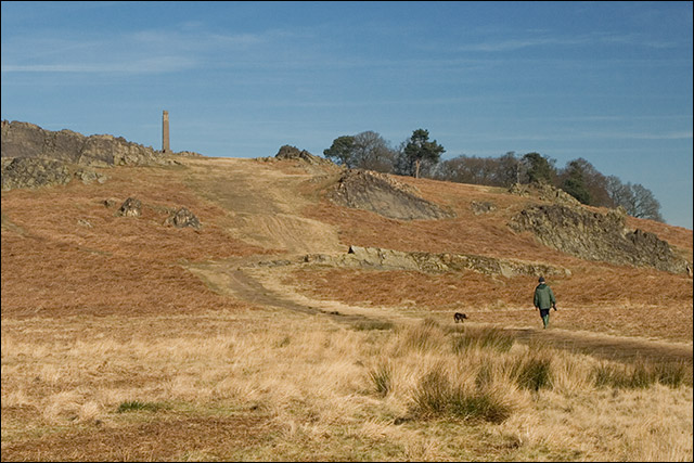
Walking around the trees Old John Tower comes into view. |
 |
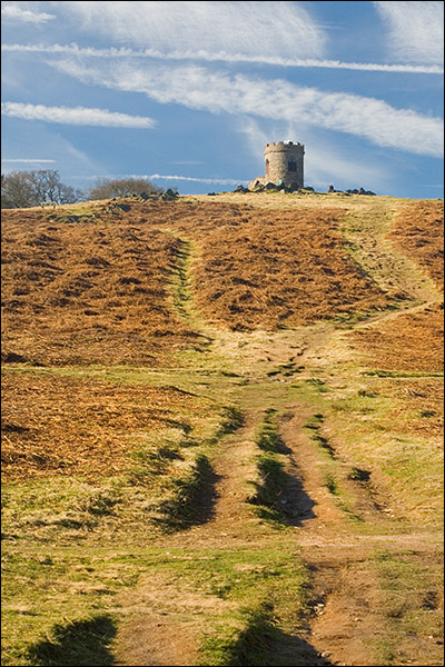
The are plenty of different tracks to take in Bradgate Park. |
 |
A little further up the hill to Old John Tower at an altitude of 207m |
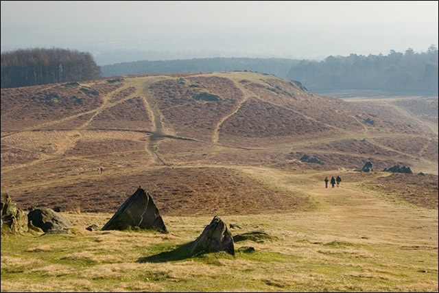 |
From Old John Tower showing the multitude of paths. |
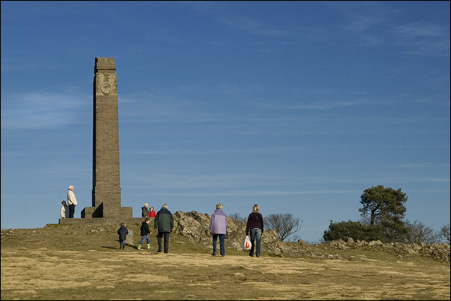 |
The War Memorial. |
 |
Looking back to the War Memorial as we drop downhill. The sun still shining quite strongly. |
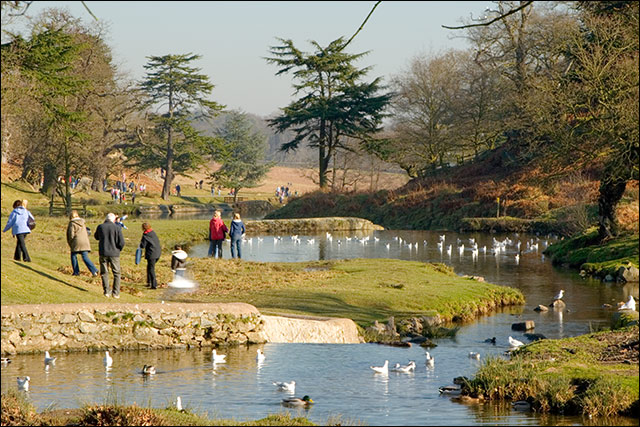 |
Meeting the private road which runs between Newton Lindford and Cropston there were many more people about all enjoying this lovely February day. |
 |
Easy walking for most folk on a tarmac road. |
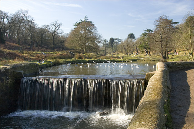 |
Continuing back to the car park along side the river which feeds Cropston Reservoir. . |
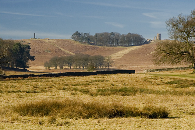 |
The War Memorial and Old John Tower from the private road. |
Thanks for visiting. |