
|
PEAK DISTRICT - BRETTON 14th JANUARY 2007
|
Location - |
Peak District - Abney and Bretton |
Map - |
The Peak District White Peak Area - OL24 & Dark peak Area OL1 |
Route - |
Roadside Parking (18988 78074), Abney Grange, Abney Moor, Brough Lane, Shatton Moor, Offerton, Callow Wood, Tor Farm, Stoke Ford, Bretton Clough, Bretton, |
Distance - |
9 Miles |
Weather - |
Sunny with a strong wind |
| Memory Map overlay - | Yes click here |
Route Map - |
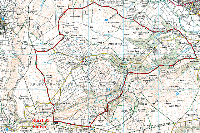 |
Image produced from the Ordnance Survey Get-a-map service. Image reproduced with kind permission of Ordnance Survey and Ordnance Survey of Northern Ireland. |
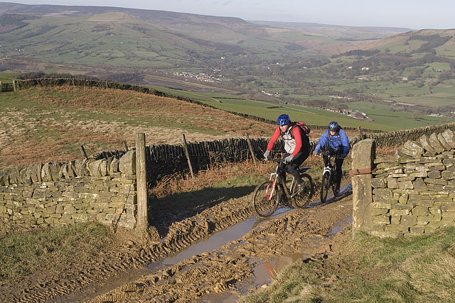 |
Looking over to Hope from Shafton Lane, conditions were somewhat muddy. |
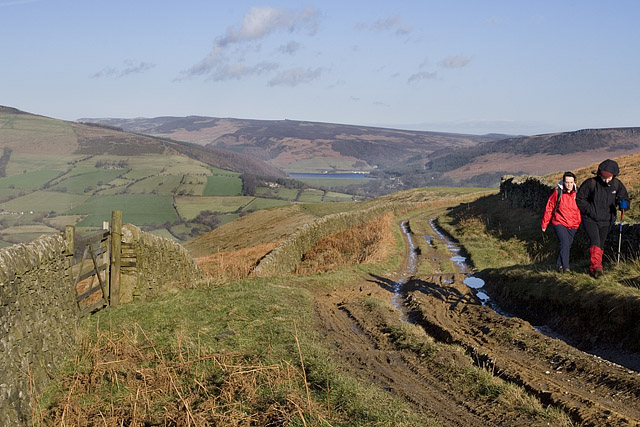 |
Ladybower Reservoir from Shafton Lane. |
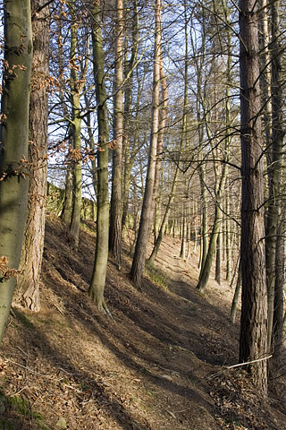 |
Through Callow Wood in bright sunshine. |
 |
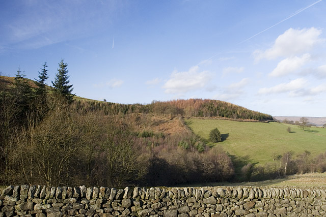
Millstone Edge in the distance and Hathersage in the valley below. |
 |
High Low Wood with a little cloud building. |
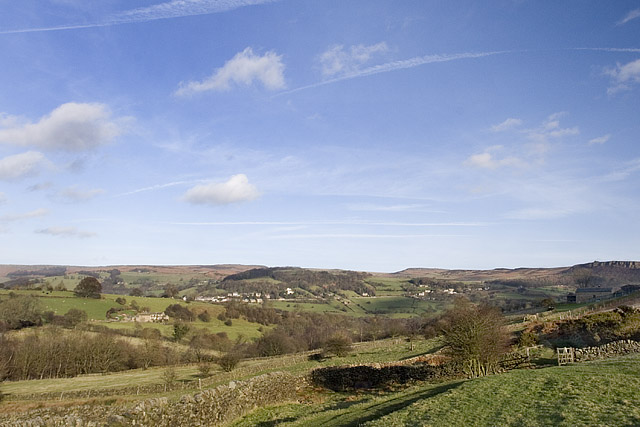 |
Looking back over Hathersage again and Millstone Edge on the right. |
 |
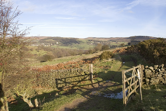
A patchwork of dry stone walls which characterise this part of the Peak District. |
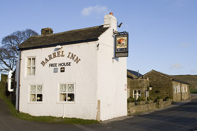 |
Nearing the end of today's walk at Bretton and the Barrel Inn. |
Thanks for visiting. |