
|
PEAK DISTRICT - BROWN KNOLL 3rd MARCH 2006
|
Location - |
Peak District - Rushup Edge & Brown Knoll |
Map - |
The Peak District Dark Peak Area - OL1 |
Route - |
NT Car Park (12385, 83239), Rushup Edge (Lords seat), Brown Knoll, Jacob's ladder, Lee House, Upper Booth, Barber Booth Greenlands, NT Car Park |
Distance - |
9 Miles |
Weather - |
Sunny with a cold wind, some lying snow above 500m |
Memory Map overlay - |
Yes click here |
Route Map - |
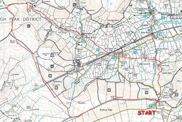 |
Image produced from the Ordnance Survey Get-a-map service. Image reproduced with kind permission of Ordnance Survey and Ordnance Survey of Northern Ireland. |
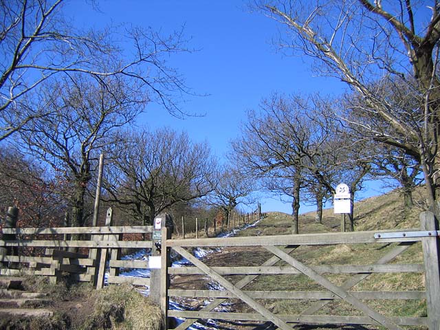 |
Just crossing the road behind the car park and looking up to the start of Rushup Edge. |
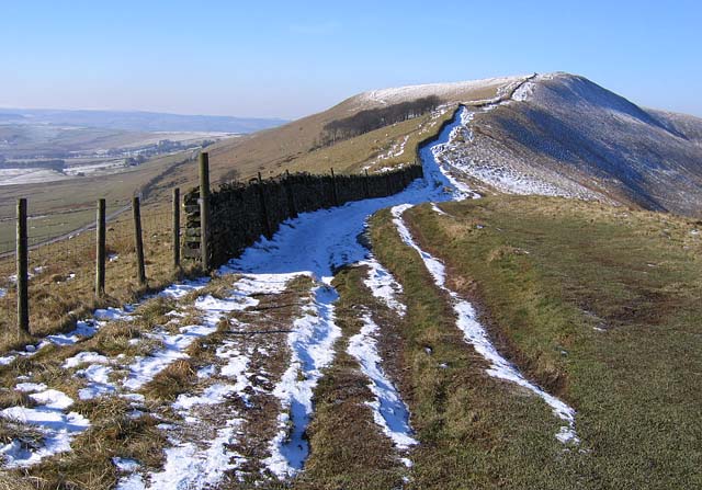 |
Looking ahead along the footpath to Lords Seat. |
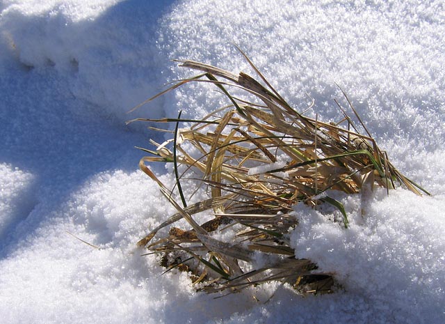 |
Grassy tufts could be seen everywhere poking out from the winter cover. |
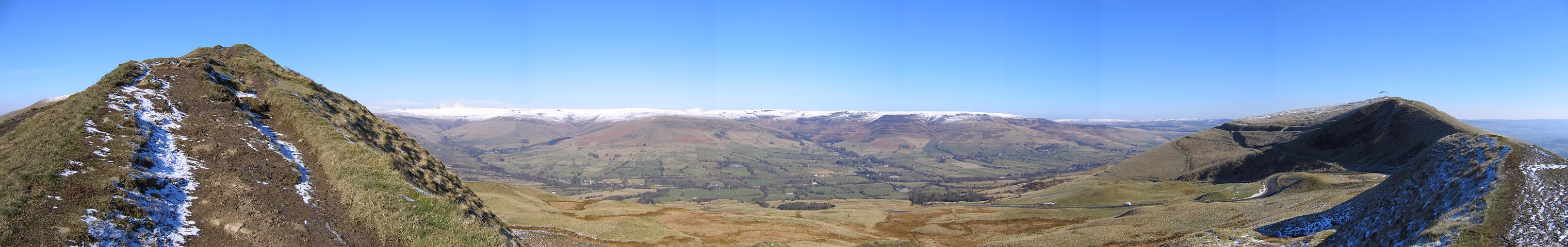 |
A panoramic view looking over the Vale of Edale with Kinder Scout in the distance (click on the image for a larger version) |
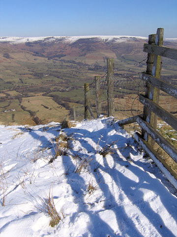 |
In a little more detail looking down to the Vale of Edale |
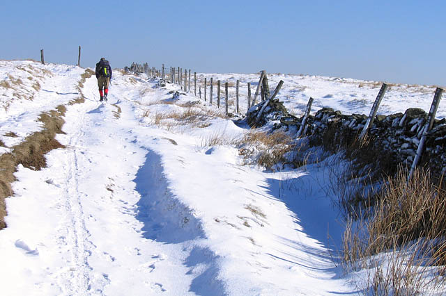 |
A solo walker also enjoying a very sunny day in the hills. |
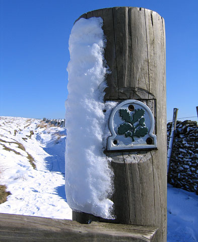 |
Oak leaves on a National Trust sign with some snow and ice sticking to the post. |
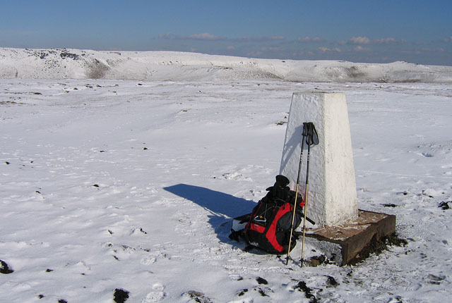 |
The summit of Brown Knoll (569m) with Kinder Scout ahead. Although the sun was out there was still a bitterly cold wind. |
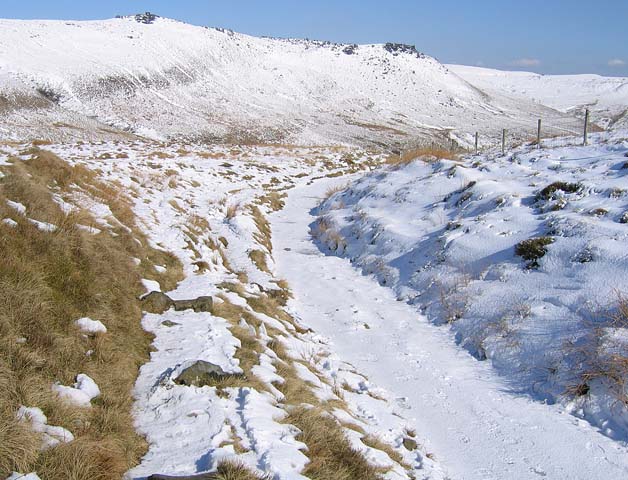 |
Descending down to Jacob's Ladder. The path on the right was just sheet ice. My route stuck to the grassy slope on the left to ensure that I stayed on my feet. |
 |
At the top of Jacob's Ladder and just dropping below the snow level. |
 |
Looking up Jacob's Ladder, Kinder Scout in the distance. |
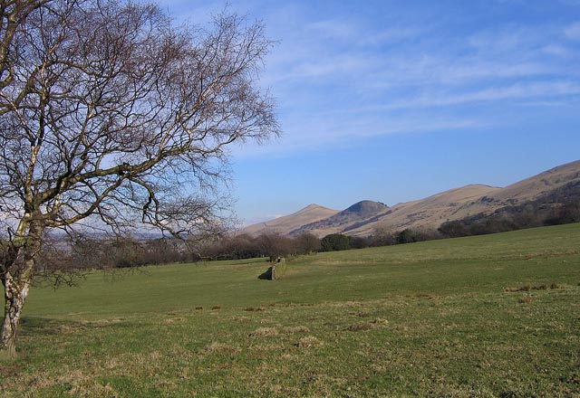 |
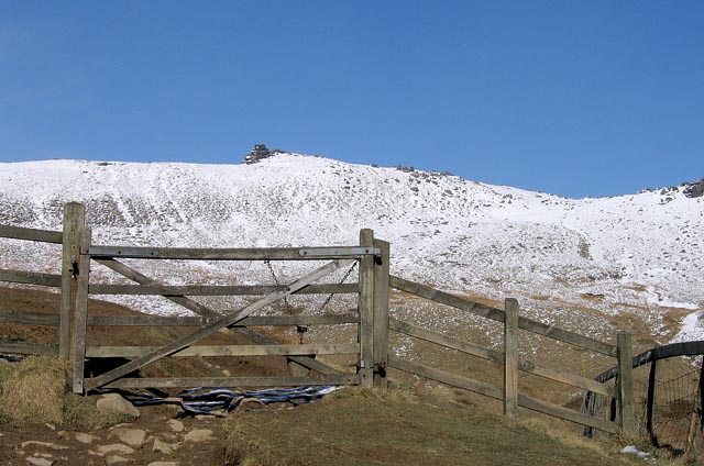
Heading back across the fields and up to the road near Mam Tor, and the National trust car park. |
Thanks for visiting. |