
|
PEAK DISTRICT - THE GREAT RIDGE CASTLETON 23rd JUNE 2006
|
Location - |
Peak District - Castleton |
Map - |
The Peak District Dark Peak Area - OL1 |
Route - |
Castleton, Losehill Hall, Twitchill Farm, Winhill Pike, Loose Hill, Back Tor, Hollins Cross, Mam Tor, Windy Knoll, Limestone Way, Cave Dale, Castleton. |
Distance - |
13.5 Miles |
Weather - |
Cool misty start, brighter later with some sunny intervals turning warmer. |
| Memory Map overlay - | Yes click here |
Route Map - |
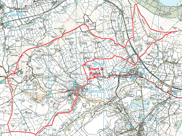 |
Image produced from the Ordnance Survey Get-a-map service. Image reproduced with kind permission of Ordnance Survey and Ordnance Survey of Northern Ireland. |
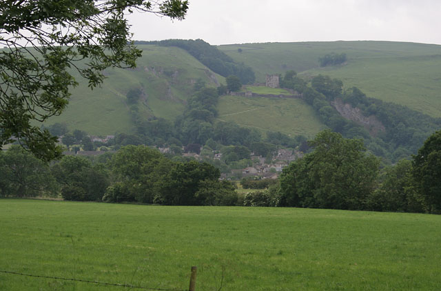 |
Just past Losehill Hall looking back to Castleton with Peveril Castle above. |
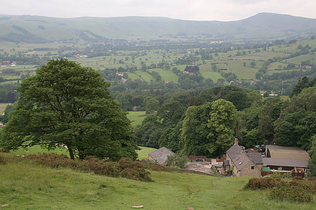 |
Above Twitchill Farm on the path up to Winhill Pike with Mam Tor the peak on the right. |
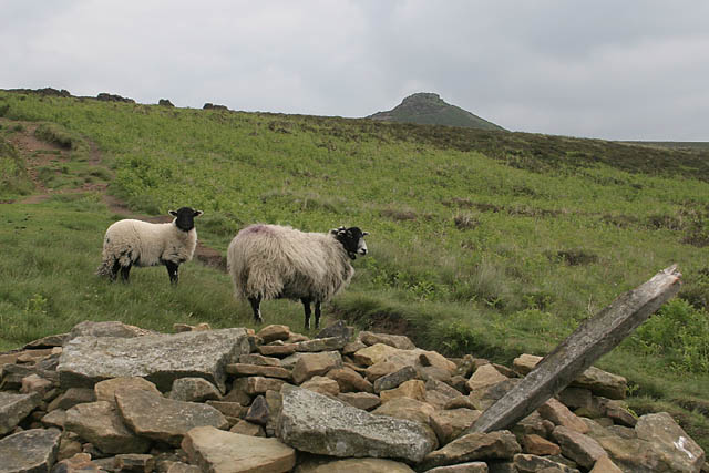 |
The first objective of the day comes into view, Winhill Pike at 462m. |
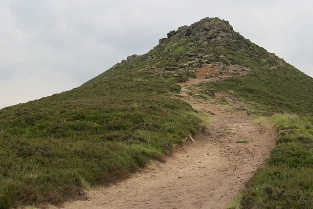 |
A short push up to the rocky summit. |
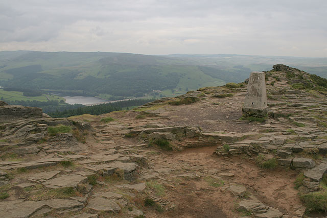 |
The summit of Winhill Pike overlooking Ladybower Reservoir. No one on the summit today. |
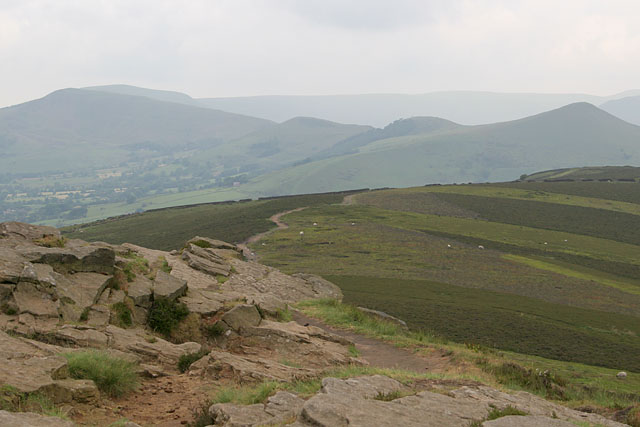 |
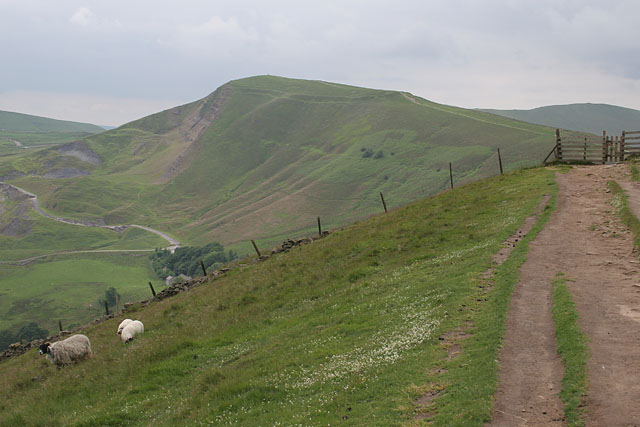
Looking ahead from Winhill Pike to my other objectives. From right to left Lose Hill, Back Tor (the one with some trees), Hollins Cross (the second cut in the profile of the ridge), and the long ascent up to Mam Tor. |
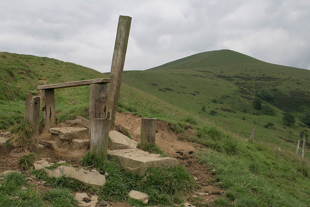 |
The climb up to Lose Hill via and old stile which doesn't seem to serve any purpose anymore. Although you could see it from quite a distance on the approach. |
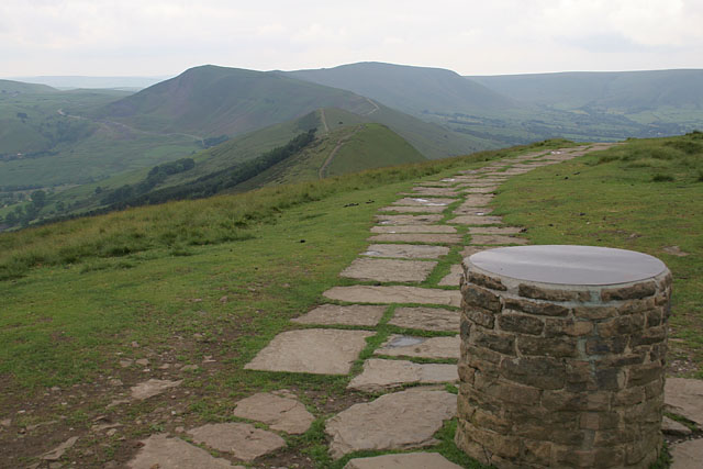 |
The summit of Lose Hill (476m) with it's topographical cairn. The footpath clearly visible following the ridge. The limited flagged stone area preventing erosion around the summit. |
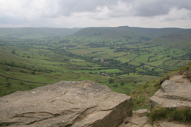 |
The Vale of Edale from the top of Back Tor. The flat summit plateau of Kinder Scout ahead. |
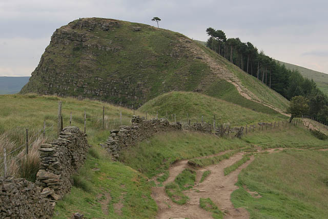 |
Looking back to Back Tor, the location of the previous photograph. |
 |
Further along the ridge looking ahead to Mam Tor and the old A625 road which has been closed for many years due to the unstable ground. |
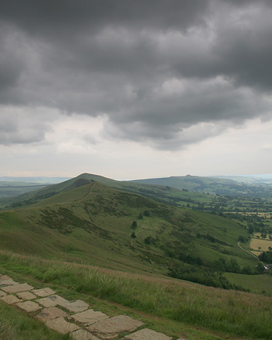 |
Heavy clouds pass over the ridge I have just walked over, Winhill Pike the little blip on the vary distant edge. |
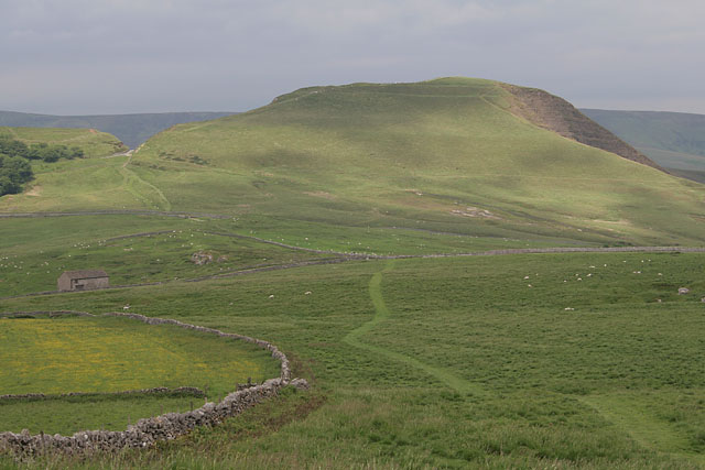 |
Mam Tor again from the route up to the Limestone Way, and my descent in to Castleton via Cave Dale.. |
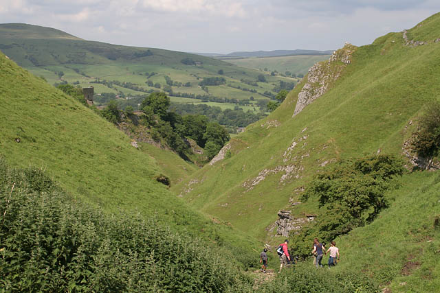 |
The top of Cave Dale with Peveril Castle just visible on the left. |
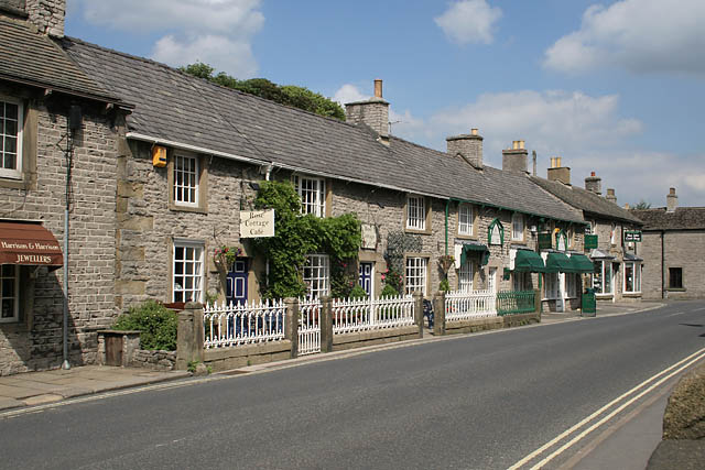 |
A very quiet main street in Castleton. |
Thanks for visiting. |