
|
PEAK DISTRICT - A CHATSWORTH HOUSE CIRCULAR 9th SEPTEMBER 2006
|
Location - |
Peak District - Chatsworth House |
Map - |
The Peak District White Peak Area - OL24 |
Route - |
Car Park (SK 25885 68497), Beeley Lodge, Beeley Hilltop, Swiss Lake, Emporer Lake, The Hunting Tower, Chatsworth House, River Derwent, Car Park. |
Distance - |
6.5 Miles |
Weather - |
Sunny and warm |
| Memory Map overlay - | Yes click here |
Route Map - |
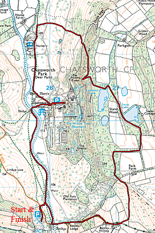 |
Image produced from the Ordnance Survey Get-a-map service. Image reproduced with kind permission of Ordnance Survey and Ordnance Survey of Northern Ireland. |
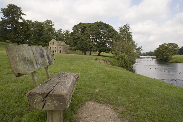 |
Joining the River Derwent at the start of the walk looking back to the derelict Mill. |
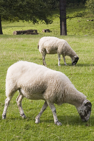 |
Keeping the grass in good shape, who needs a lawnmower? |
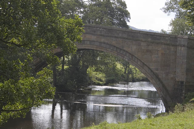 |
Crossing the river at Beeley Lodge. |
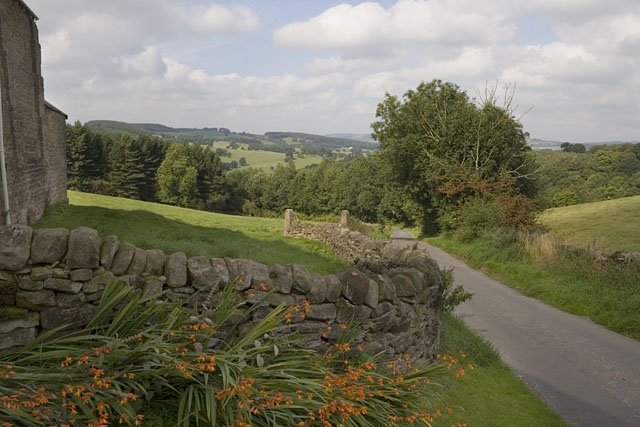 |
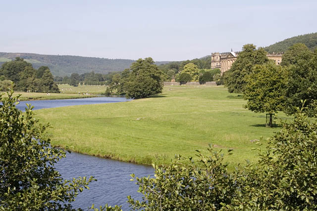
Part of the Chatsworth Estate from Beeley Hilltop. |
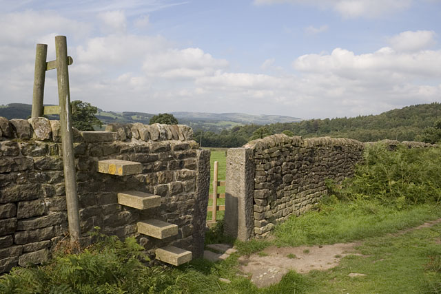 |
We chose to pass through the wall here. |
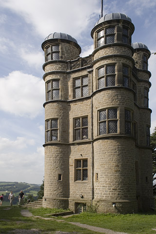 |
The Hunting Lodge, a good spot for some lunch. |
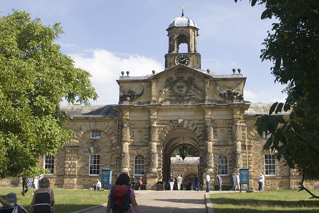 |
The stable block at Chatsworth, very popular today. |
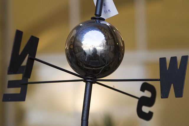 |
An item from one of the shops inside the stable block. |
 |
From the bridge in front of Chatsworth House. |
 |
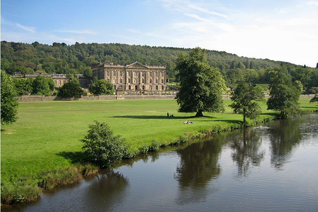
Chatsworth House and the River Derwent. |
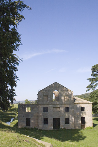 |
The derelict Mill as we reach the end of the walk. |
Thanks for visiting. |