
|
LAKE DISTRICT - CONISTON OLD MAN 23rd OCTOBER 2007
|
Location - |
Lake District - Coniston Old Man & Dow Crag |
Map - |
The English Lakes South Western Area - OL6 |
Route - |
Coniston, Walna Scar Road, Brown Pike, Buck Pike, Dow Crag, Goat's Hawse, Coniston Old Man, Low Water, Church Beck, Dixon ground, Coniston |
Distance - |
8.5 Miles |
Weather - |
Low cloud covering summits lifting much later in the day |
| Memory Map overlay - | Yes click here |
Route Map - |
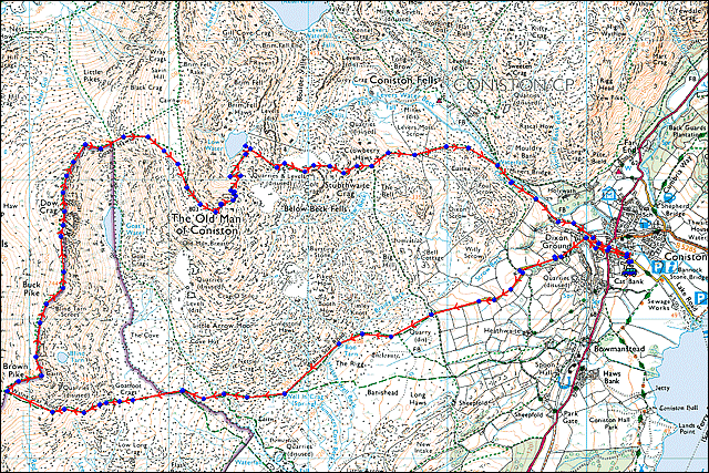 |
Image produced from the Ordnance Survey Get-a-map service. Image reproduced with kind permission of Ordnance Survey and Ordnance Survey of Northern Ireland. |
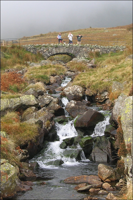 |
Taking a break at Cove Bridge on the Walna Scar road. |
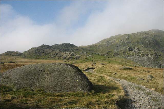 |
Looking forward along the Walna Scar road towards Brown Pike on the right. |
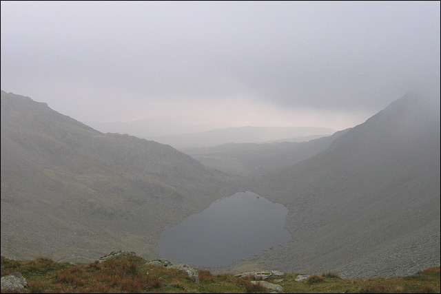 |
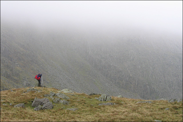
Having covered Brown Pike, Buck Pike and Dow Crag in heavy cloud we dropped down onto Goat's Hawse overlooking Goat's Water. |
 |
Taking a photograph of Goat's Water from Goat's Hawse with the bulk of the Old Man of Coniston behind. |
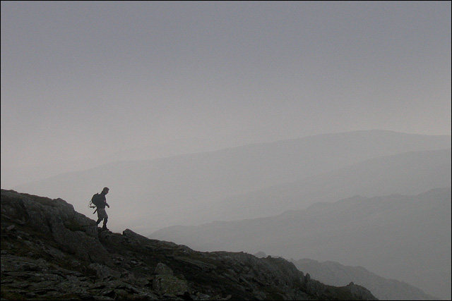 |
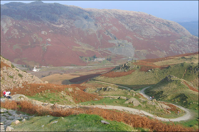
Descending the Old Man with the fells receding into the distance. |
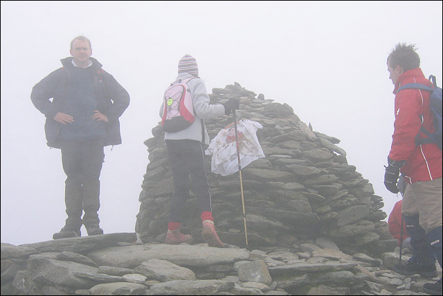 |
Back into the cloud at the summit cairn of the Old Man of Coniston (803m). |
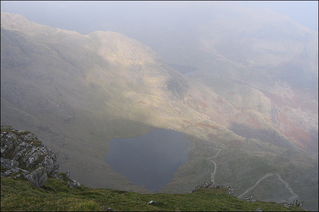 |
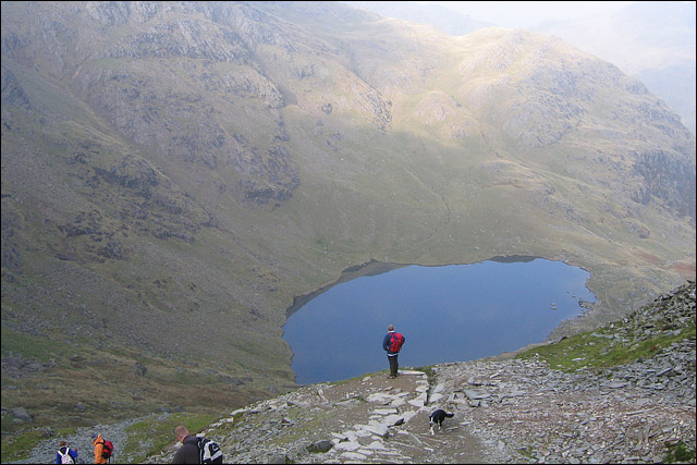
The descent of our route overlooking Low Water in the foreground with the very end of Levers Water barely visible behind. The zig zag path easy to spot. |
 |
Half way down the zig zag path over Low Water. |
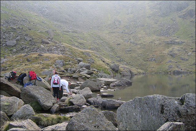 |
A short stop at Low Water before continuing down. |
 |
Lowe still and our path splits left into the Coppermines Valley. |
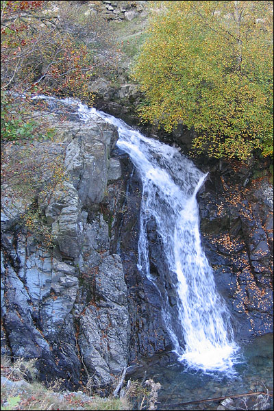 |
One of the may waterfalls on Levers Water Beck and Church Beck. |
Thanks for visiting. |