
|
PEAK DISTRICT - CROOK HILL & LADYBOWER RESERVOIR 11th APRIL 2007
|
Location - |
Peak District - Crook Hill & Ladybower Reservoir |
Map - |
The Peak District Dark Peak Area - OL1 |
Route - |
Car Park (17993, 88492), Crook Hill, Grimbocar Woods, Snake Road, Hope Cross, Blackley Clough, Rowlee Bridge, Rowlee Farm, Woodcock Coppice, Hagg Side, Car Park |
Distance - |
8 Miles |
Weather - |
Cloudy start with bright warm sun later |
| Memory Map overlay - | Yes click here |
Route Map - |
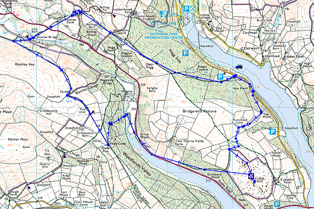 |
Image produced from the Ordnance Survey Get-a-map service. Image reproduced with kind permission of Ordnance Survey and Ordnance Survey of Northern Ireland. |
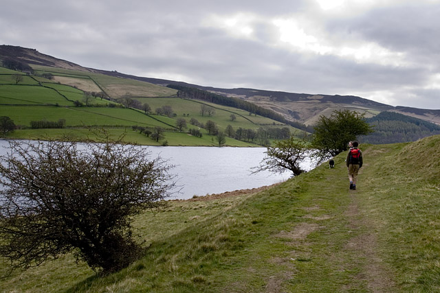 |
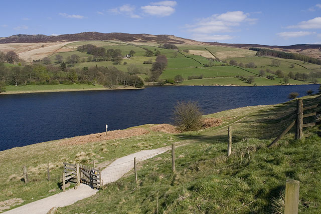
Starting the walk at the side of Ladybower Reservoir under cloudy skies. Charlotte & Chris take the lead with Tess. |
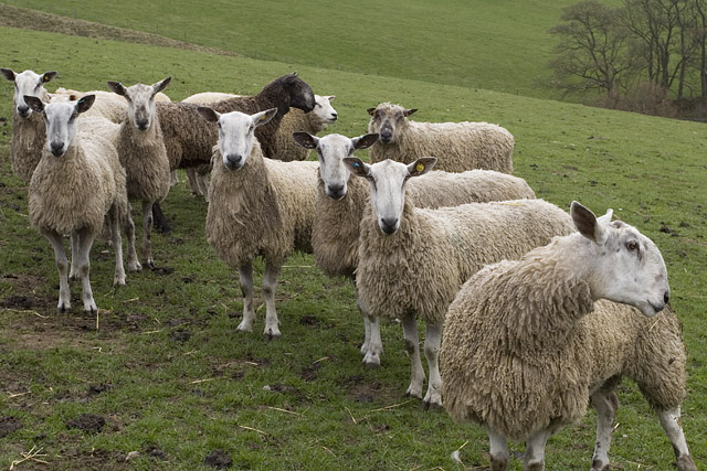 |
Watching us with great interest. |
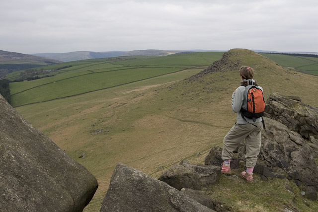 |
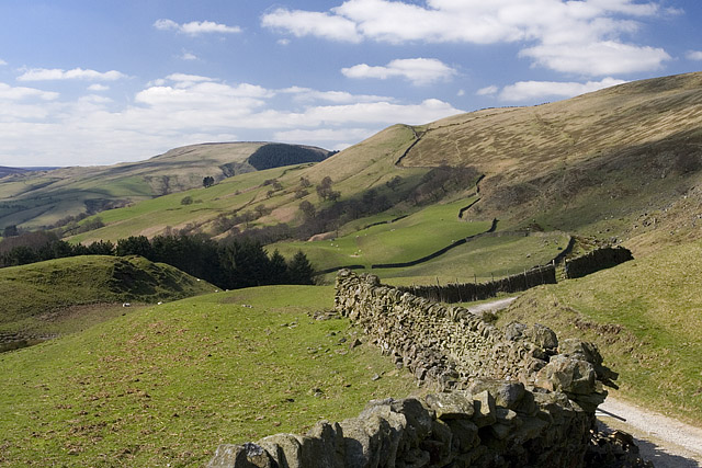
Admiring the views on top of Crook Hill. |
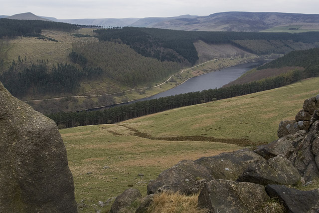 |
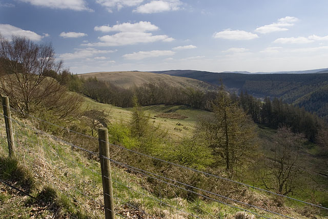
From Crook Hill and the western end of Ladybower Reservoir in Woodlands Valley. |
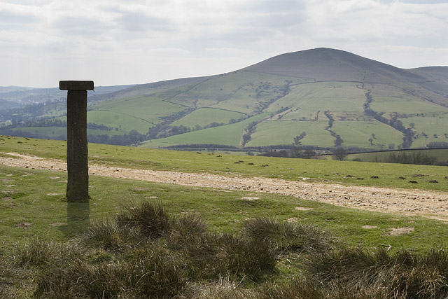 |
Hope Cross and Loose Hill across the valley. |
 |
From Hope Cross looking north west up the old Roman Road the next part of our walk. The sun now beginning to burn off the clouds. |
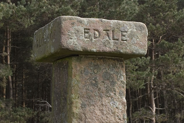 |
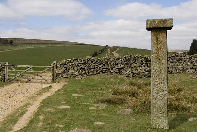
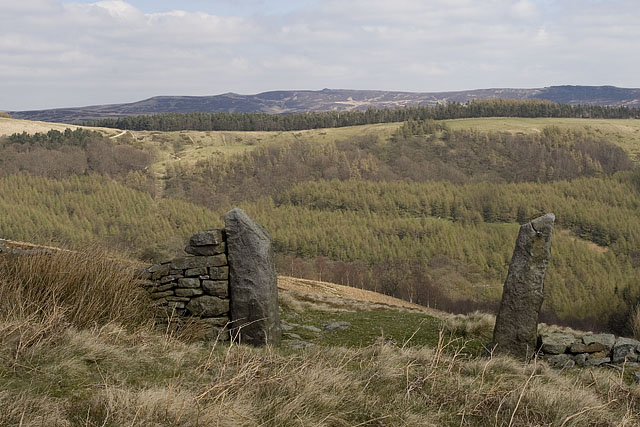
A close up of Hope Cross. |
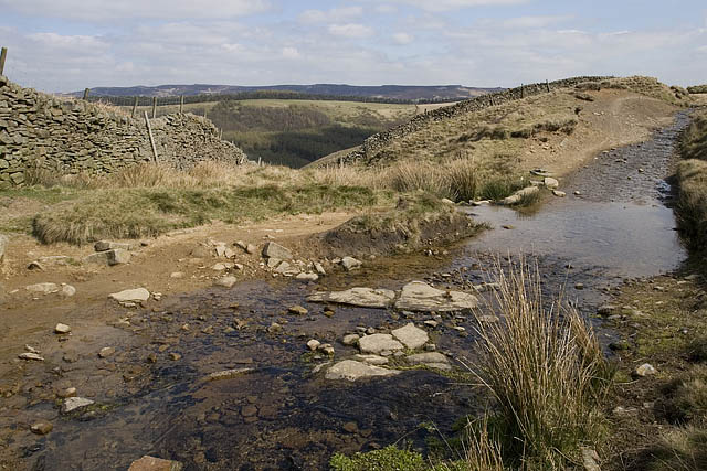 |
Crossing Blackley Clough. |
 |
From the Roman Road looking across the Woodlands Valley to the later part of our walk on top of the ridge near the trees. |
 |
Dropping down from Blackley Hey to Rowlee Bridge. |
 |
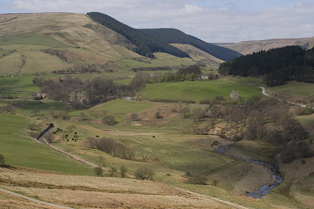
Woodlands Valley from above Rowlee Farm. |
 |
Woodlands Valley with Ladybower just hidden from view by the trees. |
 |
Returning to the car park with very different conditions from the start of the walk. |
Thanks for visiting. |