| Location- | Crowden (Derbyshire) |
| Map- | The Peak District (Dark Peak area) OL1 |
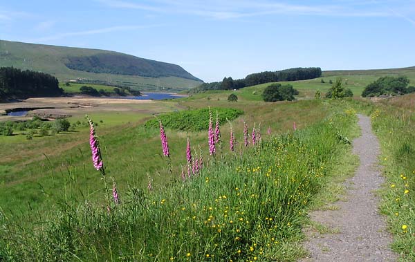
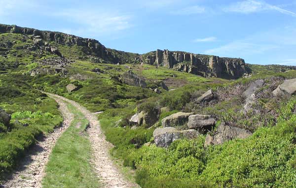
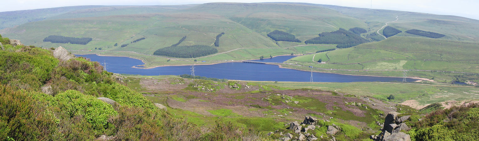
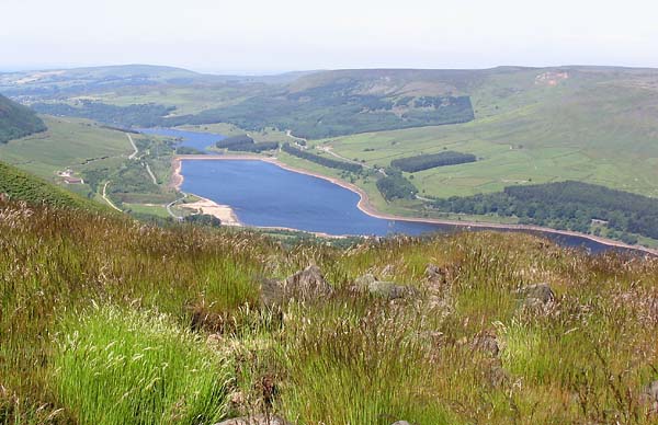
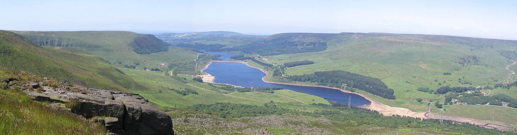
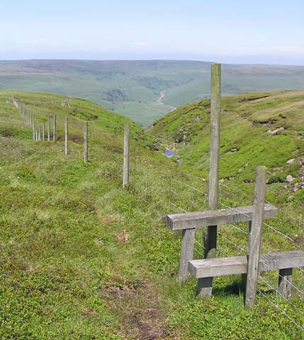
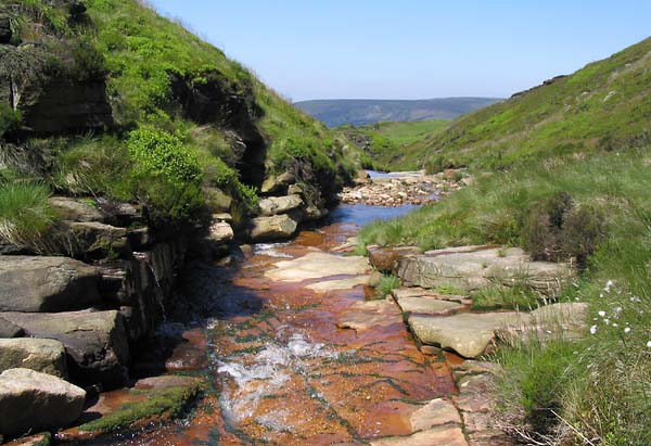
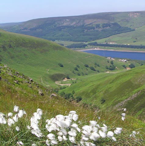
| Route- | Crowden- Stable Clough- Dowstone Rocks- Lawrence Edge- Wildboar Clough- Torside Clough- Bramah Edge- Ogden Clough- Rhodeswood Dam- Didsbury Intake- Lad's Leap Crowden |
| Distance- | 13 miles |
| Weather- | Sunny and hot |
| Location Map- | Yes |
| Memory Map- | Yes |
 |
 |
 |
 |
 |
 |
 |
 |
 |
 |
 |