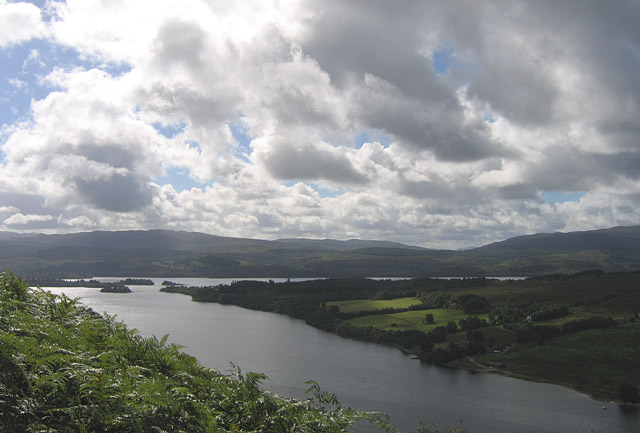
| Location- | Loch Awe (Argyll and Bute Scotland) |
| Map- | Loch Etive & Glen Orchy Explorer 377 |
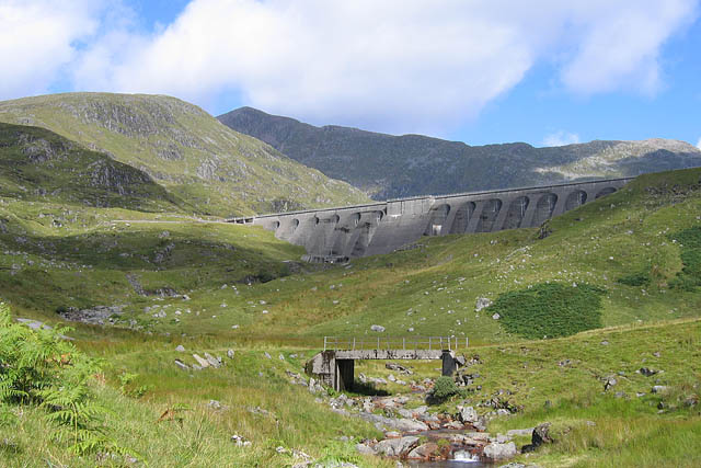
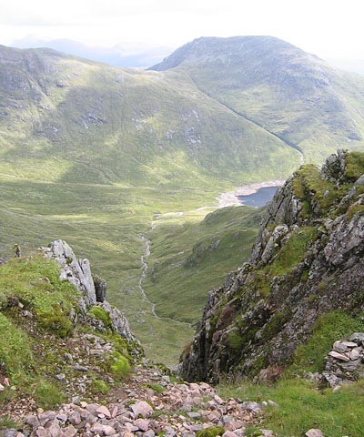
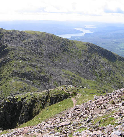
| Route- | Cruachan Power Station- Cruachan Dam- Bealach an Lochain- Ben Cruachan (Munro 1126m)- Drochaid Ghlas (Top 1109m)- Stob Diamh (Munro 998m)- Stob Garbh (Top 980m)- Cruachan Reservoir- Cruachan Power Station |
| Distance- | 9 miles |
| Weather- | Sunny Intervals |
| Location Map- | Yes |
| Memory Map- | Yes |
 |
 |
 |
 |
 |
 |
 |
 |
 |