
|
PEAK DISTRICT - BASLOW EDGE 20th MAY 2011
|
Location - |
Peak District - Baslow Edge & Birchen Edge |
Map - |
The Peak District White Peak Area - OL24 |
Route - |
Roadside parking (SK 2598, 7491), Baslow Edge, Wellington Monument, Nelsons Monument, Birchen Edge, Robin Hood, Wellington Monument, below Baslow Edge to Car. |
Distance - |
6.5 Miles |
Weather - |
Sunny intervals turning cloudier later with a strong wind |
| Memory Map overlay - | Yes click here |
Route Map - |
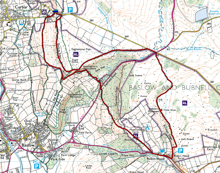 |
Image produced from the Ordnance Survey Get-a-map service. Image reproduced with kind permission of Ordnance Survey and Ordnance Survey of Northern Ireland. |
 |
Leaving the car heading up the short walk to Baslow Edge, here looking down towards Curbar. |
 |
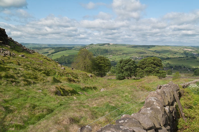
The southern end of Curbar Edge from Baslow Edge |
 |
Calver from the viewpoint on Baslow Edge. Very easy to reach from the road. |
 |
As close as I dare get for this photo. Not typical of the Peak District. |
 |
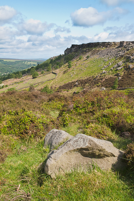
More typical gritstone forming Baslow Edge and most of the other edges in the Peak District. |
 |
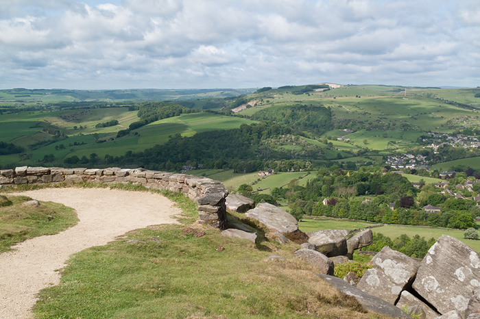
Baslow, from the Edge bearing its name. |
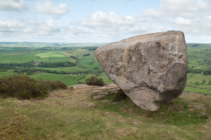 |
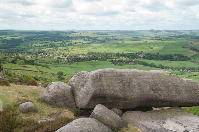
Some rocks left precariously balancing on the edge probably from the ice age. |
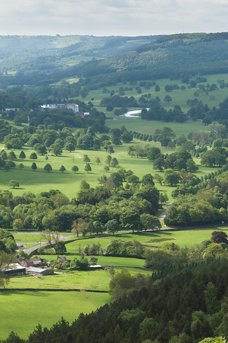 |
Chatsworth House and Estate from Baslow Edge. |
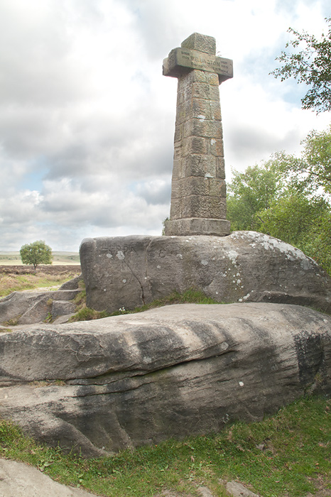 |
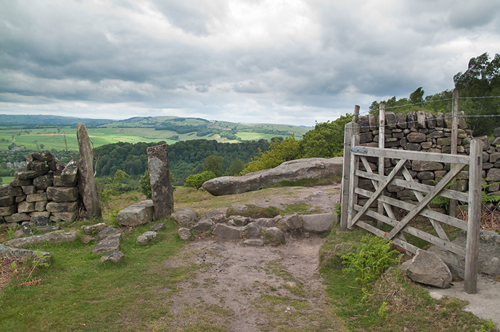
Wellington's Monument on the southernmost part of Baslow edge. |
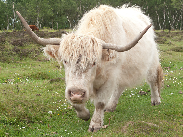 |
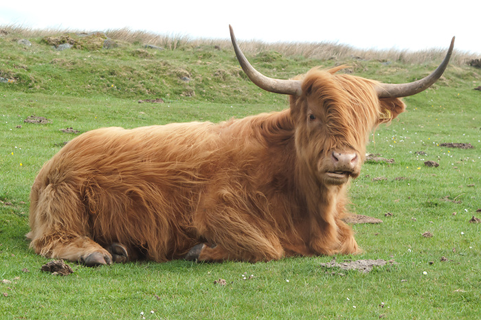
More Highland Cattle and I got a little too close this time I think. |
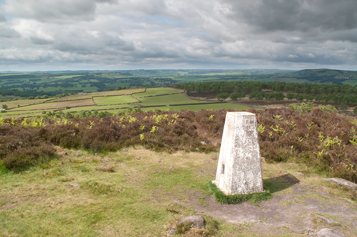 |
Trig point on the top of Birchen Edge. Good visibility today. |
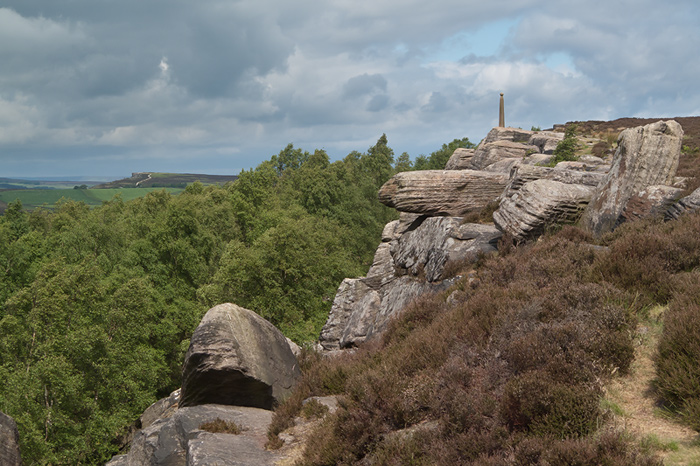 |
Nelson's Monument on Birchen edge.
Behind are three large gritstone rock formations each carved with the names of three fighting ships Victory, Defiance and Royal Sovereign. |
 |
Returning from Robin Hood reaching the top of the hill. Clouds building all the time now. |
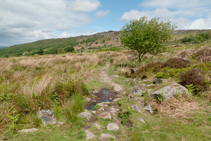 |
Returning to the start of the walk below Baslow Edge with Curbar Edge ahead. |
Thanks for visiting. |