
|
PEAK DISTRICT - MILLSTONE EDGE & PADLEY 13th October 2006
|
Location - |
Peak District - Millstone Edge & Padley |
Map - |
The Peak District Dark Peak Area - OL1 & White Peak Area - OL24 |
Route - |
Car Park (SK 25163, 80089), Mother Cap, Over Owler Tor, Hathersage Moor, Millstone Edge, Owler Tor, Burbage Brook, Upper Padley, Bolehill Quarry, Car Park |
Distance - |
5.25 Miles |
Weather - |
Sunny at the higher levels with cloud inversion. |
| Memory Map overlay - | Yes click here |
Route Map - |
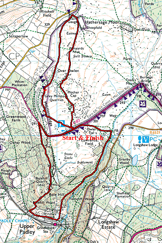 |
Image produced from the Ordnance Survey Get-a-map service. Image reproduced with kind permission of Ordnance Survey and Ordnance Survey of Northern Ireland. |
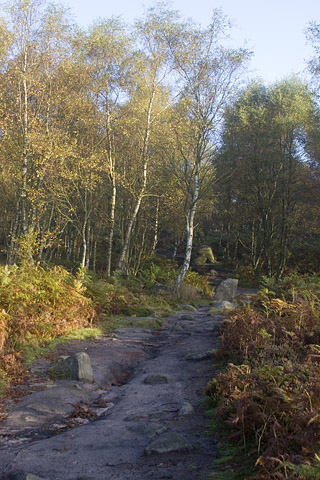 |
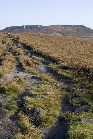
Just leaving the car park and heading up towards Mother Cap. |
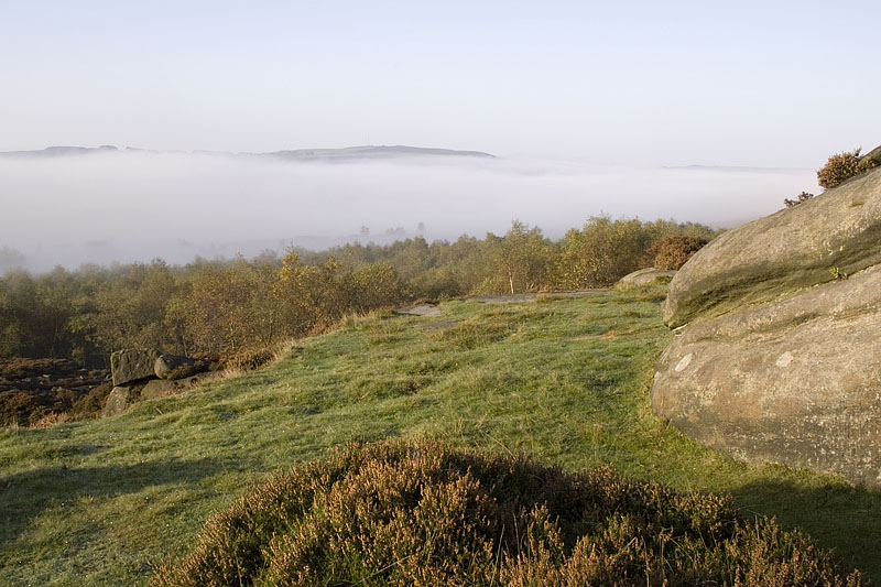 |
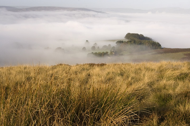
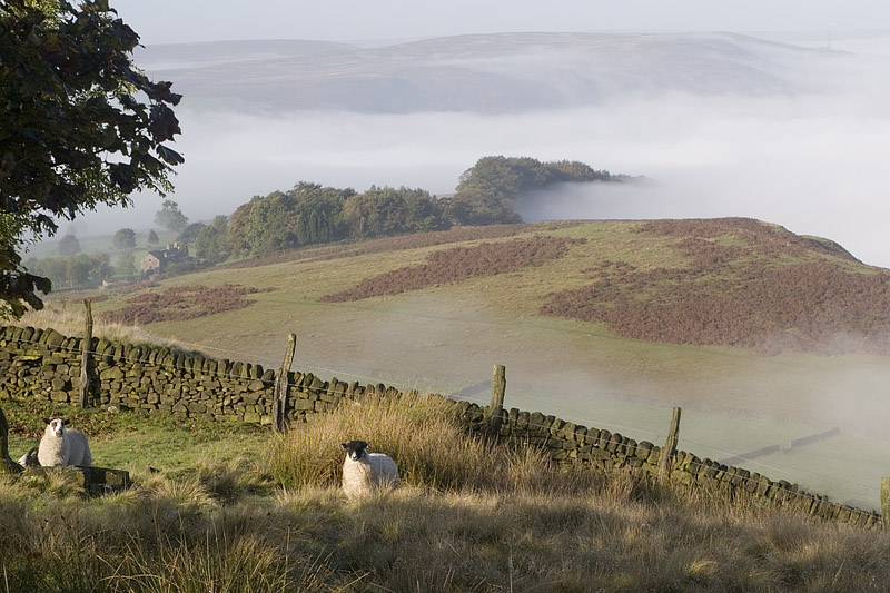
The first of many photographs of cloud inversion over Hope Valley, plenty more to follow. |
 |
Cloud inversions are my favorite weather conditions. The fog sticking at lower levels with warm sun above. |
 |
Looking up to Higger Tor. This was going to be part of my route, but with the cloud inversion I couldn't resist changing the walk to follow Millstone Edge and enjoy the weather conditions. |
 |
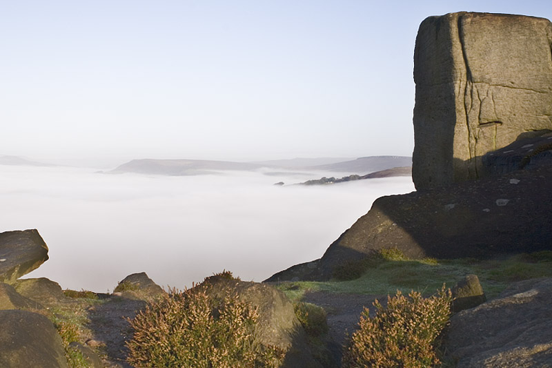
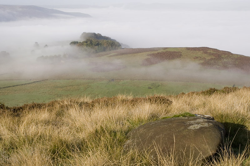
The conditions changed very slowly each minute. |
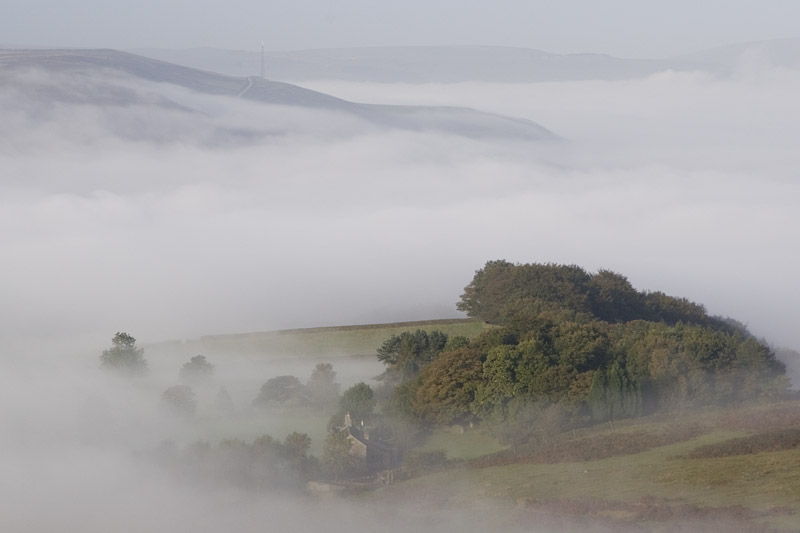 |
Compare this photograph with the next one to see just how quickly the cloud changes. |
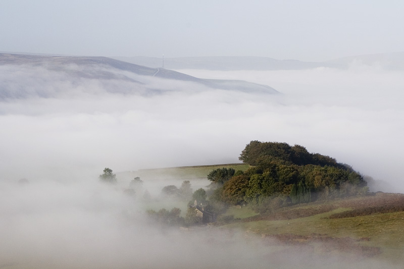 |
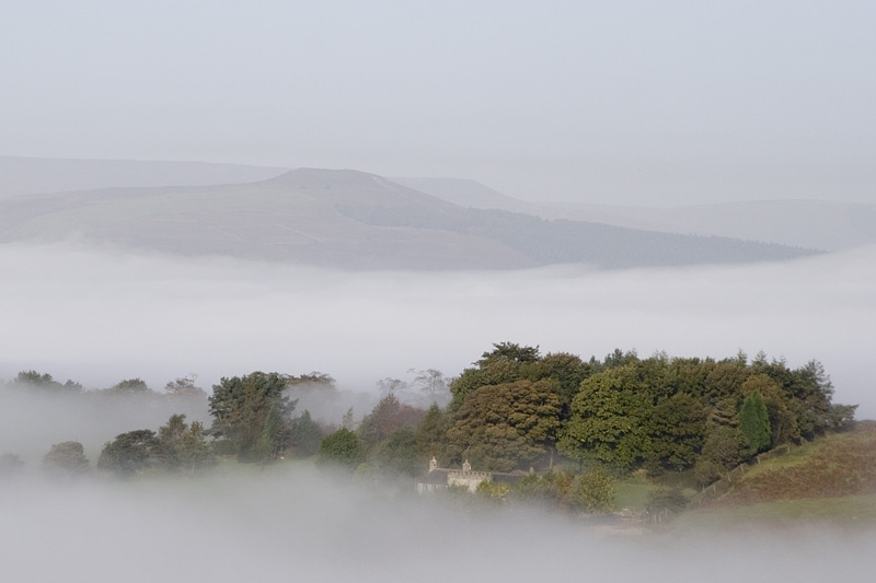
A little clearer in this image. |
 |
Picking up the Open Access Land boundary I followed the footpath running along the wall back to the start of the walk. |
 |
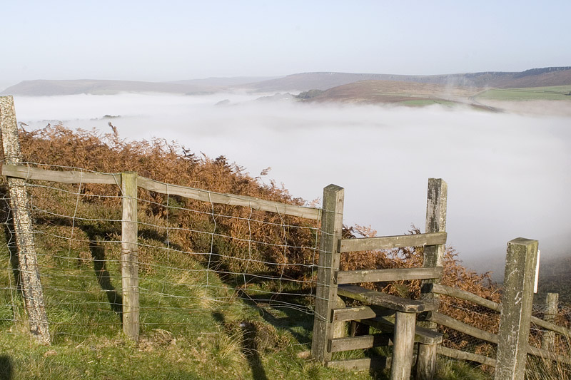
More photographs as I enjoyed the view. |
 |
And another! |
 |
Crossing this stile put me above the climbing area of Millstone Edge. |
 |
Nearing the start of the walk again. |
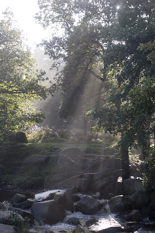 |
Crossing over the A6187 I dropped down to Burbage Brook and through the trees to Padley. |
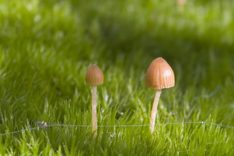 |
Blackening Wax-Cap I think! |
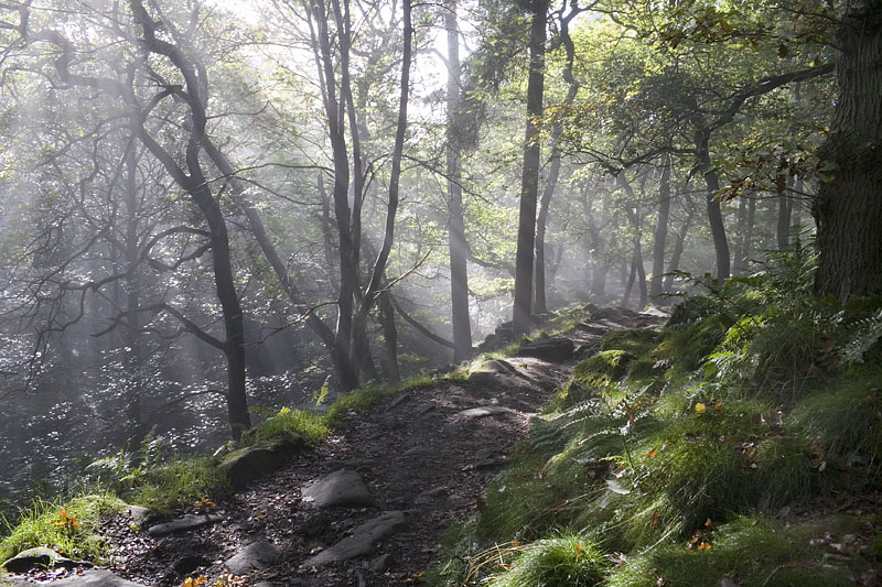 |
As I entered the lower part of the woodland the mist and sun combined to give a magical light. |
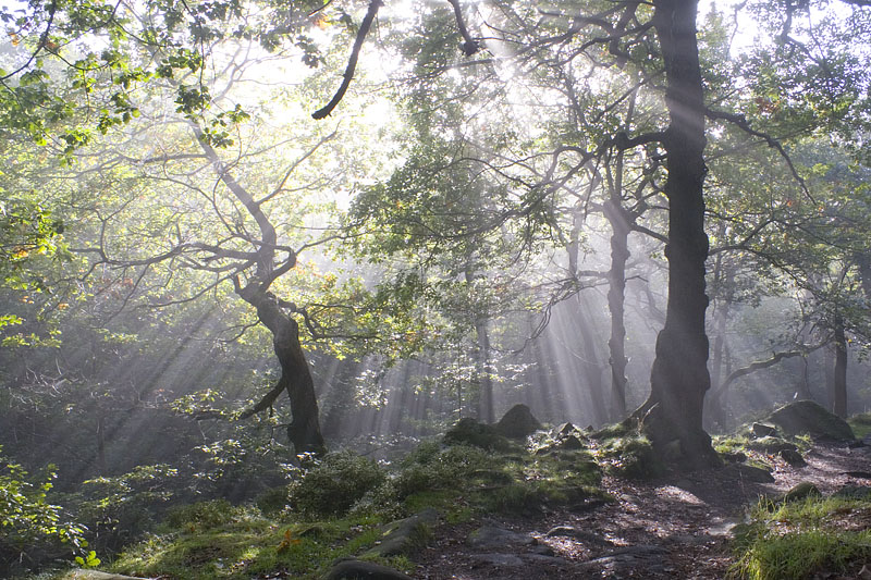 |
I was being spoilt today with the light and weather conditions. |
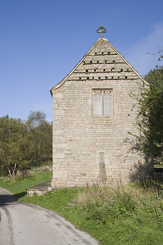 |
Padley Chapel. |
 |
Passing through the old Bolehill Quarry. |
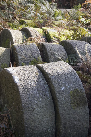 |
Millstones, and plenty of them. Someone must have spent many hours crafting these stones. |
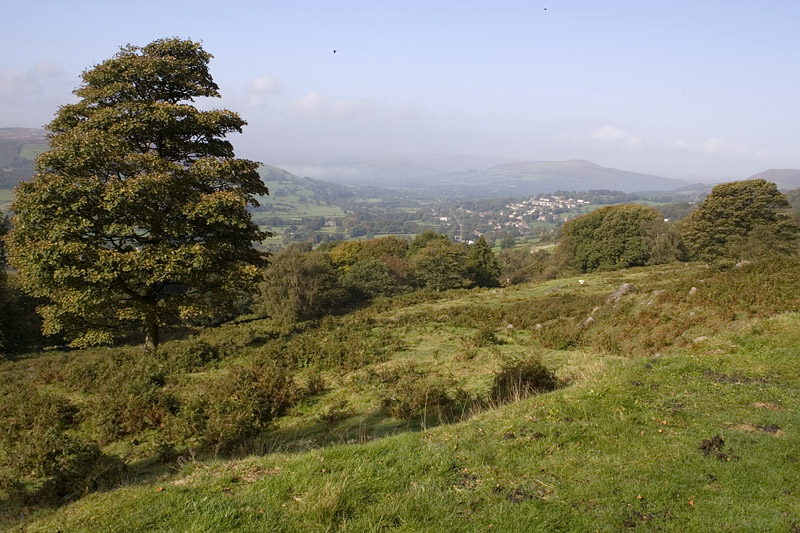 |
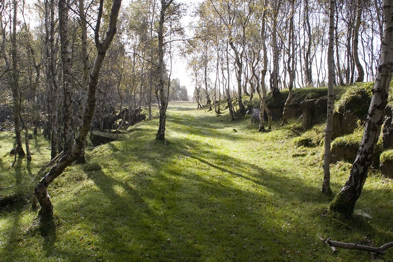
Finally leaving the woodland and the fog in the valleys just about gone . |
Thanks for visiting. |