
|
NORTHUMBERLAND - DUNSTANBURGH AND CRASTER 13th AUGUST 2007
|
Location - |
Northumberland - Craster & Dunstanburgh |
Map - |
Alnwick & Amble Craster & Whittingham - 332 |
Route - |
Embleton C & C Site, Dunstan, Craster, Dunstanburgh Castle, Embleton Bay, Embleton C & C Site |
Distance - |
6.75 Miles |
Weather - |
Sunny Intervals with an odd shower. |
| Memory Map overlay - | Yes click here |
Route Map - |
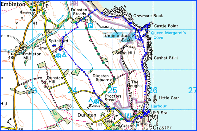 |
Image produced from the Ordnance Survey Get-a-map service. Image reproduced with kind permission of Ordnance Survey and Ordnance Survey of Northern Ireland. |
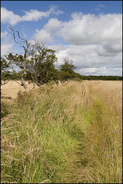 |
Footpath behind the C & C site on what looks like a promising day for the weather. |
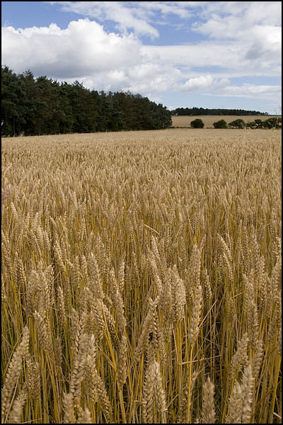 |
Wheat almost ready for harvesting on the way to Craster. |
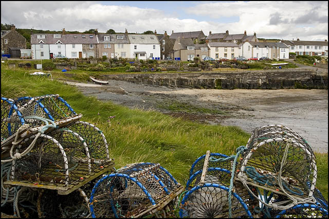 |
Craster famous now for its smoked kippers at L. Robsons |
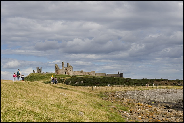 |
From the costal path just north of Craster heading for Dunstanburgh Castle. |
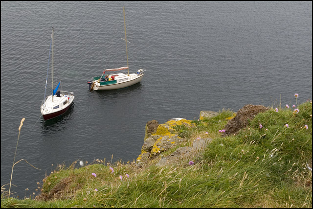 |
Boats anchored just below the cliffs of Dunstanburgh Castle. |
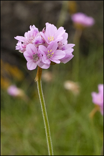 |
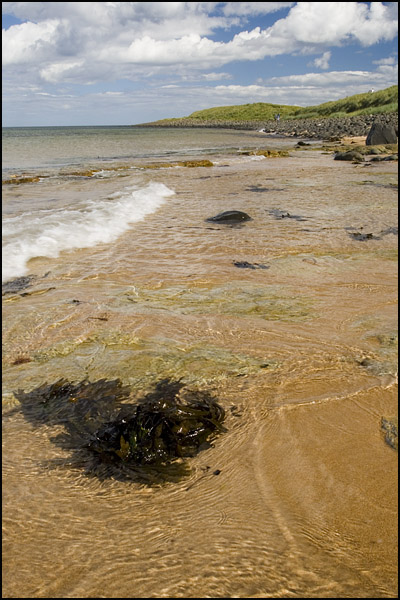
Flowers on the coast near Dunstanburgh. |
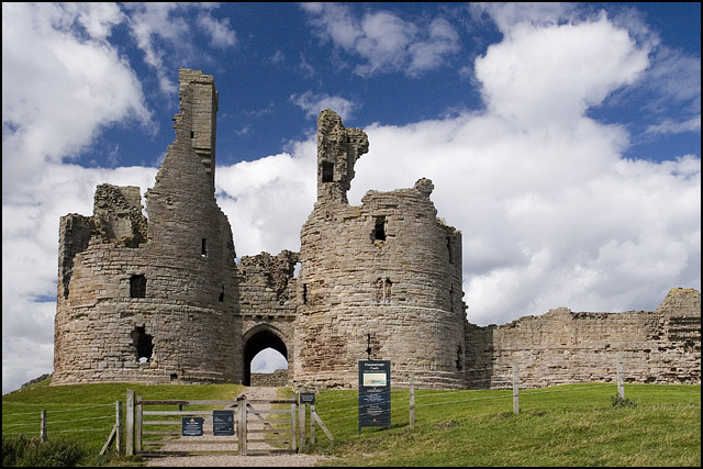 |
More sunshine at the entrance to Dunstanburgh Castle. |
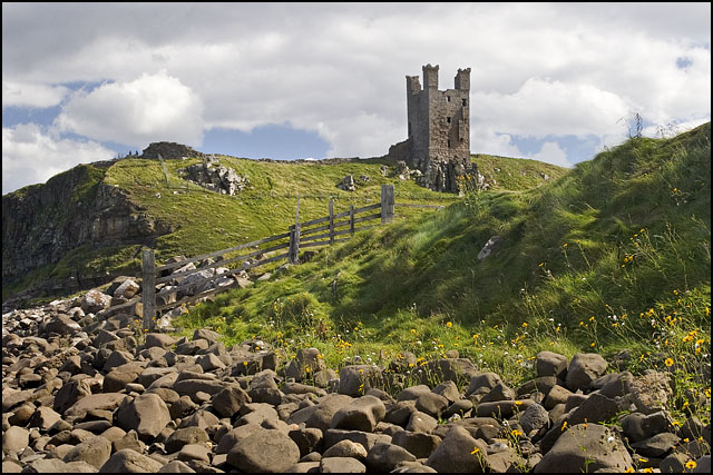 |
Lilburn Tower from near Graymere Rocks. |
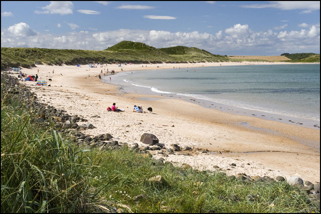 |
Approaching Embleton Bay. |
 |
The clear waters of Embleton Bay. |
Thanks for visiting. |