
|
PEAK DISTRICT - RIVER BRADFORD FROM ELTON 23rd MAY 2010
|
Location - |
Peak District - River Bradford from Elton |
Map - |
The Peak District White Peak Area - OL24 |
Route - |
Elton, Cliff Farm, Tomlinson Wood, Bleakley Plantation, Mawstone Farm, Youlgrave, River Bradford, Middleton, Whitfield Lane, Mount Pleasant Farm, Rock Farm, Elton |
Distance - |
7.5 Miles |
Weather - |
Hot and Sunny |
| Memory Map overlay - | No |
Route Map - |
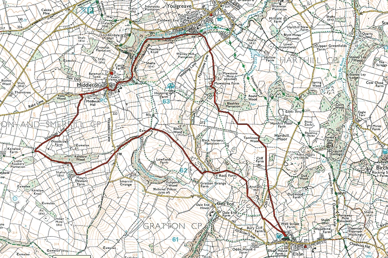 |
Image produced from the Ordnance Survey Get-a-map service. Image reproduced with kind permission of Ordnance Survey and Ordnance Survey of Northern Ireland. |
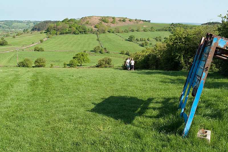 |
Leaving the village of Elton heading down the hill to Cliff Lane with Anthony Hill ahead. |
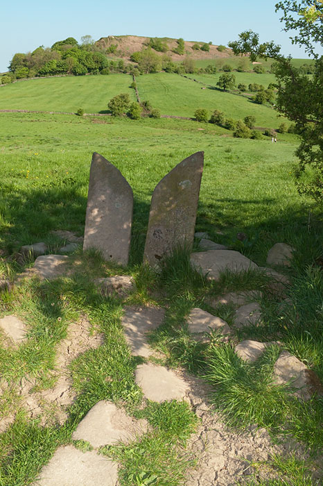 |
Further down the hill. |
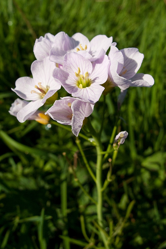 |
Cuckoo Flower I believe. |
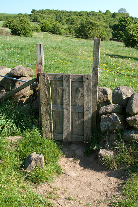 |
One of the many types of gated style I came across today. The wild flowers beyond typical of the Dales on a hot May day. |
 |
Another gate and more wild flowers. |
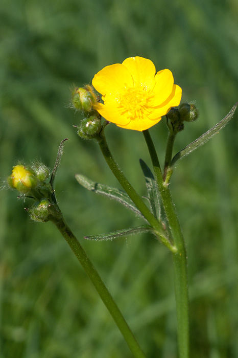 |
Buttercup in a little more detail. |
 |
Nearing Bleakley Plantation. |
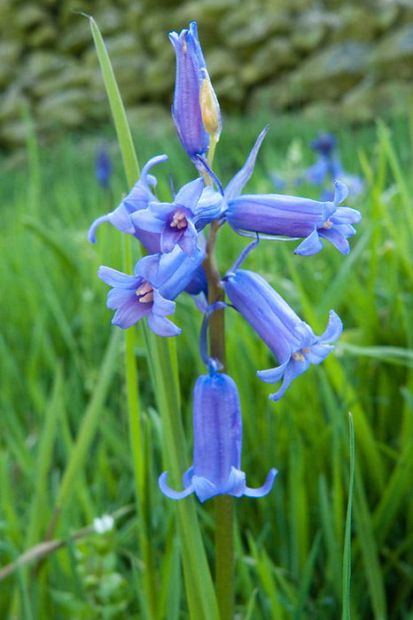 |
A few Bluebells remain in the shady spots. |
 |
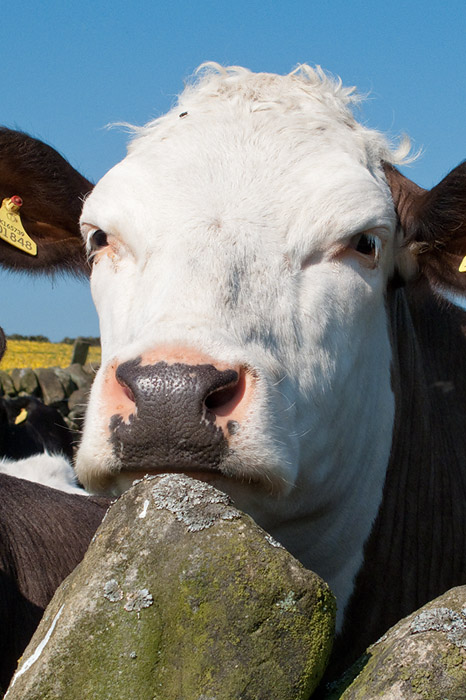
I was being watched from over the wall. |
 |
Then more cows came to see who was walking past on such a hot day. |
 |
I think this one had seen enough and was now quite bored. |
 |
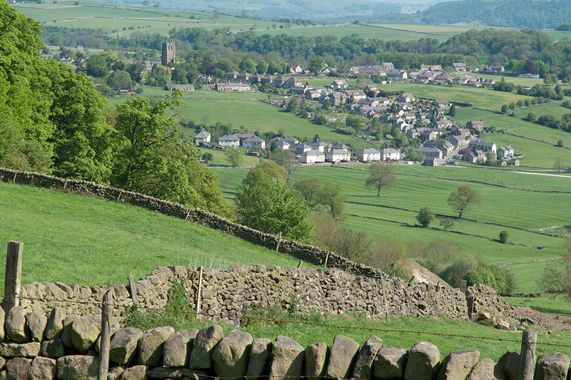
Youlgrave from Bleakley Plantation. |
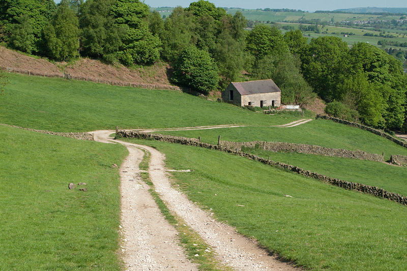 |
The path down leading eventually to Mawstone Farm. |
 |
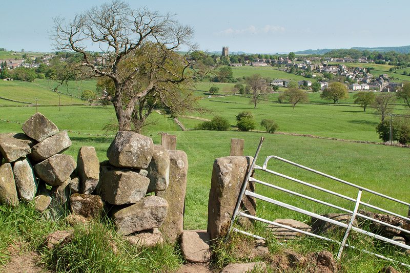
The outskirts of Youlgrave. |
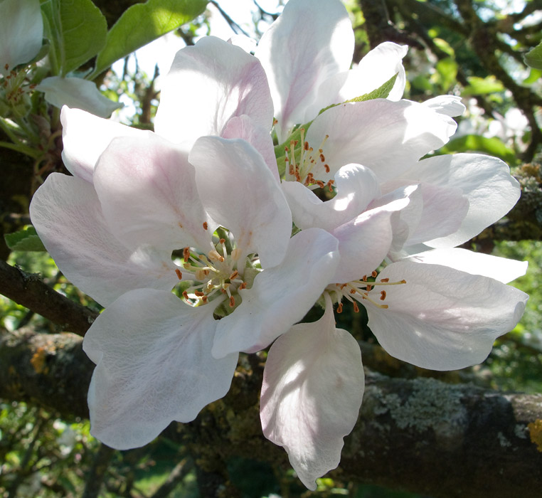 |
Fruit blossom adding to the spring colours. |
 |
Youlgrave. |
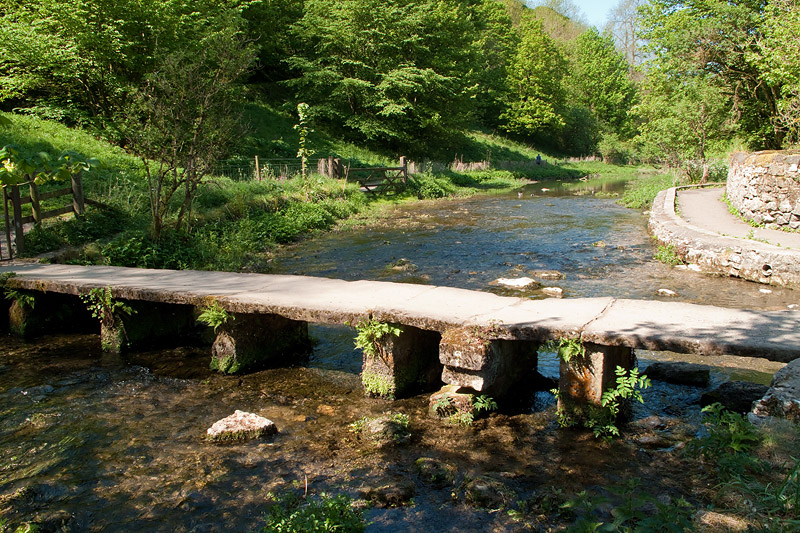 |
The clapper bridge over the River Bradford. |
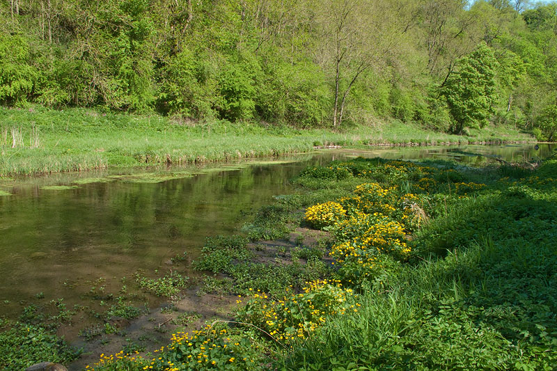 |
A little shade and cold running water on an unusually hot May day where temperatures in Nottingham reached 28.9c (84f). |
 |
A very elegant way of stacking wood in Mount Pleasant Farm. |
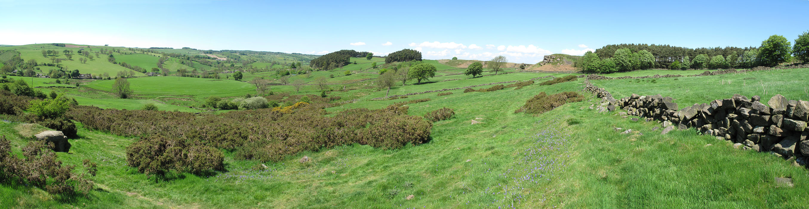 |
Near Anthony Hill I took a panoramic image (click on the image for the full version). I also took a short video here (32Mb). |
Thanks for visiting. |