
|
PEAK DISTRICT - EYAM & ABNEY MOOR 26th JUNE 2010
|
Location - |
Peak District - Eyam Moor & Abney Moor |
Map - |
The Peak District White Peak Area - OL24 & Dark Peak Area OL1 |
Route - |
Sir William Hill Road, Eyam Moor, Leam, Hazleford, Tor Farm, Highlow Wood, Highlow Hall, Offerton Hall, Offerton Moor, Abney Moor, Grange Farm, Bretton Clough, Broad Low, Sir William Hill Road. |
Distance - |
10 Miles |
Weather - |
Bright with some sun, very warm |
| Memory Map overlay - | Yes click here |
Route Map - |
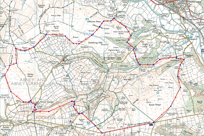 |
Image produced from the Ordnance Survey Get-a-map service. Image reproduced with kind permission of Ordnance Survey and Ordnance Survey of Northern Ireland. |
 |
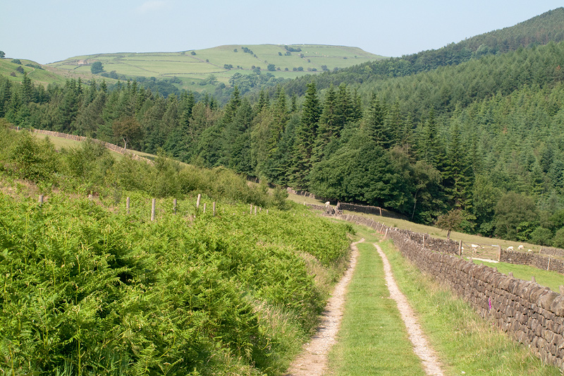
Crossing Sir William Hill Road and entering Eyam Moor. |
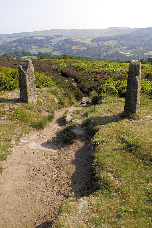 |
Overlooking the Derwent Valley with Higger Tor in the distance. |
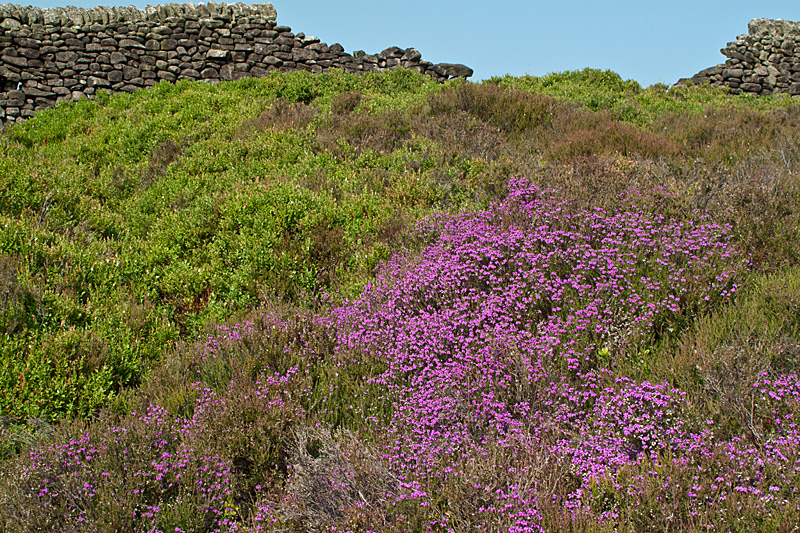 |
Heather in bloom adding a splash of colour. |
 |
Wild flowers and Hathersage visible in the distance. |
 |
Passing Tor Farm we head toward Highlow Wood. A welcome bit of shade and some cooler air today. |
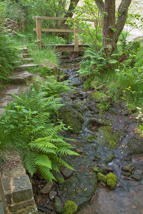 |
Pleasantly cool down in the wood as we cross Highlow Brook. The gurgling waterfalls the only real noise. |
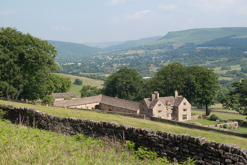 |
Offerton Hall understood to have been built during the reign of Henry IV (1367 - 1413). |
 |
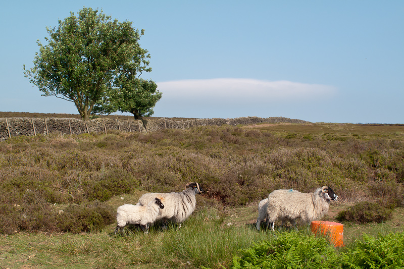
Crossing over Offerton Moor we needed to cross this small stretch of water called Siney Snitch, assuming the sheep and her lamb would clear the walkway. |
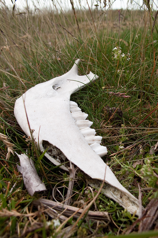 |
A victim of winter or a predator perhaps. |
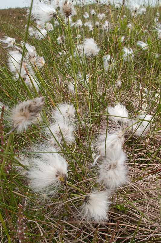 |
Cotton Grass on Abney Moor. |
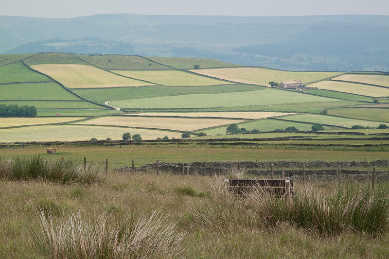 |
Abney Low from the footpath near Abney Grange. |
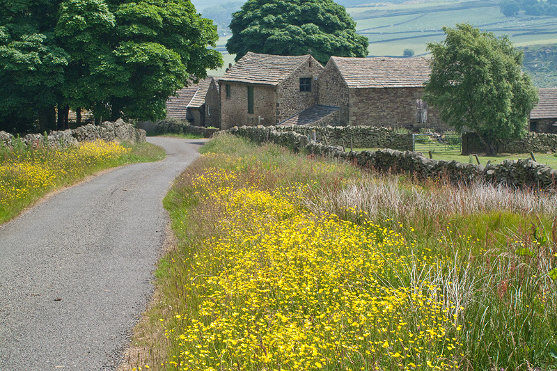 |
Grange Farm, the footpath sign on the right just before the first building pointing the way forward for our walk today. |
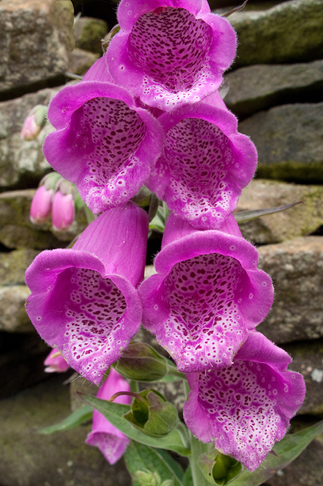 |
Foxglove flowers, the bee flew off just as I took this photograph. |
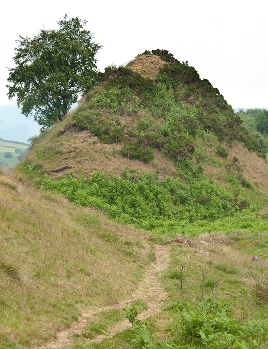 |
Entering the western end of Bretton Clough. Strange peaks like extinct volcanoes rising up steeply. |
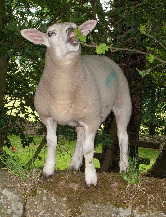 |
This lamb obviously has good climbing skill to get on the top of the wall. |
Thanks for visiting. |