
|
PEAK DISTRICT - FIVE DALES WALK 2nd MARCH 2007
|
Location - |
Peak District - Five Dales from Peak Forest |
Map - |
The Peak District White Peak Area - OL24 |
Route - |
Road side parking (11403, 79349), Damside Farm, Dam Dale Farm, Dam Dale, Hay Dale, Peter Dale, Monk's Dale, Millers Dale, Limestone Way, Wheston, Hay Dale, Limestone Way Farm, Dam Dale Farm, Finish. |
Distance - |
10.5 Miles |
Weather - |
Sunny to start then clouding over. |
| Memory Map overlay - | Yes click here |
Route Map - |
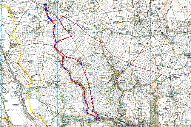 |
Image produced from the Ordnance Survey Get-a-map service. Image reproduced with kind permission of Ordnance Survey and Ordnance Survey of Northern Ireland. |
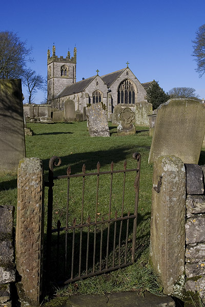 |
The church at Peak Forest. |
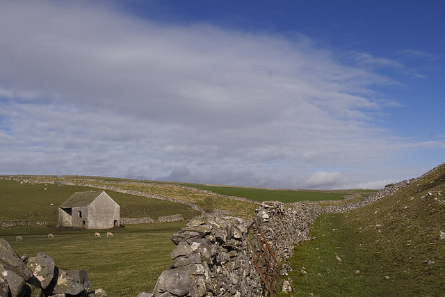 |
North from Dam Dale. |
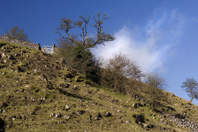 |
To the West just before entering Hay Dale. |
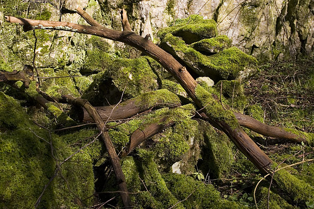 |
Heavy moss in the shelter of Peter Dale. |
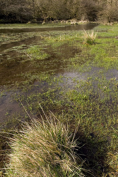 |
At the end of Monks Dale the recent wet weather has flooded a large part of the valley floor. |
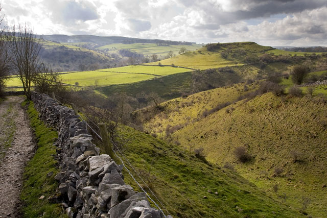 |
Rising up on the Limestone Way with Monks Dale crossing from left to right and Millers Dale running parallel in the distance. |
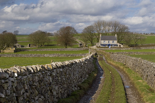 |
Further along the Limestone Way heading towards Wheston which sits over the brow ahead. |
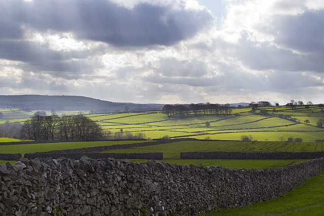 |
A little sun casting a warm glow over the Dales near Wheston. |
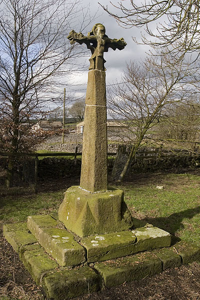 |
Wheston Cross accessible from the road through a small gate. |
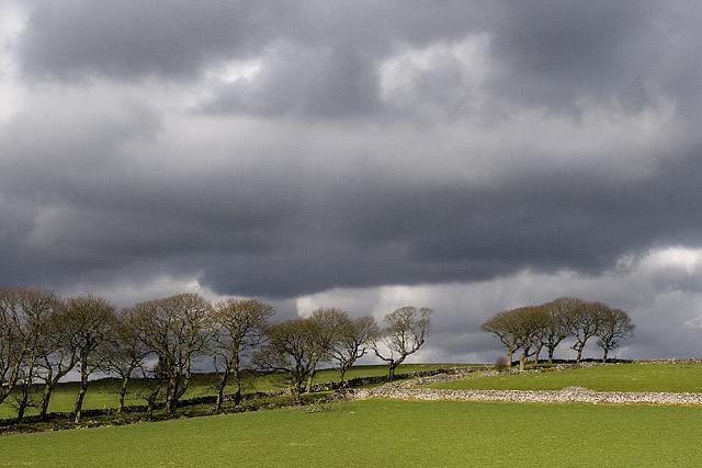 |
Menacing clouds between Dale Head and Wheston. |
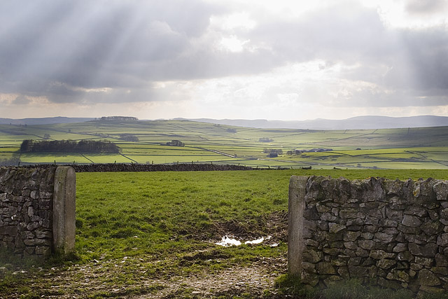 |
More sun bringing out the green fields near Peak Forest the start and finish of the walk. |
Thanks for visiting. |