
|
DORSET - GOLDEN CAP 22nd AUGUST 2006
|
Location - |
Seatown (Dorset) |
Map - |
Lyme Regis & Bridport Chard - 116 |
Route - |
Seatown car park (SY 4206 9180), Golden Cap (191m), Gabriel's Church, Muddyford Lane, Filcombe Farm, Filcombe Wood, Pettycrate Lane, Mill Lane, Seatown. |
Distance - |
4.5 Miles |
Weather - |
Bright and warm. |
| Memory Map overlay - | Yes click here |
Route Map - |
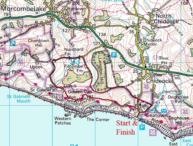 |
Image produced from the Ordnance Survey Get-a-map service. Image reproduced with kind permission of Ordnance Survey and Ordnance Survey of Northern Ireland. |
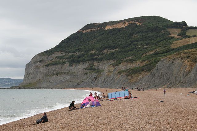 |
Looking up to the top of Golden Cap from Seatown Beach. |
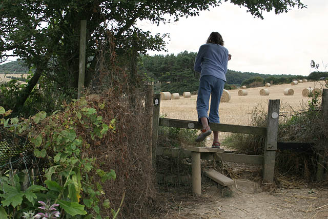 |
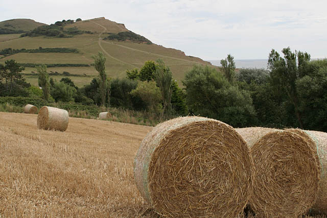
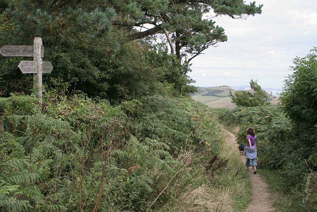
Crossing over into the fields before the slow climb. |
 |
Looking back past Seatown to Doghouse Hill. Another one of my listed walks. |
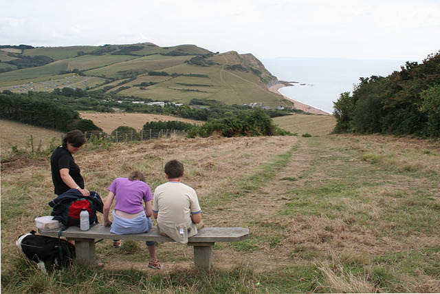 |
A convenient place for a short break to catch our breath, a quick bite to eat and drink before moving on. |
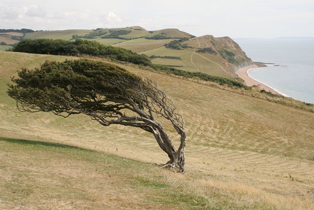 |
Guess which way the wind blows? |
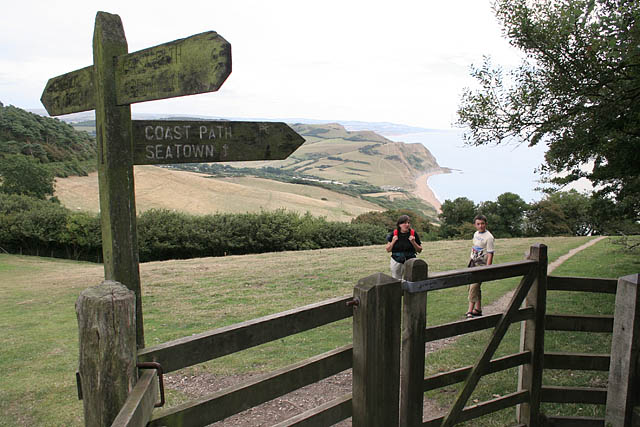 |
Not far from the top now. |
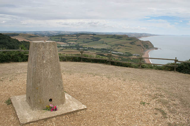 |
The top of Golden Cap, all 191 metres of it. A little further on there was a real sense of the sheer cliff face. |
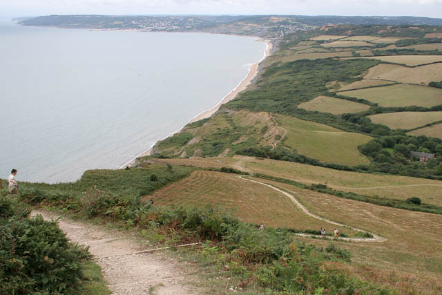 |
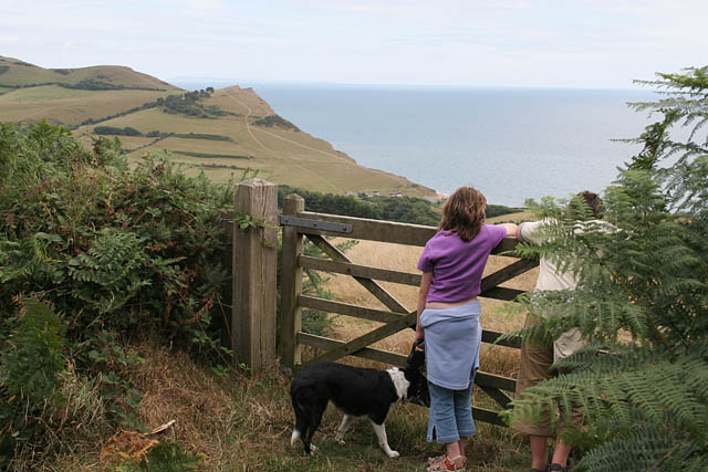
Passing over the summit with Charmouth and Lyme Regis in the distance. |
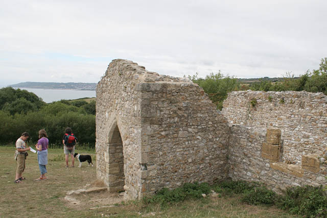 |
The remains of St Gabriel's church . |
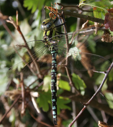 |
A dragonfly resting in the hawthorns. |
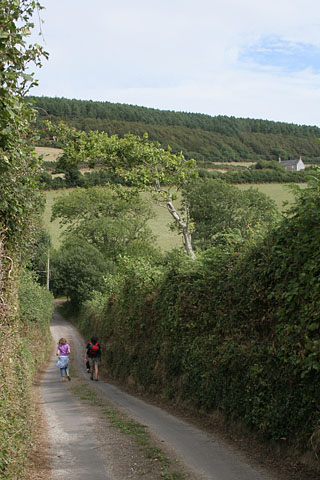 |
Walking down Muddyford Lane whilst picking and eating some very juicy, sweet blackberries. |
 |
Heading back along the coast at the start of Pettycrate Lane at a higher elevation that the outward journey . |
 |
Overlooking Seatown on the last downhill part of the walk. |
Thanks for visiting. |