
|
PEAK DISTRICT - HARTHILL AREA 13th JUNE 2009
|
Location - |
Peak District - Harthill nr Youlgrave |
Map - |
The Peak District White Peak Area - OL24 |
Route - |
Roadside Parking (SK 22870, 61859), Harthill Moor Farm, Youlgrave, Alport, B5056, Parking |
Distance - |
5 Miles |
Weather - |
Sunny and warm |
| Memory Map overlay - | Yes click here |
Route Map - |
 |
Image produced from the Ordnance Survey Get-a-map service. Image reproduced with kind permission of Ordnance Survey and Ordnance Survey of Northern Ireland. |
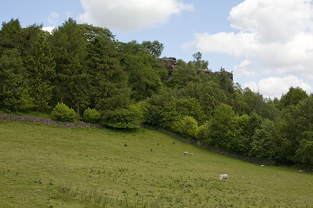 |
Heading up hill from the roadside parking looking across to the rocks marked on the OS map as Hermits Cave. |
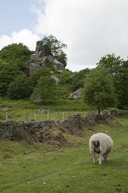 |
A little further on and on the left Robin Hoods Stride, and the back end of a sheep, who..... |
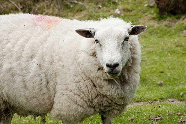 |
Allowed me to take a photo of her. |
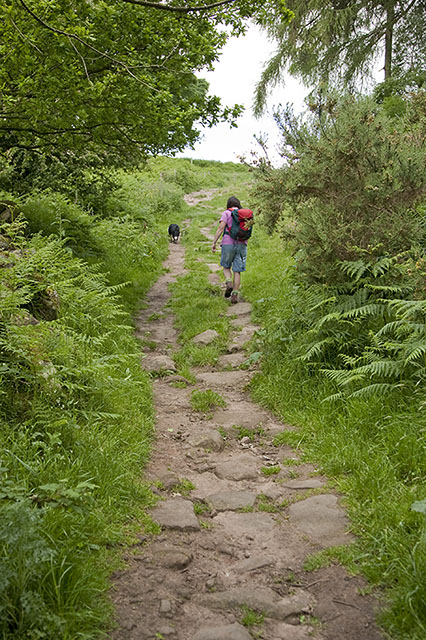 |
Ellen keeping Tess under control. |
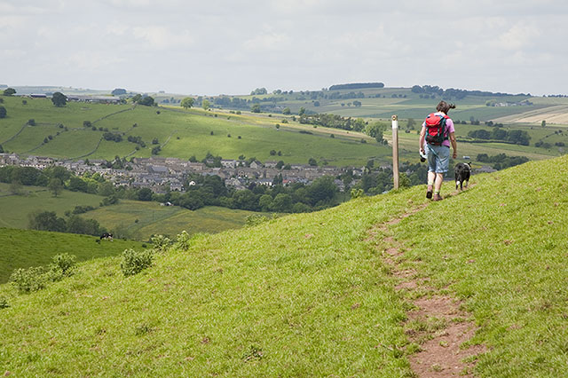 |
Youlgrave comes into view. |
 |
A little further to go to Youlgrave and the path can be clearly seen to the right. |
 |
Bleakley Dike giving Tess a welcome drink. |
 |
Crossing the River Bradford. |
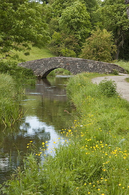 |
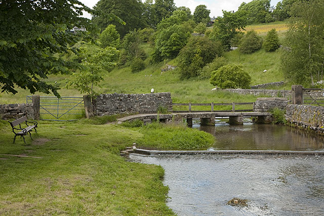
The footbridge further along the River Bradford below Bradford village. |
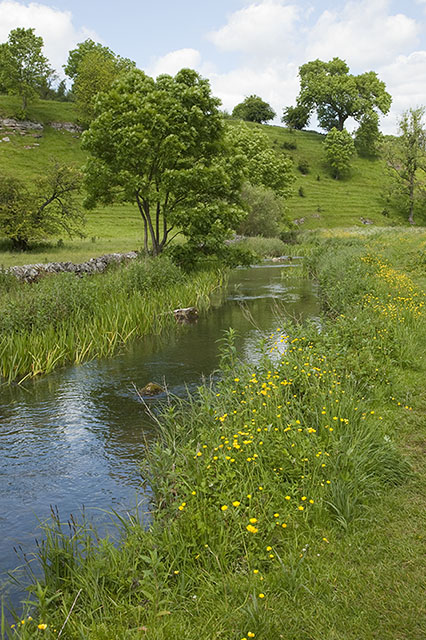 |
Looks like a good spot to stop for lunch. |
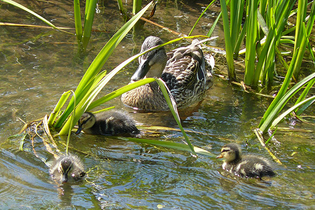 |
Something to watch during our lunch stop. |
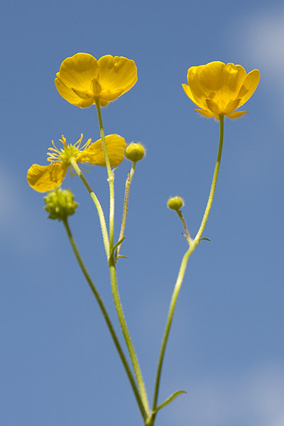 |
And whilst reclining in the warm sunshine a great contrast in colours buttercup against a blue sky. |
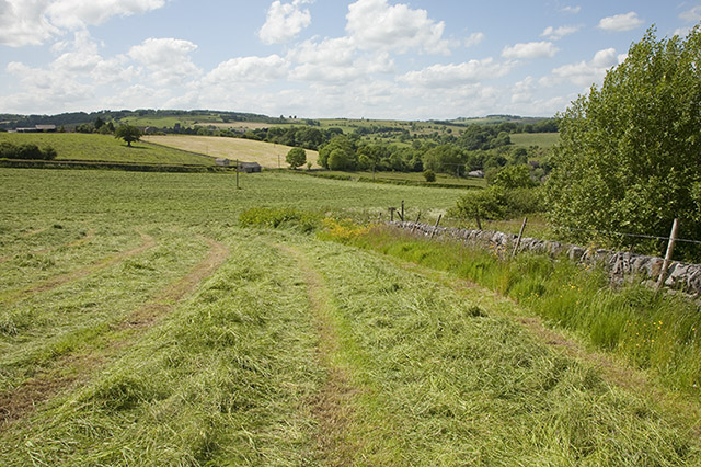 |
Above Alport and freshly cut grass presumably to dry for hay. |
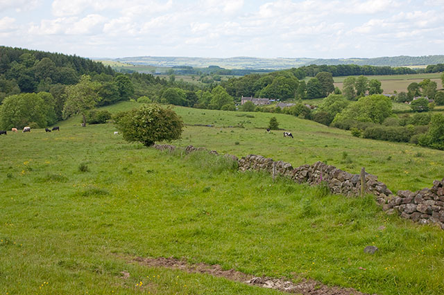 |
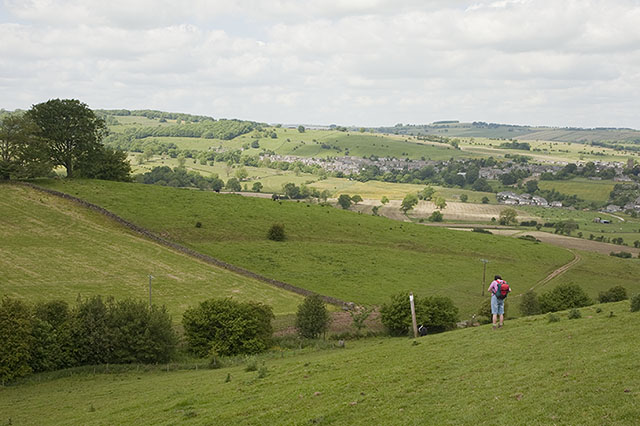
Looking north from the hill to the West of Birchover. |
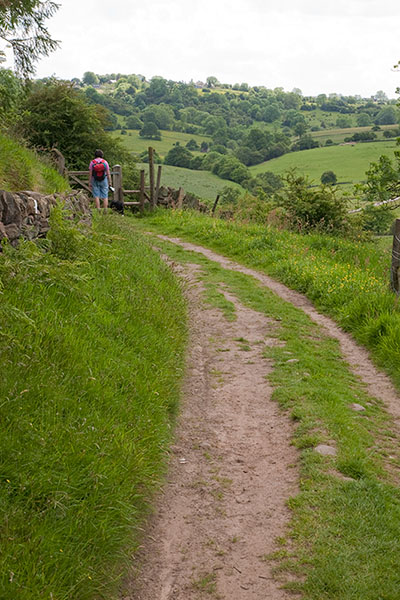 |
The last gate before descending to the car. |
Thanks for visiting. |