
|
LAKE DISTRICT - HELM CRAG 25th OCTOBER 2007
|
Location - |
Lake District - Helm Crag & Calf Crag |
Map - |
The English Lakes South-eastern area - OL7 |
Route - |
Grasmere, Easedale Road, Lancrigg, White Crag, Helm Crag, Gibson Knott, Calf Crag, Far Easedale, Easedale Beck, Easedale Road, Grasmere. |
Distance - |
8 .25 Miles |
Weather - |
Bright although misty |
| Memory Map overlay - | Yes click here |
Route Map - |
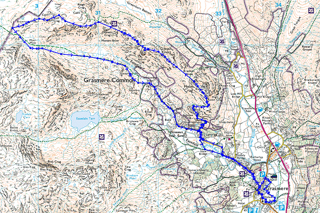 |
Image produced from the Ordnance Survey Get-a-map service. Image reproduced with kind permission of Ordnance Survey and Ordnance Survey of Northern Ireland. |
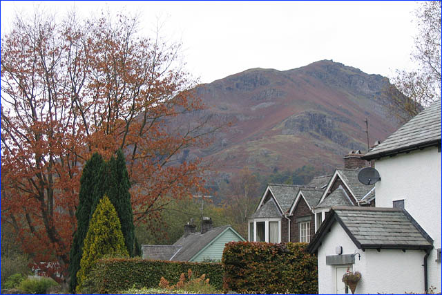 |
Helm Crag viewed from the Easedale Road. |
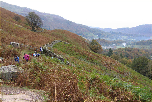 |
Grasmere from below White Crag. |
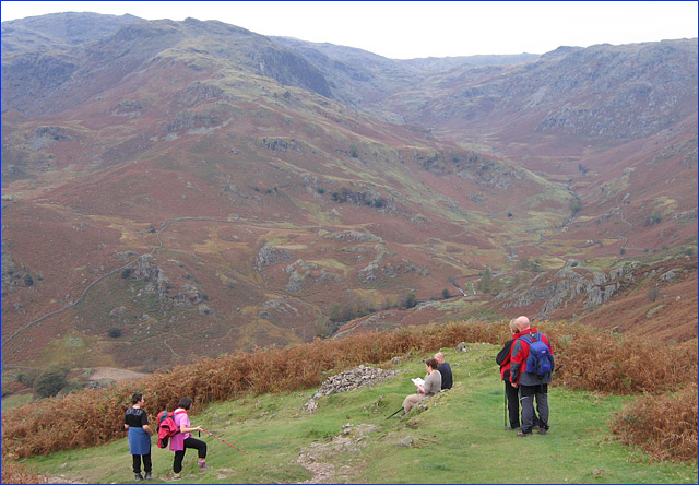 |
Far Easedale with Calf Crag on the right and Tarn Crag on the left . |
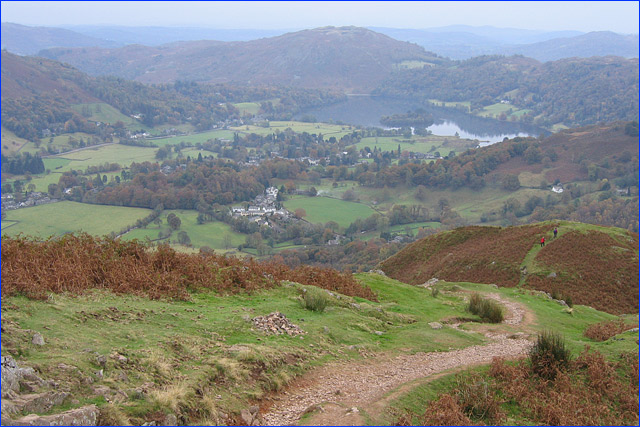 |
Grasmere and Loughrigg Fell become clearer as we climb higher. |
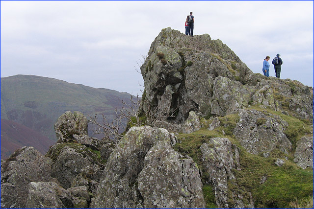 |
Two walkers standing on 'The Lion' with 'The Lamb' the smaller rock on the left. |
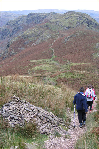 |
Leaving Helm Crag with Gibson Knott ahead. |
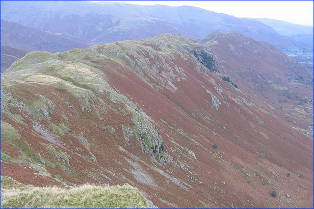 |
Looking back along the ridge with Helm Crag on the right. |
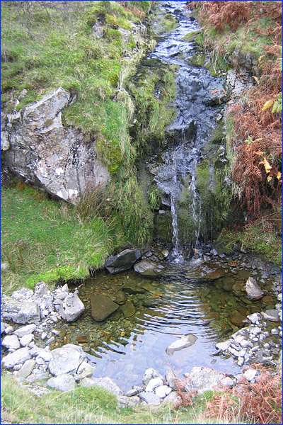 |
One of the many waterfalls in Far Easedale. |
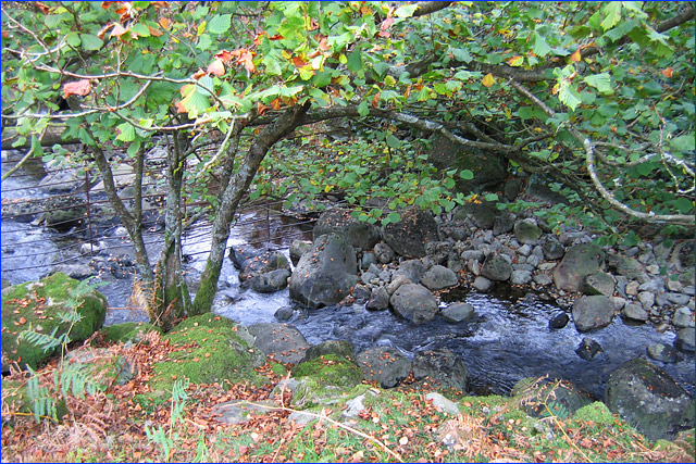 |
Yet another view . |
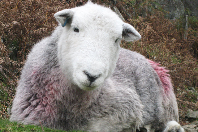 |
A sheep curiously watching the walkers pass by (taken by Charlotte). |
Thanks for visiting. |