
|
PEAK DISTRICT - HIGGER TOR 12th FEBRUARY 2008
|
Location - |
Peak District - Higger Tor & Carl Wark |
Map - |
The Peak District Dark Peak Area - OL1 |
Route - |
Car Park (Upper Burbage Bridge), Burbage Moor, Burbage Bridge, Carl Wark, Higger Tor, Stanage Edge (East), Cowper Stone, Car Park |
Distance - |
5 Miles |
Weather - |
Sunny and surprisingly warm for February |
| Memory Map overlay - | Yes click here |
Route Map - |
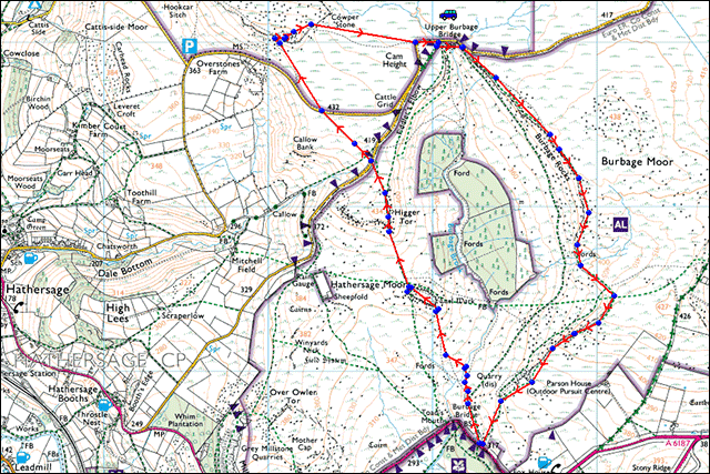 |
Image produced from the Ordnance Survey Get-a-map service. Image reproduced with kind permission of Ordnance Survey and Ordnance Survey of Northern Ireland. |
 |
Using the off road parking on the left of Upper Burbage Bridge my walk was almost starting at the highest point. |
 |
The ground was fairly easy under foot and i only passed two couples on this higher level route. |
 |
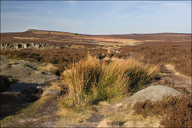
Looking across to the latter part of my walk, Carl Wark on the left and Higger Tor on the right. . |
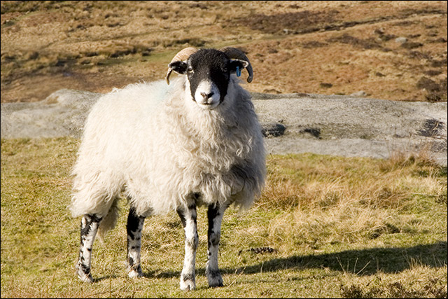 |
Watch out there's always someone watching you. |
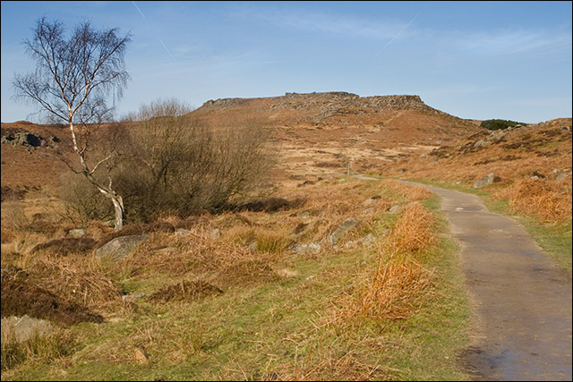 |
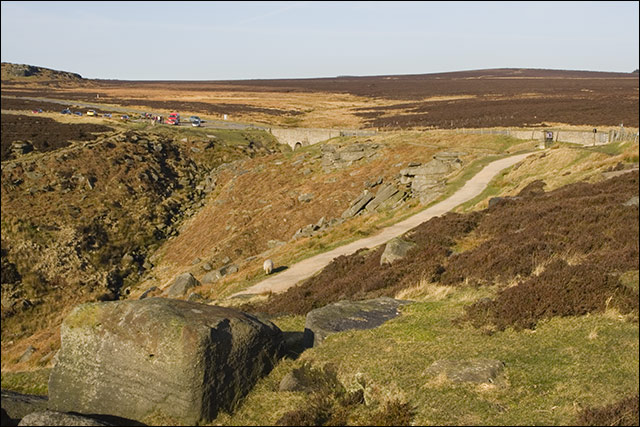
At the end of Burbage Rocks after meeting the A6187 we turn back north and head for Carl Wark and Higger Tor. |
 |
A panorama of nine photographs stitched together showing the vista from the lower path just before I turned left and headed downhill to Burbage Brook (click on the image for a larger version). |
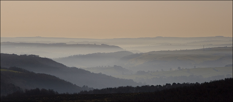 |
Looking back over the misty valleys as I gained height. |
 |
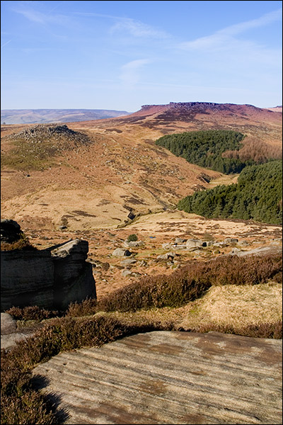
Higger Tor (434m) from Carl wark . |
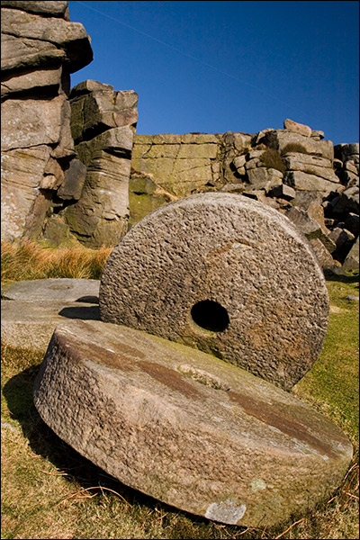 |
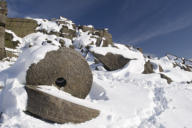
Millstones, this time with no snow (for previous shot with snow click here). |
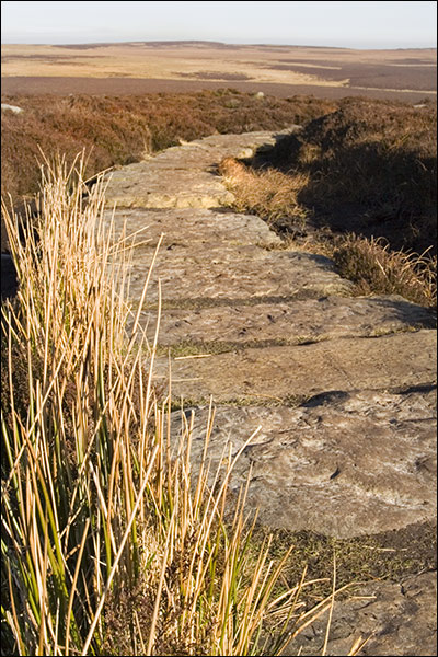 |
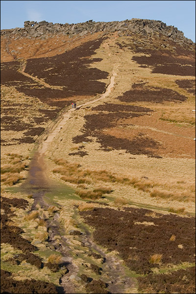
Descending from the Eastern edge of Stanage Edge and onto the erosion control path. |
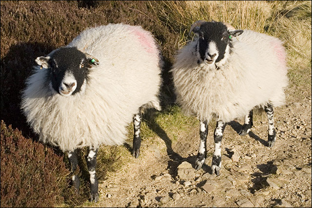 |
Remember there's always someone watching you. |
Thanks for visiting. |