
|
PEAK DISTRICT - KINDER SCOUT FROM HAYFIELD 8th JULY 2005
|
Location - |
Peak District - Kinder Scout |
Map - |
The Peak District (Dark Peak Area) - OL1 |
Route - |
Hatfield Camp Site - Hill Houses - River Kinder - White Brow - William Clough - Mill Hill - Kinder Downfall - Kinder Low - Edale Cross - Oaken Clough - Coldwell Clough - Hayfield Camp Site |
Distance - |
10 Miles |
Weather - |
Bright with some sun |
| Memory Map overlay - | Yes click here |
Route Map - |
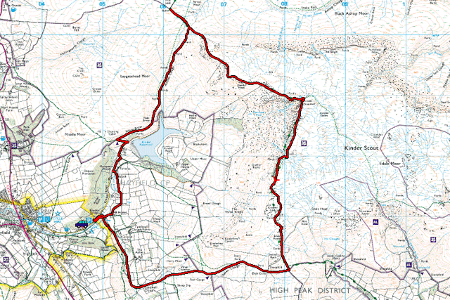 |
Image produced from the Ordnance Survey Get-a-map service. Image reproduced with kind permission of Ordnance Survey and Ordnance Survey of Northern Ireland. |
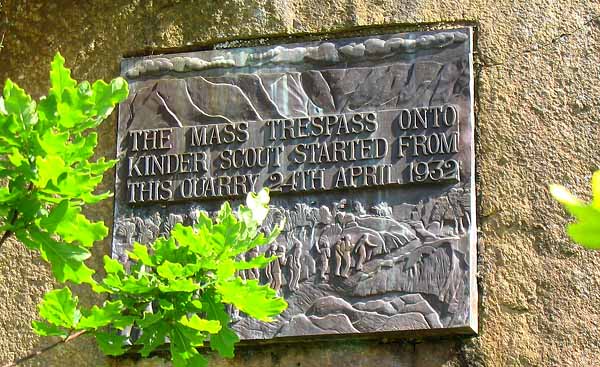 |
The start of the walk at the Hayfield car park. This plaque marking the spot where Benny Rothman led hundreds of walkers onto the Kinder plateau. The Kinder Trespass as it became known marked the start of the access debate that continues to this day. All I can say is that without Benny I would not be enjoying some of the fantastic parts of the countryside that I, and countless others presently do. |
 |
As I said I did encounter at close quarters more animals and wildlife on this walk than many others. |
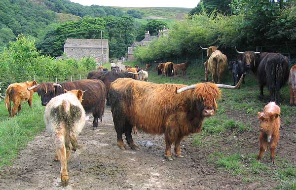 |
Some animals I probably could live with avoiding, however the early part of my walk passed down this lane and through the gates at the end. I just made sure that I didn't pass between mother and calf. |
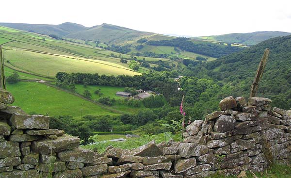 |
Gaining height now and looking back from White Brow down the valley to the early part of the walk. |
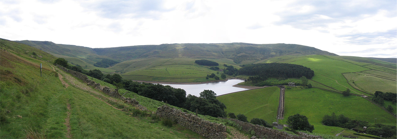 |
Ahead my intended destination Kinder Scout. The walk heading left around the headland and gaining the edges of Kinder, following them all the way round to the extreme right of this picture before heading down. (Click on the photo for a larger image) |
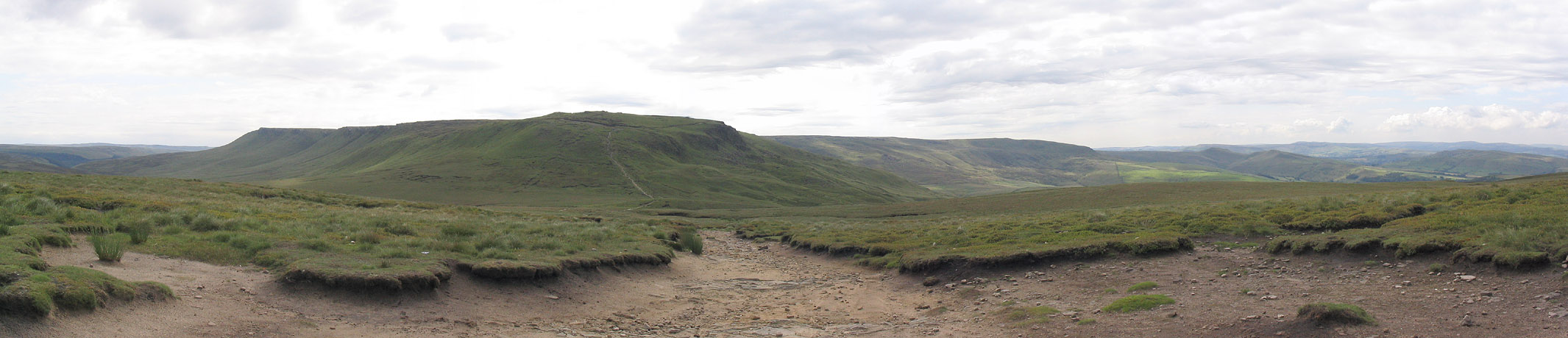 |
Whilst not part of the circular walk I took a detour over to Mill Hill. The view here is looking back to Kinder Scout and you can just make out the track leading up the facing edge.(Click on the photo for a larger image). |
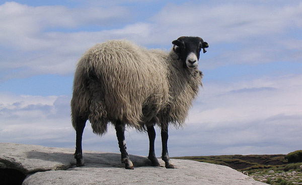 |
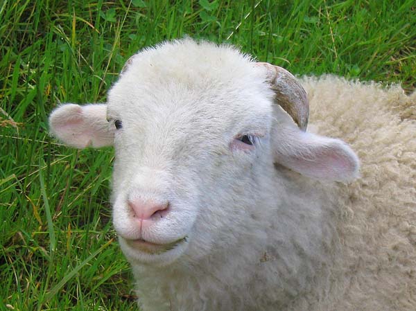
At Kinder Downfall a brief rest for something to eat. Being a popular place to stop, the sheep know where to gather just in case any food is going spare. |
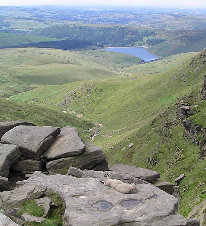 |
Just passing over the Downfall, two lambs rest on the rocks overlooking Kinder Reservoir. |
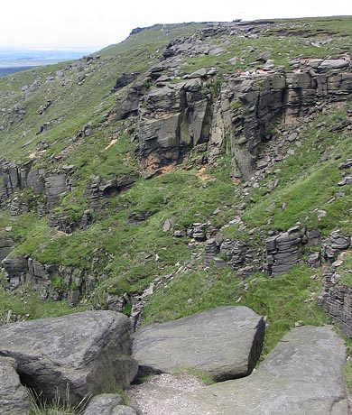 |
Walkers on the other side of the Downfall (just visible on top of the rocky outcrop) really give this a sense of scale. |
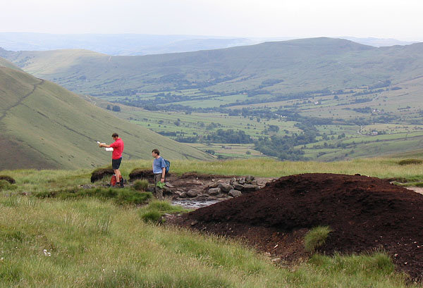 |
Heading down from Kinder Low and overlooking the Edale Valley. Certainly different from my walk in this area in March, where snow still covered the hills. |
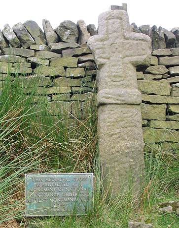 |
And this is Edale Cross, from here it was downhill all the way. |
Thanks for visiting. |