
|
PEAK DISTRICT - KINDER SCOUT & SNAKE PASS 12th MAY 2006
|
Location - |
Peak District - Kinder Scout |
Map - |
The Peak District Dark Peak Area - OL1 |
Route - |
Bowden Bridge Car Park (04857 86929), Kinder Reservoir, ridge to Kinder Scout, Summit trig point, The Edge, Fair Brook, Woodlands Valley, Lady Clough Wood, Ashop Clough, Ashop Head, William Clough, Kinder Reservoir, Bowden Bridge Car Park |
Distance - |
13 Miles |
Weather - |
Sunny to start with cloud building giving thundery rain in the afternoon |
Memory Map overlay - |
Yes click here |
Route Map - |
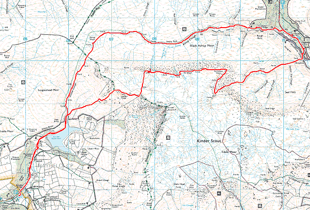 |
Image produced from the Ordnance Survey Get-a-map service. Image reproduced with kind permission of Ordnance Survey and Ordnance Survey of Northern Ireland. |
 |
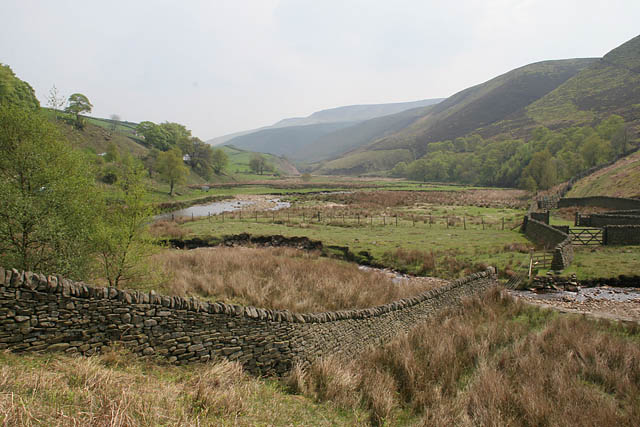
The River Kinder as it leaves Kinder Reservoir. |
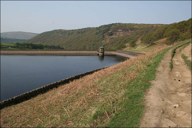 |
Looking over Kinder Reservoir towards Hayfield. I camped at the campsite just outside Hayfield. |
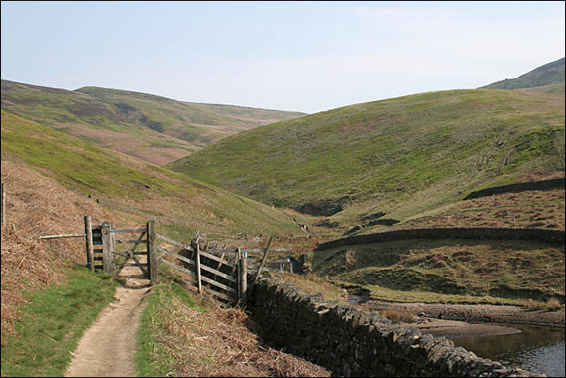 |
Looking up William Clough from Kinder Reservoir the return route of my walk. The path just visible climbing to the right was the start of my ascent of Kinder Scout. |
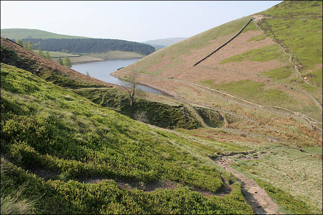 |
Looking back down to Kinder Reservoir and time to catch my breath. I really must try to get fit and loose a few pounds. |
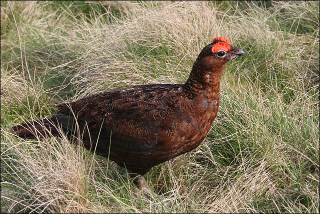 |
Another rest and a stern warning from a Red Grouse as I was probably too close to a nest. |
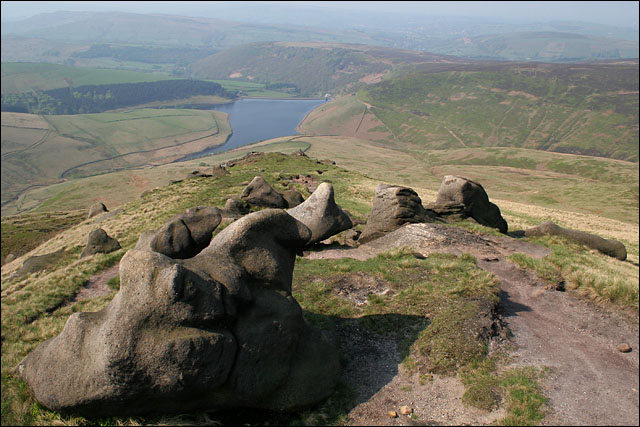 |
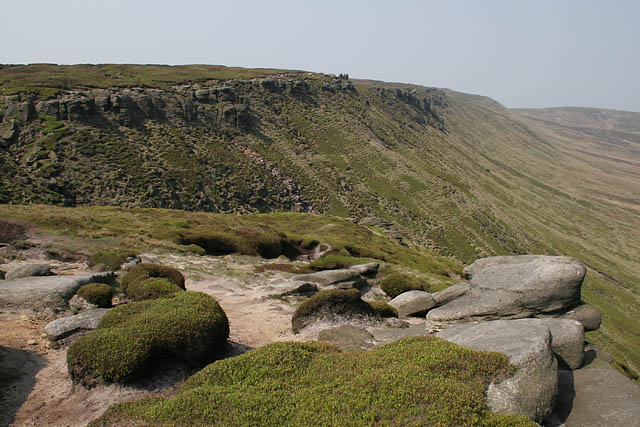
Finally nearing the edge of Kinder Scout. These rock formations typical of the gritstone formations found on the edges of Derbyshire. |
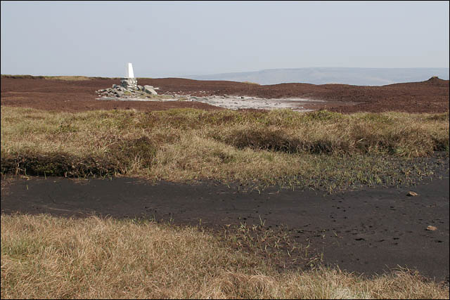 |
The summit cairn of Kinder Scout Kinder Scout has very few features to aid navigation. Predominantly peat on a bed of rock, in places the peat has been washed away leaving deep cuts in the ground called 'Peat Groughs'. |
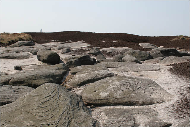 |
Looking back to the summit cairn showing the stark contrast between the gritstone and the peat. |
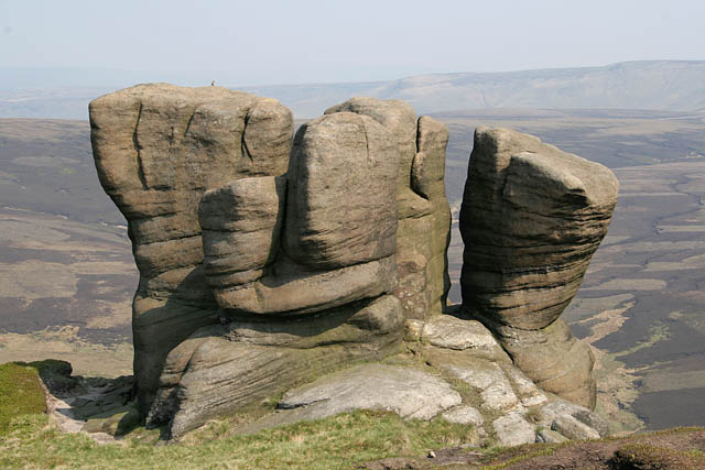 |
More rock formations, this time on the northern side of Kinder Scout. Ashop Clough sitting in the valley below and my return route. |
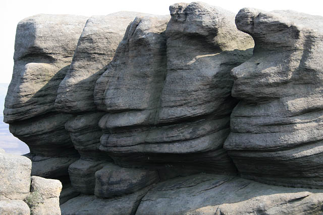 |
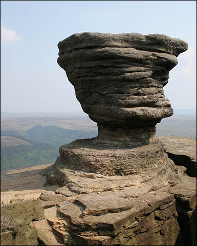
Some rock formations seem to have characters of their own. Do you see faces in this formation?. |
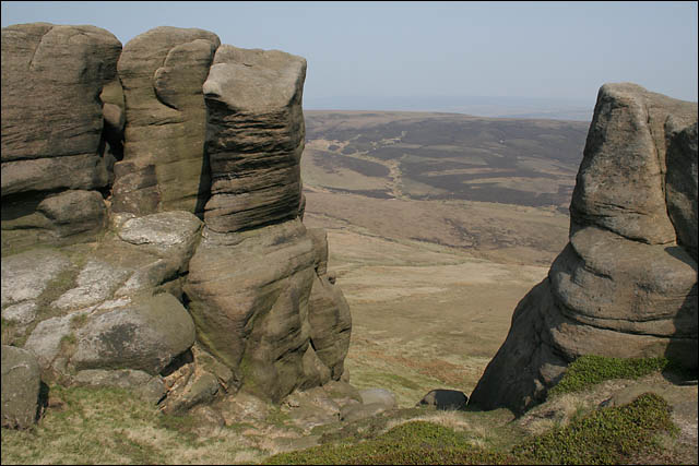 |
Looking through the rocks over Ashop Clough and to the ridge and route of the Pennine Way. |
 |
Part of the northern ridge of Kinder Scout. |
 |
I know what you are thinking to yourself, how long? |
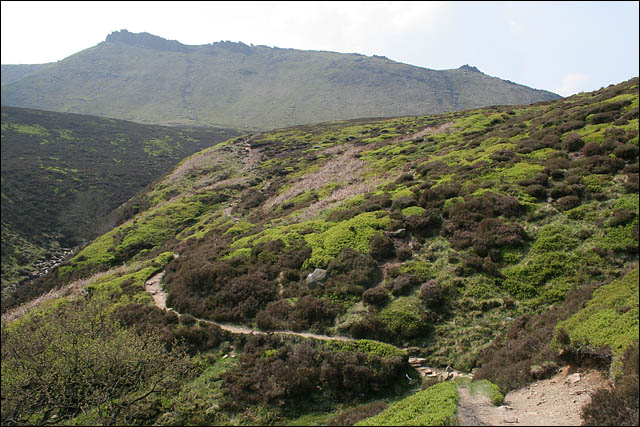 |
Looking back up to Kinder Scout from Fair Brook. |
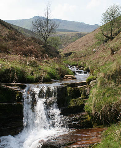 |
Although there was very little water draining from the top there was sufficient water at lower levels for many waterfalls in Fair Brook. |
 |
Looking down Woodlands Valley. |
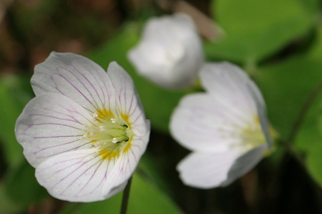 |
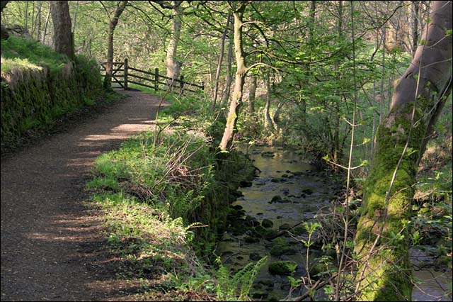
Wood Sorrel in Lady Clough Wood. |
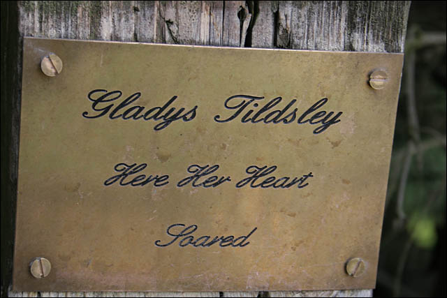 |
I don't know who she was but when on the hills I share the sentiment. |
Thanks for visiting. |