
|
PEAK DISTRICT - KINDER SCOUT 20th FEBRUARY 2006
|
Location - |
Peak District - Kinder Scout from Edale |
Map - |
The Peak District Dark Peak Area - OL1 |
Route - |
Edale Car Park (12405 85334), Edale Village, The Nab, Ringing Roger, Nether Tor, Upper Tor, Grindslow Knoll, Grindsbrook Booth, Edale Village, Edale Car Park. |
Distance - |
5.5 Miles |
Weather - |
Cloudy |
| Memory Map overlay - | Yes click here |
Route Map - |
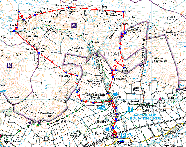 |
Image produced from the Ordnance Survey Get-a-map service. Image reproduced with kind permission of Ordnance Survey and Ordnance Survey of Northern Ireland. |
 |
Kinder Scout above the village of Edale. This is the official start of the Pennine Way a 268 mile journey to Kirk Yetholm in the north of England. |
 |
Here we leave the Grindsbrook path and head up to The Nab. |
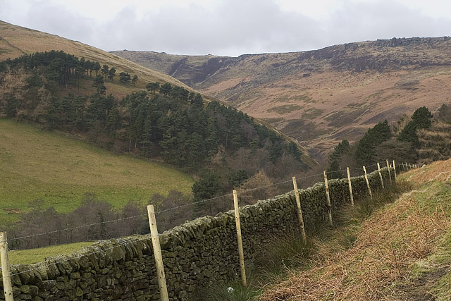 |
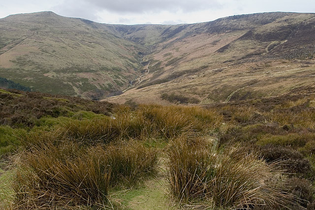
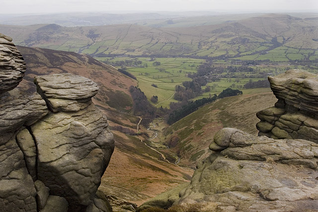
Looking down Grindsbrook Clough, an alternative route on to Kinder Scout, although it is a little rocky at the end. |
 |
The view south west from The Nab. |
 |
Nearing the rocky outcrop of Ringing Roger looking up Grindsbrook Clough. |
 |
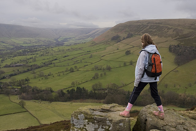
The vale of Edale from the rocks of Ringing Roger. |
 |
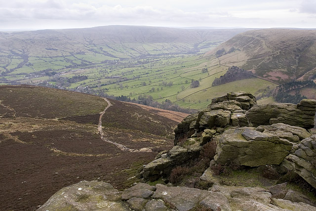
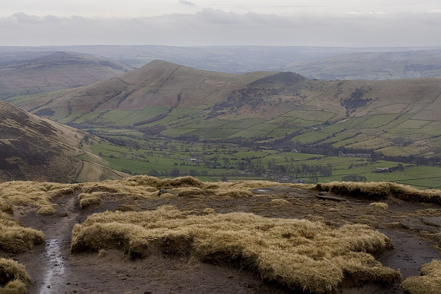
From the southern edge of Kinder looking down Grindsbrook with the the Castleton ridge of Back Tor, Barker Bank and Mam Tor from left to right on the other side of the valley. |
 |
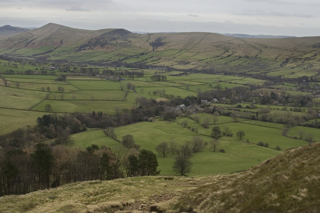
Loose Hill and Back Tor clearly visible from the summit of Grindslow Knoll (601m). |
 |
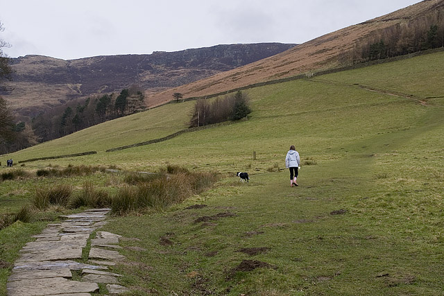
Descending to Edale from the lower slopes of Grindslow Knoll. |
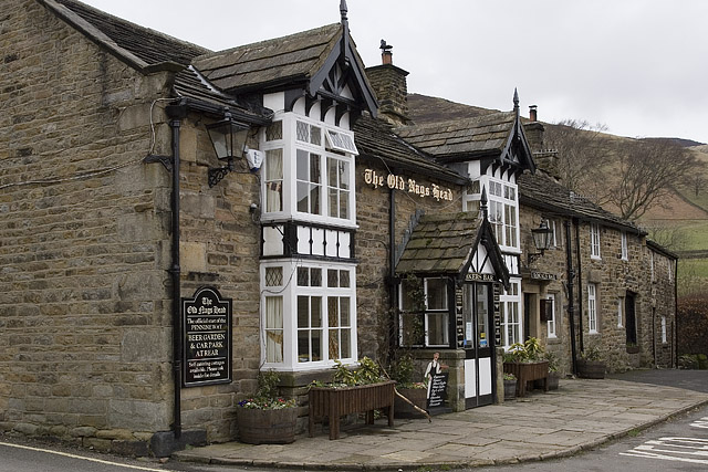 |
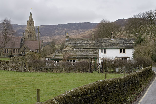
The Old Nags Head in Edale. |
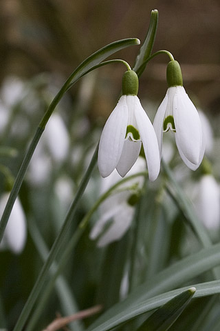 |
Snowdrops adding a little colour to gardens through the village. |
Thanks for visiting. |