
|
YORKSHIRE DALES - MALHAM COVE & GOREDALE SCAR 8th July 2006
|
Location - |
Yorkshire Dales - Malham |
Map - |
Yorkshire Dales Southern & Western areas - OL2 |
Route - |
National Park Centre Car Park Malham, Malham Village, Town Head, Malham Cove, Sheriff Hill, Goredale Bridge, Goredale Scar, Janet's Foss, Wedber Wood, National Park Centre Car Park Malham |
Distance - |
5 Miles |
Weather - |
Mainly cloudy with some brighter spells. |
| Memory Map overlay - | Yes click here |
Route Map - |
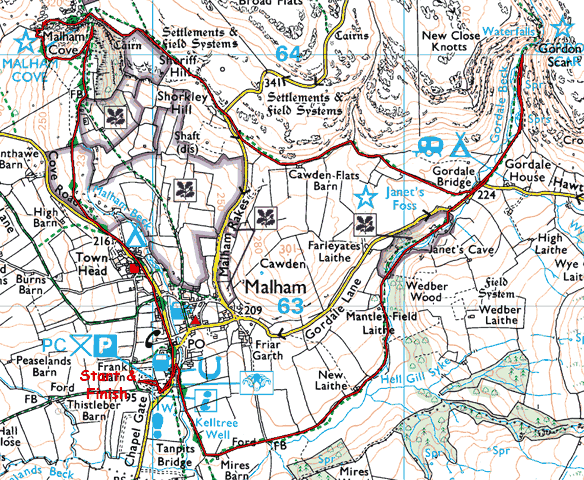 |
Image produced from the Ordnance Survey Get-a-map service. Image reproduced with kind permission of Ordnance Survey and Ordnance Survey of Northern Ireland. |
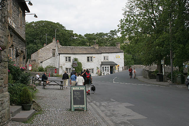 |
Malham village. |
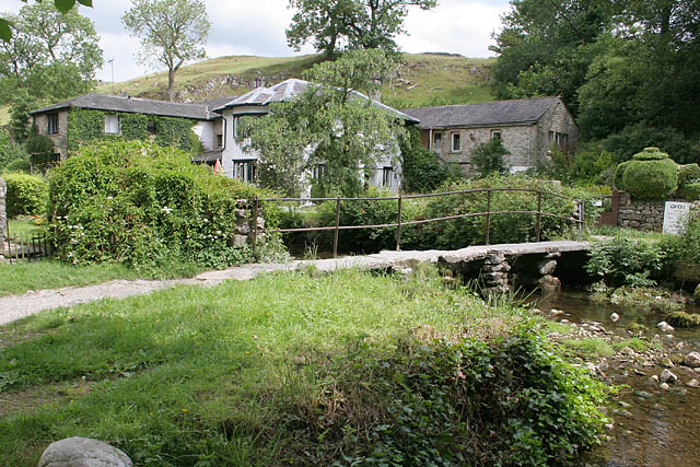 |
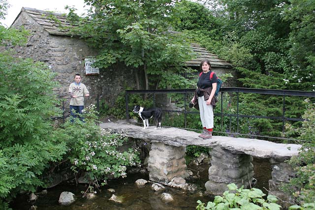
A clapper bridge in Malham. . |
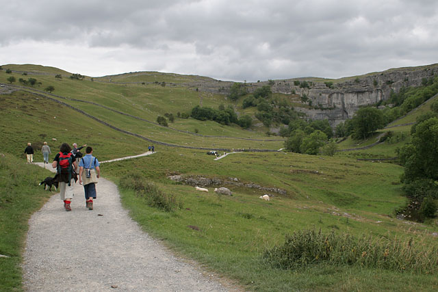 |
The very well used and popular footpath from Malham to Malham Cove. |
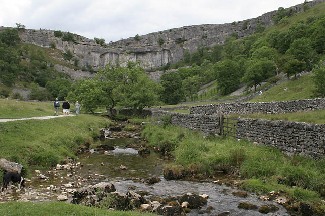 |
Malham Beck, emanating from the bottom of Malham Cove. |
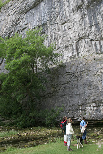 |
Up close to Malham Cove with Malham Beck emerging from below. |
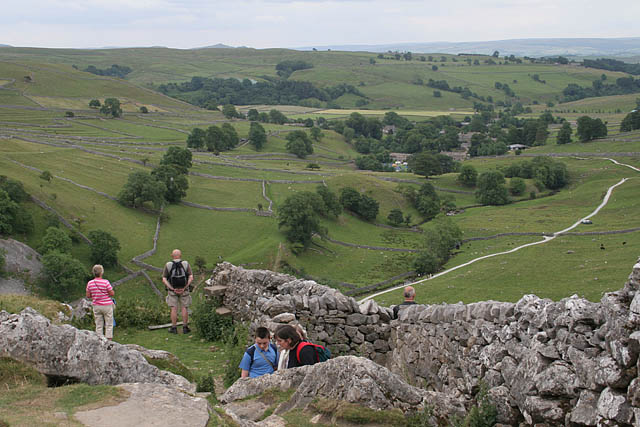 |
Above Malham Cove looking back to Malham Village. |
 |
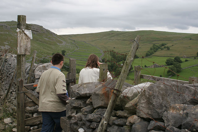
The limestone walls above Malham Cove and our route to Goredale Scar. |
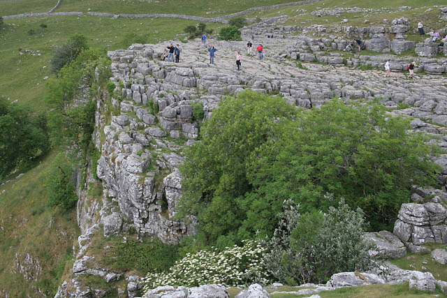 |
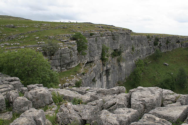
The limestone pavements above Malham Cove. |
 |
Dropping down to Goredale Bridge. |
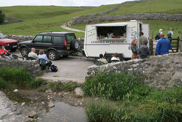 |
Goredale Bridge and a very pleasant tea stop. |
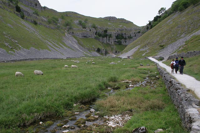 |
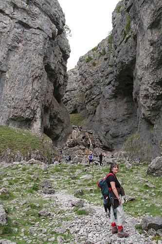
The footpath into Goredale Scar. |
 |
The Waterfall in Goredale Scar. |
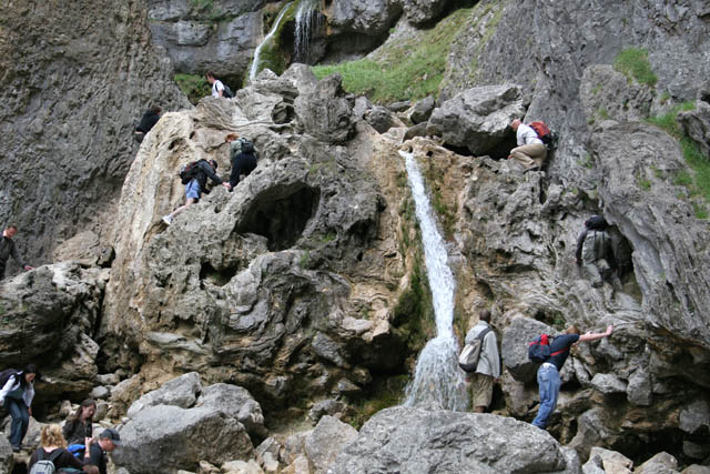 |
A close up of the waterfall. A footpath follows the water upstream. |
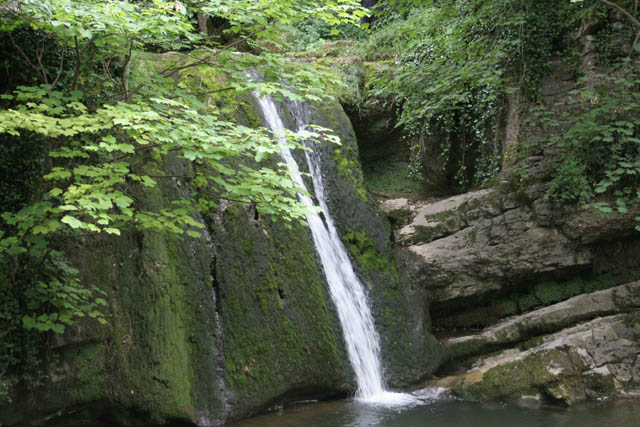 |
Janet's Foss on our return to Malham. |
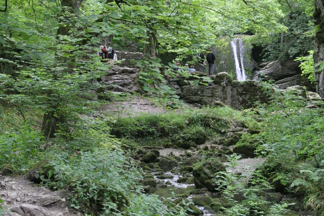 |
Looking back to Janet's Foss from the footpath in Wedber Wood. |
 |
Crossing another clapper bridge in Malham and back to the car. |
Thanks for visiting. |