
|
DEVON - MORTEHOE 24th AUGUST 2008
|
Location - |
Devon - Bull Point & Mortehoe |
Map - |
Bideford, Illfracombe & Barnstable - 139 |
Route - |
Damage Barton, Hillymouth, Lee, Bull Point, North Morte, Yarde Farm, Damage Barton |
Distance - |
4.75 Miles |
Weather - |
Sunny Intervals |
| Memory Map overlay - | Yes click here |
Route Map - |
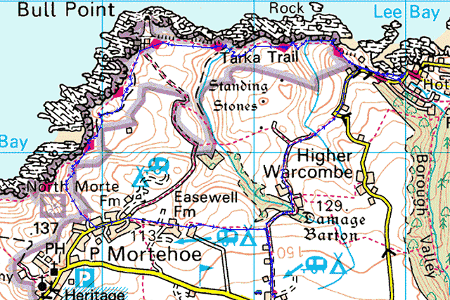 |
Image produced from the Ordnance Survey Get-a-map service. Image reproduced with kind permission of Ordnance Survey and Ordnance Survey of Northern Ireland. |
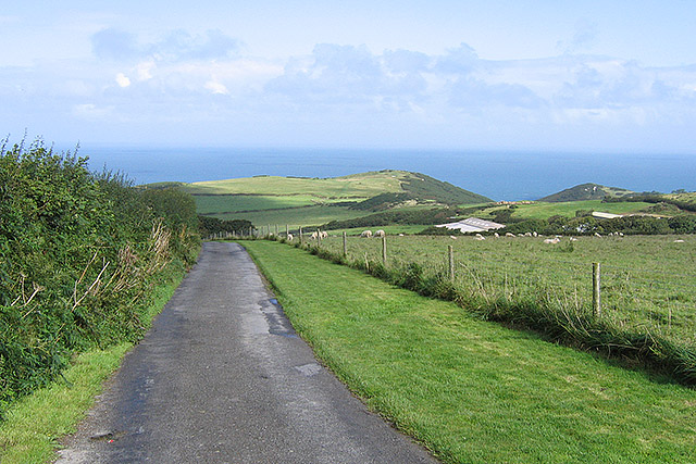 |
Passing the Caravan and Camping Club site following the farm road to Damage Barton. |
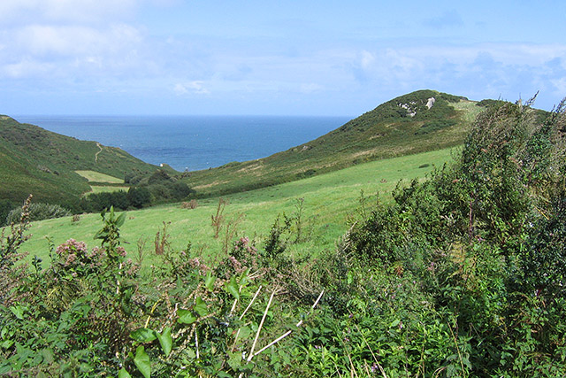 |
Looking across to Lee Bay. |
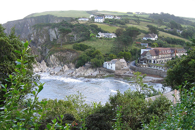 |
Overlooking the small village of Lee. |
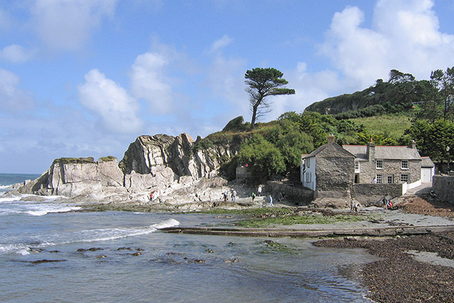 |
Rocky outcrops at Lee. |
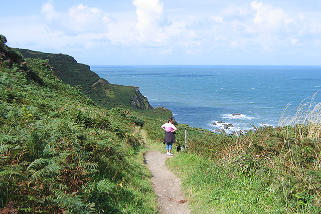 |
The South West Coastal Path on a lovely day. |
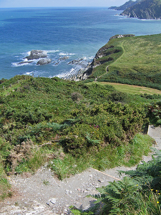 |
You can clearly make out the coastal path, Lee Bay just disappearing out of view. |
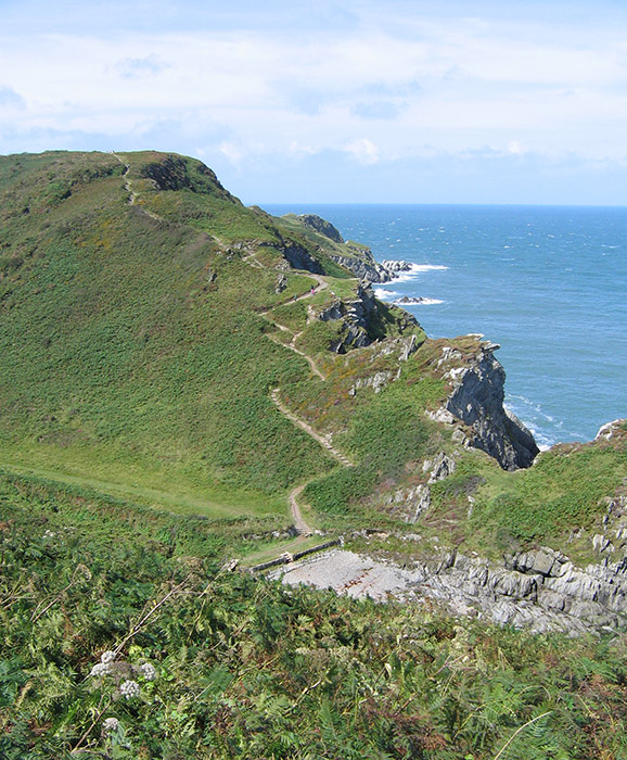 |
Coastal paths round this part are certainly not flat.. |
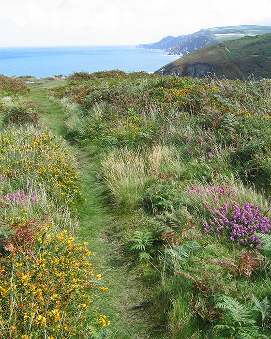 |
Heather and broom providing plenty of colour. |
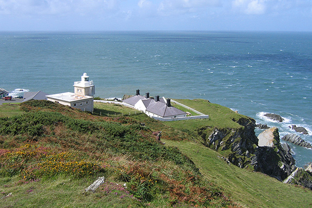 |
Bull Point lighthouse. . |
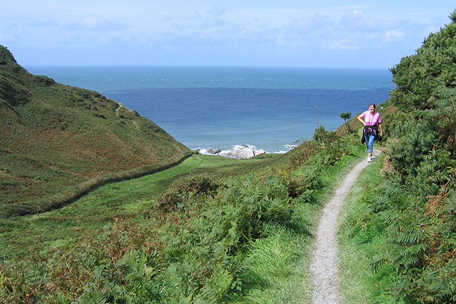 |
The footpath turing inland towards Mortehoe. |
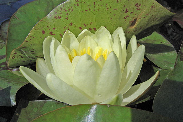 |
Just spotted this lilly in a water trough. |
Thanks for visiting. |