
|
DORSET - SEATOWN TO EYPE'S MOUTH 25th AUGUST 2006
|
Location - |
Seatown (Dorset) |
Map - |
Lyme Regis & Bridport Chard - 116 |
Route - |
Seatown car park (SY 4206 9180), Ridge Cliff, Doghouse Hill, Thorncombe Beacon, Eype's Mouth, Down House Farm, Doghouse Hill, Seatown Car Park. |
Distance - |
4.5 Miles |
Weather - |
Bright with some sunny intervals. |
| Memory Map overlay - | Yes click here |
Route Map - |
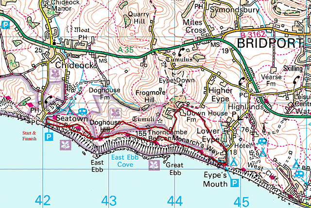 |
Image produced from the Ordnance Survey Get-a-map service. Image reproduced with kind permission of Ordnance Survey and Ordnance Survey of Northern Ireland. |
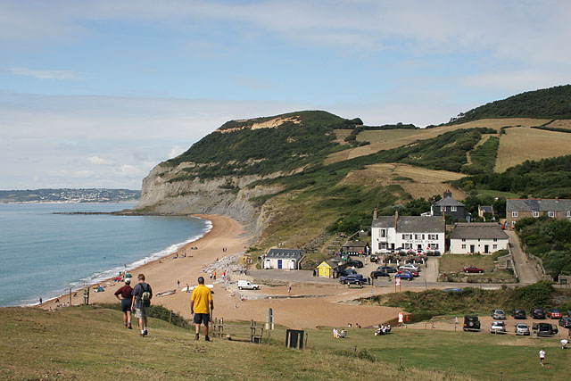 |
Looking back to Seatown from the approach to Ridge Cliff. |
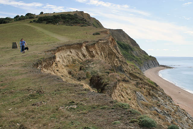 |
Looking up Ridge Cliff to Doghouse Hill. |
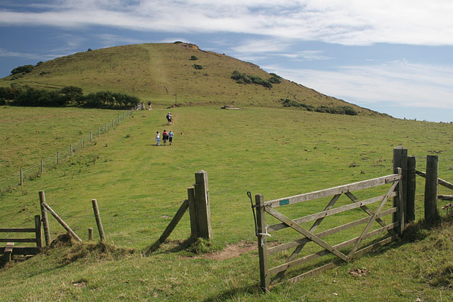 |
The top of Doghouse Hill. |
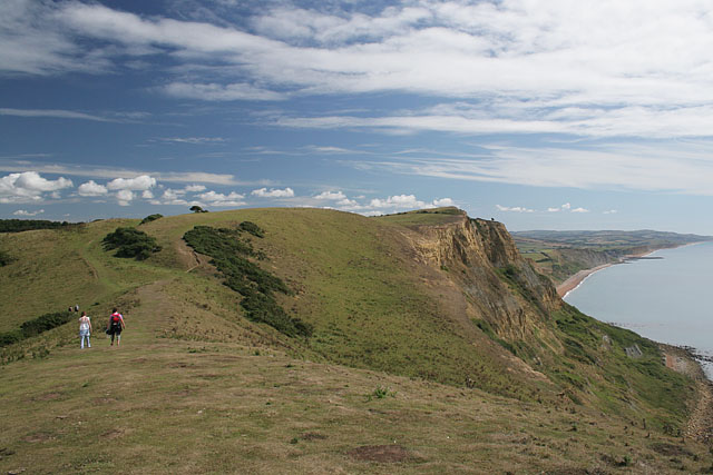 |
Along the ridge to Thorncombe Beacon. |
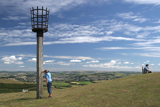 |
Thorncombe Beacon. |
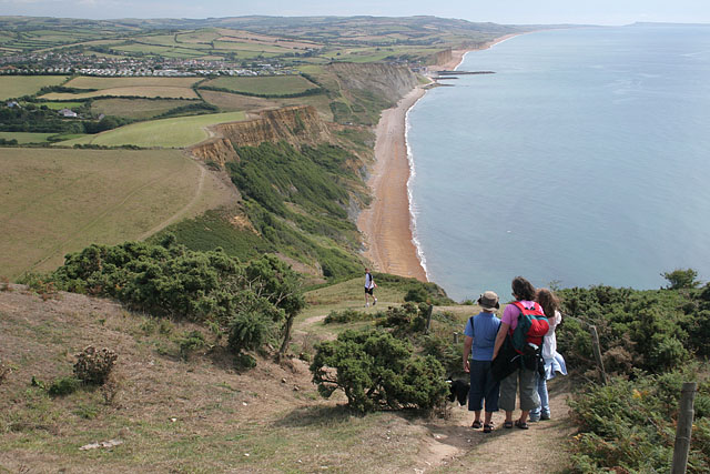 |
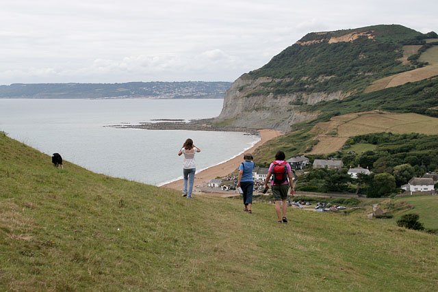
Descending Thorncombe Beacon to Eype's Mouth (the first break in the cliffs ahead). |
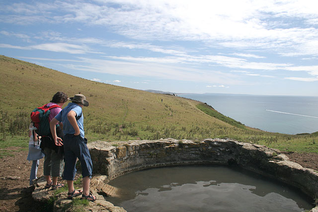 |
A spot to let Tess have a drink,well that was the idea. How does the old saying go, you can take a horse to the water, but you can't make him drink. |
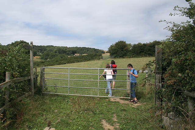 |
Turning inland near Lower Eype towards Down House Farm . |
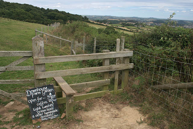 |
It was just to busy to take advantage of what they had to offer . |
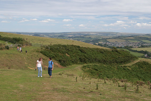 |
Climbing to the back of Thorncombe Beacon . |
 |
The last bit descending to Seatown. |
Thanks for visiting. |