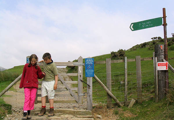
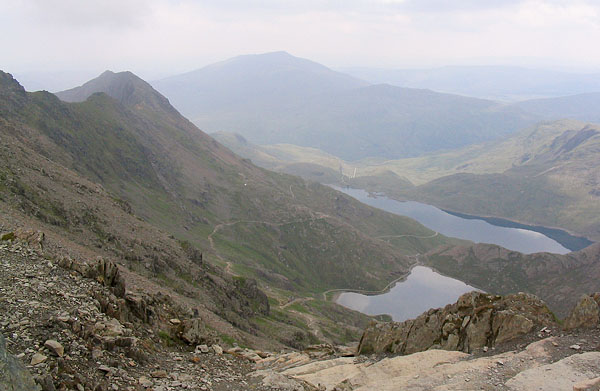
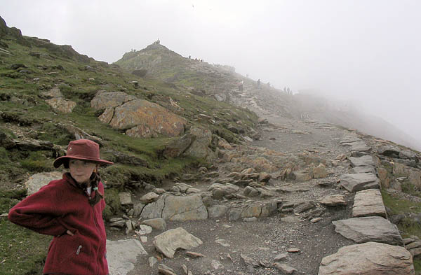
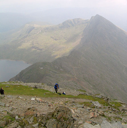
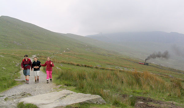
| Location- | Snowdon Llanberis Path (Snowdonia) |
| Map- | Snowdon/ Yr Wyddfa, OL17 |
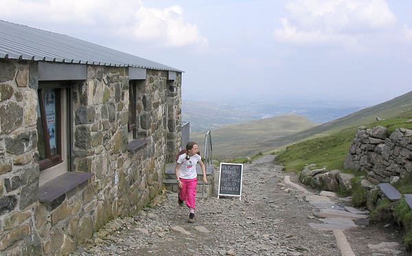
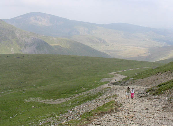
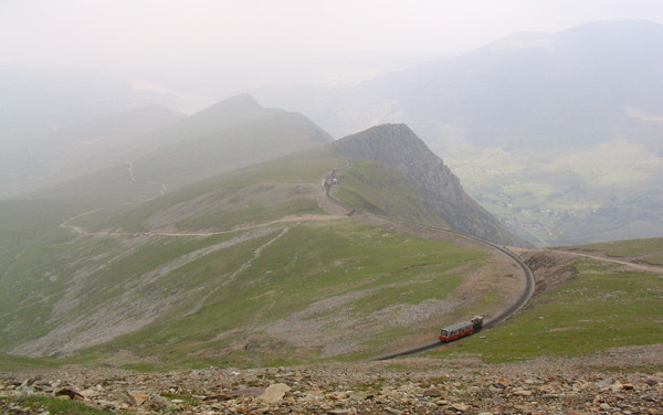
| Route- | Llanberis- Halfway House- Summit- Halfway House- Llanberis |
| Distance- | 9.25 miles |
| Weather- | Bright start with some sun heading into cloud near the summit |
| Location Map- | Yes |
| Memory Map- | Yes |
 |
 |
 |
 |
 |
 |
 |
 |