
|
PEAK DISTRICT - STANAGE EDGE & HIGGER TOR FROM HATHERSAGE - 29th December 2008
|
Location - |
Peak District - Stanage Edge & Higger Tor |
Map - |
The Peak District Dark Peak Area - OL1 |
Route - |
Hathersage, Toothill Farm, Mitchell End, Hathersage Moor, Higger Tor, Upper Burbage Bridge, Cowper Stone, Stanage Edge, North Lees, Baulk Lane, Hathersage |
Distance - |
7 Miles |
Weather - |
Very cold, overcast& misty. Although the forecast was for sunny intervals later, the day remained very cold and misty :-( |
| Memory Map overlay - | Yes click here |
Route Map - |
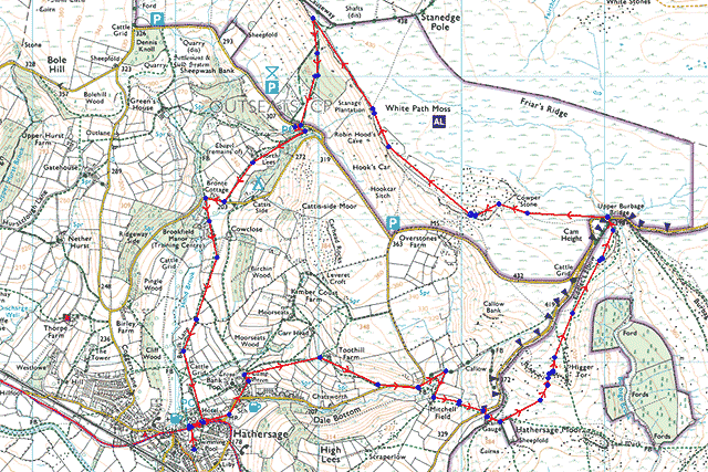 |
Image produced from the Ordnance Survey Get-a-map service. Image reproduced with kind permission of Ordnance Survey and Ordnance Survey of Northern Ireland. |
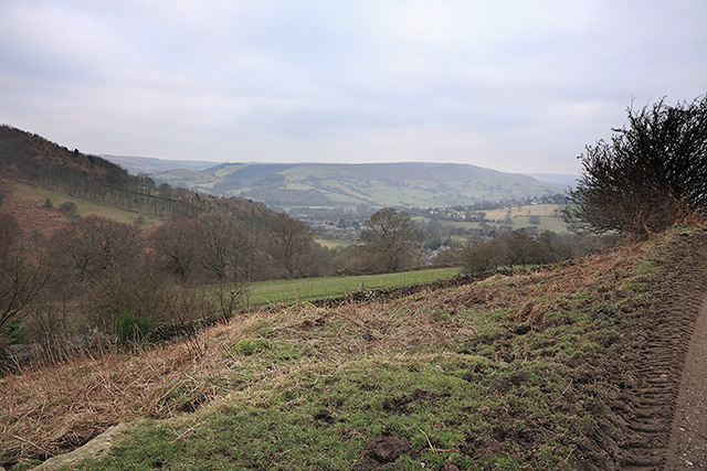 |
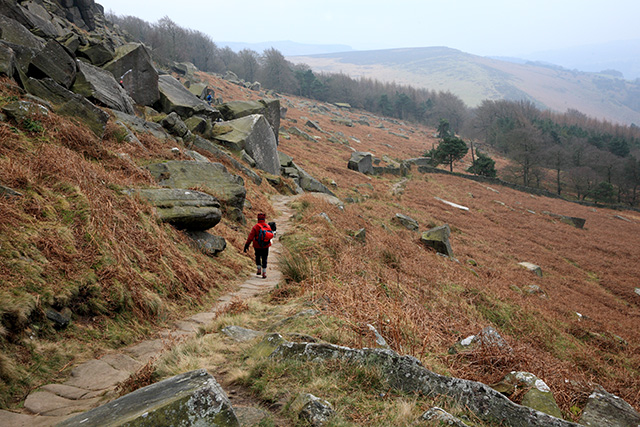
On a very cold winters day looking back towards Hathersage. |
 |
Higger Tor (434m) on the right with Callow Bank on the left all falling within open access land. |
 |
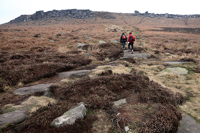
Higger Tor as we entered Hathersage Moor. |
 |
Higger Tor from the central path. |
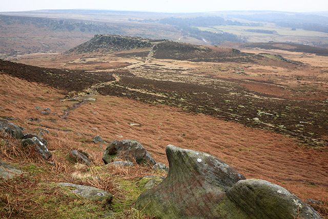 |
Carl Wark from Higger Tor. |
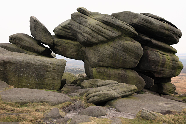 |
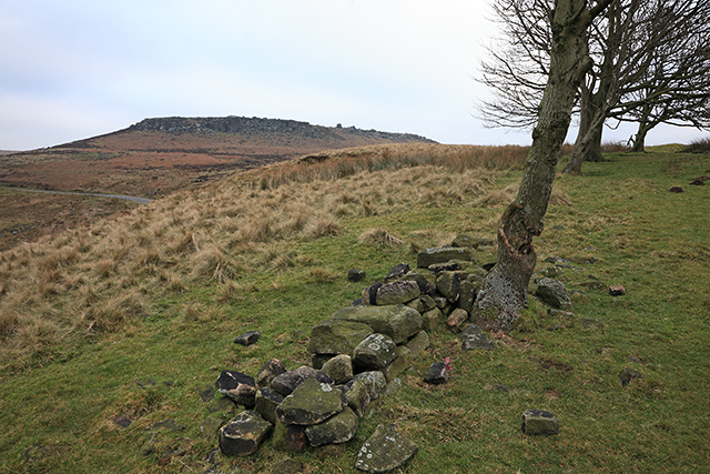
Typical grit stone formations in the Peak District. |
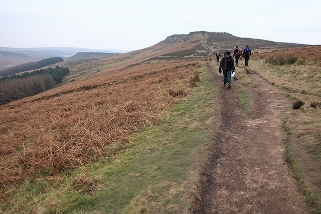 |
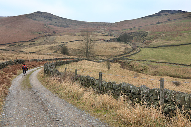
Higger Tor from the path to Upper Burbage Bridge. This was particularly cold as the breeze picked up. |
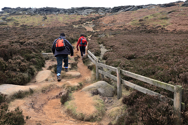 |
Ascending the south eastern end of Stanage Edge near Cowper Stone . |
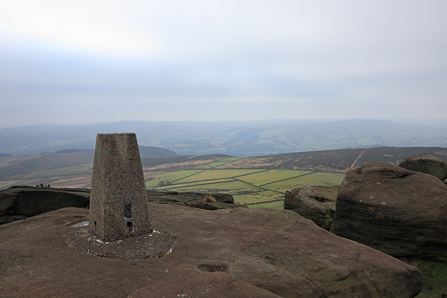 |
The bleak trig point at 457m at the south eastern end of Stanage Edge. |
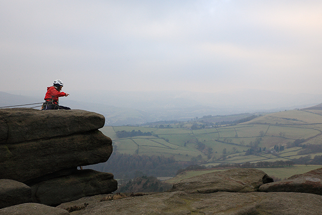 |
A solo climber in this popular climbing area. |
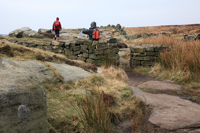 |
Approaching Long Causeway on Stanage Edge soon to leave the ridge in a southerly direction. |
 |
Heading down towards Stanage Plantation and out of the bitterly cold wind. |
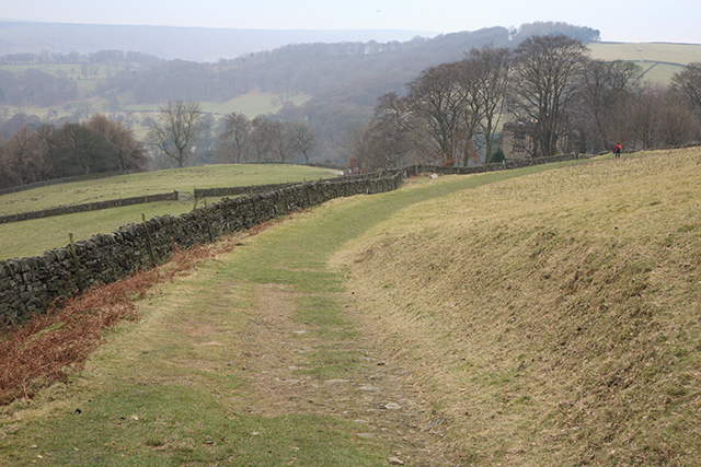 |
Grassy path above North Lees. |
Thanks for visiting. |