
|
PEAK DISTRICT - STANAGE EDGE 11th DECEMBER 2006
|
Location - |
Peak District - Stanage Edge |
Map - |
The Peak District Dark Peak Area - OL1 |
Route - |
Free parking at Dennis Knoll(12385, 83239), , Green's House, Hooks Car, Stanedge Pole, Stanage Edge, High Nab, Crow Chin, Dennis Knoll |
Distance - |
6 Miles |
Weather - |
Sunny with a very strong wind. |
| Memory Map overlay - | Yes click here |
Route Map - |
 |
Image produced from the Ordnance Survey Get-a-map service. Image reproduced with kind permission of Ordnance Survey and Ordnance Survey of Northern Ireland. |
 |
Heading down to Green's House with Stanage Edge behind. |
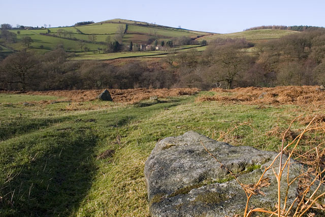 |
Green's House from the Footpath. |
 |
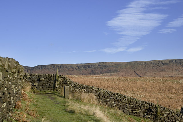
Climbing up to Stanage Edge at the southern most end. The route ahead very clear across the top of the edge. |
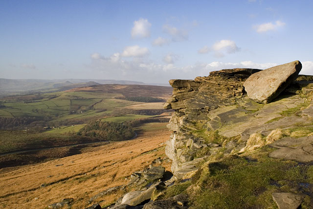 |
From the edge looking over to Bamford Moor, Win Hill and Loose Hill. |
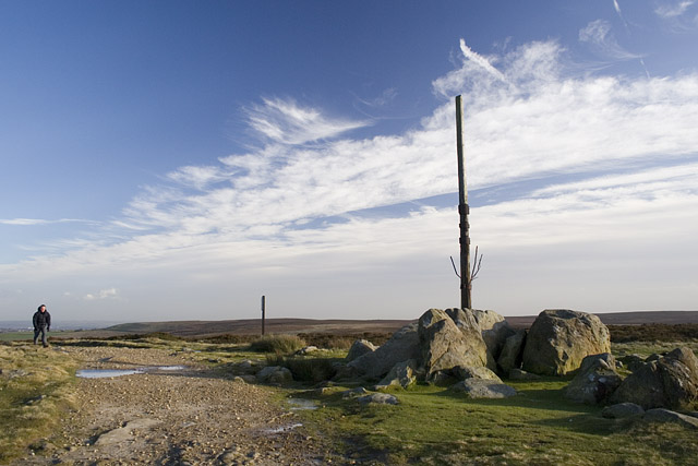 |
Stanedge Pole. My lunch stop, sheltering from very strong winds behind some rocks to the left of this photograph. |
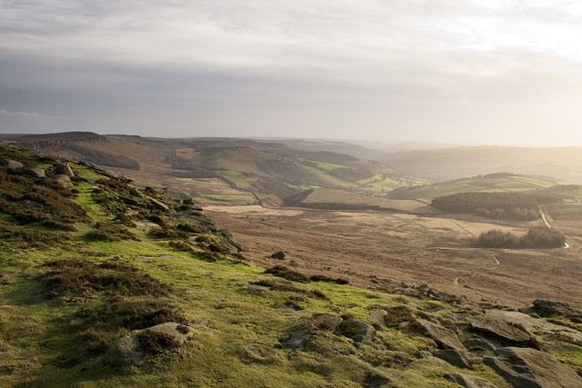 |
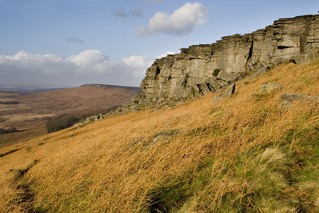
Looking back along Stanage Edge with my starting point in the second clump of trees on the right 'Dennis Knoll'. |
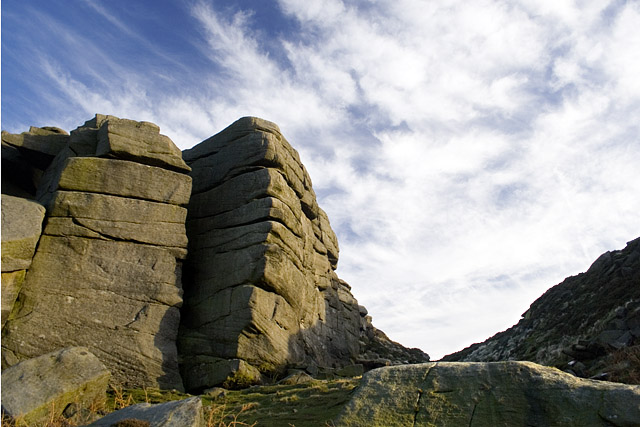 |
Dropping off the edge near Crow Chin. |
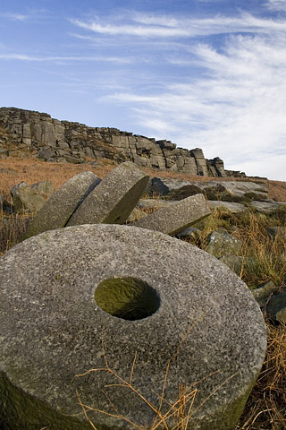 |
One of many abandoned millstones near the footpath. |
Thanks for visiting. |