
|
PEAK DISTRICT - TISSINGTON 4th SEPTEMBER 2010
|
Location - |
Peak District - Tissington & Parwich |
Map - |
The Peak District White Peak area - OL24 |
Route - |
Tissington Village, Darfield Lane, Woodeaves Farm, Lea Hall, Parwich, Crakelow Farm, Tissington |
Distance - |
6.25 Miles |
Weather - |
Bright with some sun. |
| Memory Map overlay - | Yes click here |
Route Map - |
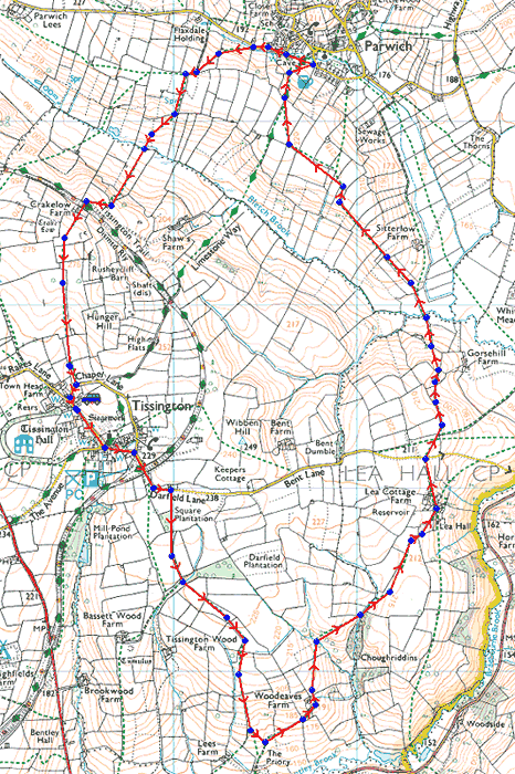 |
Image produced from the Ordnance Survey Get-a-map service. Image reproduced with kind permission of Ordnance Survey and Ordnance Survey of Northern Ireland. |
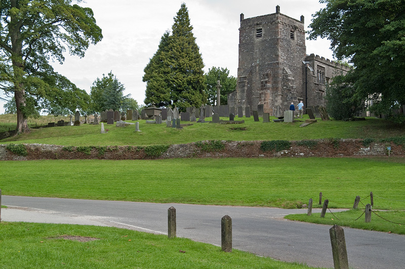 |
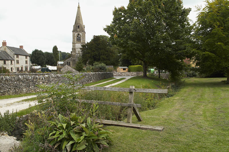
Tissington Church. |
 |
Dairy Cattle ready for milking. |
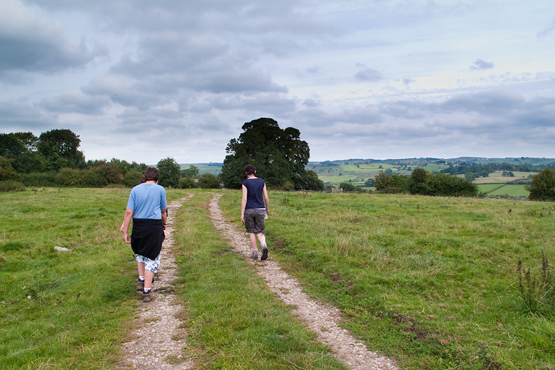 |
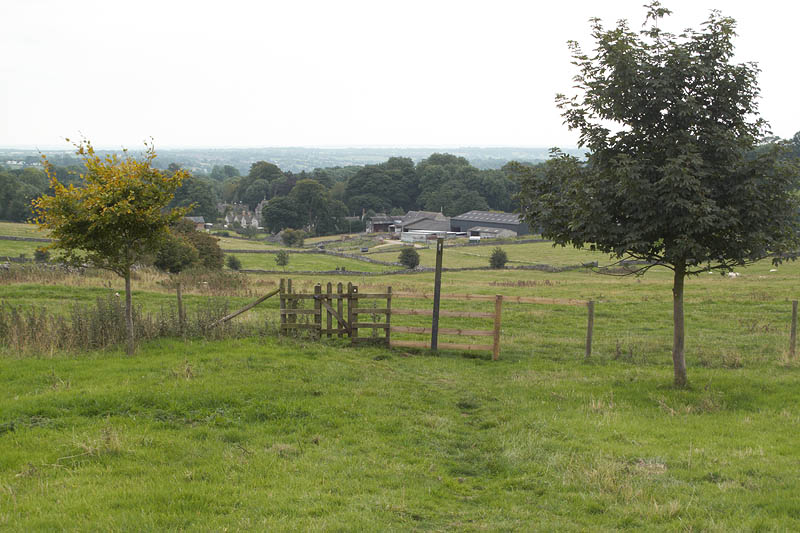
Farm track near Tissington Wood Farm. |
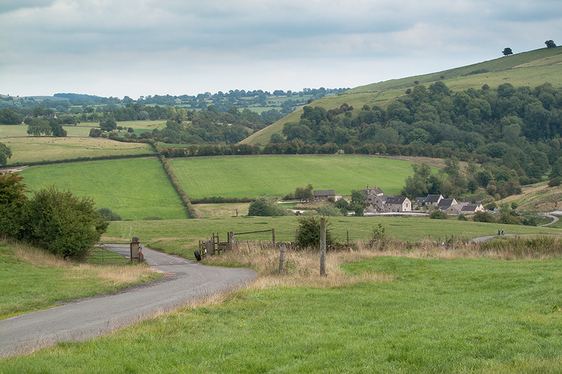 |
Crossing Bent Lane with Bradbourne Mill in the valley. |
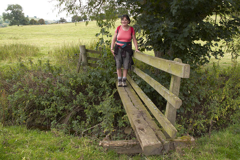 |
Footbridge over a stream. |
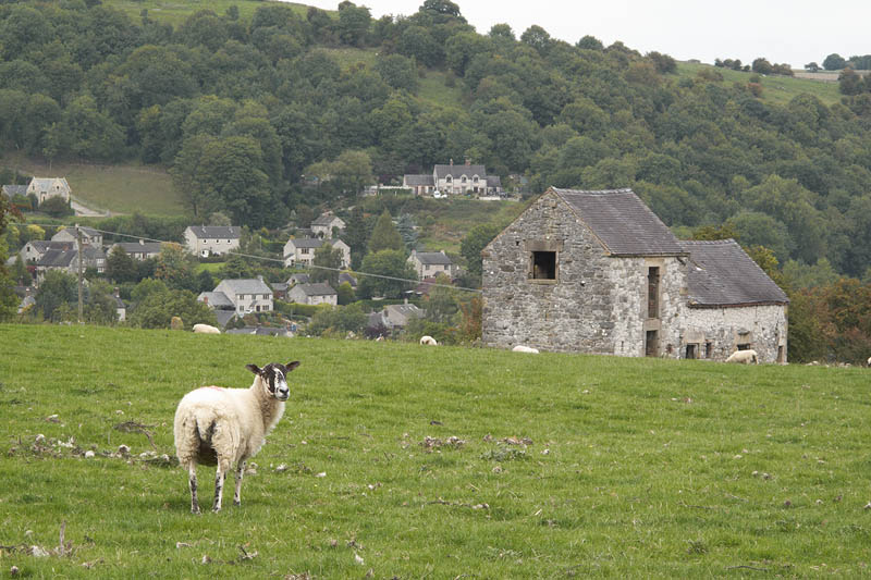 |
We are being watched as we descend into Parwich. |
 |
And a little closer to Parwich. |
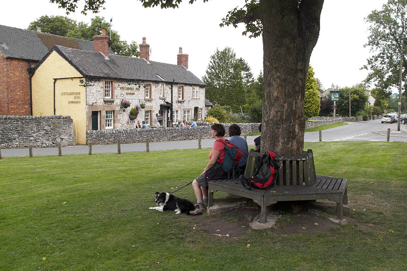 |
The Parwich village green and the Sycamore Inn. |
 |
Leaving Parwich and heading back to Tissington. |
 |
Typical rolling Dales scenery. |
 |
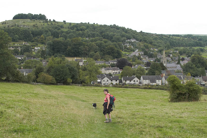
Descending Hunger Hill to Tissington. |
Thanks for visiting. |