
|
PEAK DISTRICT - WIN HILL 4th FEBRUARY 2007
|
Location - |
Peak District - Win Hill |
Map - |
The Peak District Dark Peak Area - OL1 |
Route - |
Roadside Parking (17068, 84024), Twitchill Farm, Win Hill, Win Hill Pike, Hope Brink, Fullwood Stile Farm, Finish |
Distance - |
4.75 Miles |
Weather - |
Sunny and not too cold in the sun |
| Memory Map overlay - | Yes click here |
Route Map - |
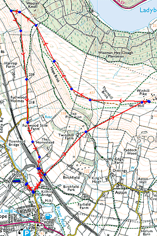 |
Image produced from the Ordnance Survey Get-a-map service. Image reproduced with kind permission of Ordnance Survey and Ordnance Survey of Northern Ireland. |
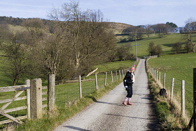 |
Heading up the farm track to Twitchill Farm. Our route taking us over the |
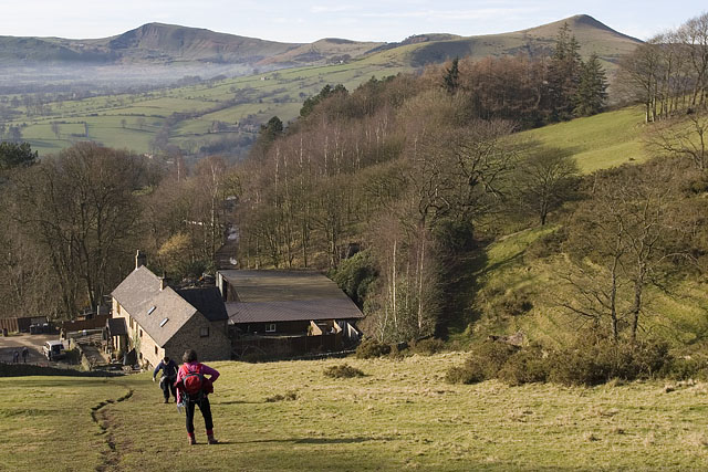 |
Passing Twitchill farm, overlooking the great ridge, from left to right Mam Tor, Barker Bank, Back Tor and the prominent Loose Hill. |
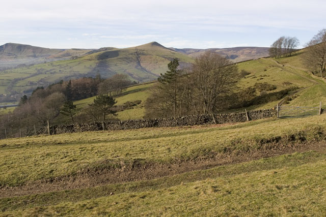 |
Another footpath joins from the right here passing under Top Plantation. |
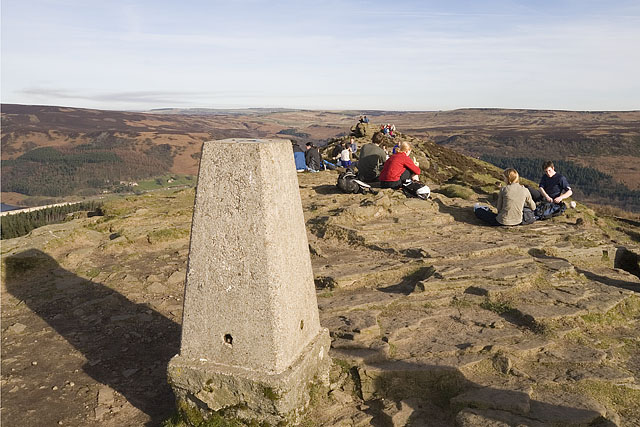 |
Plenty of walkers taking a lunch on top of Win Hill (462m) with just a glimpse of Ladybower Reservoir on the left. The sun providing a little warmth making this a place to linger today. |
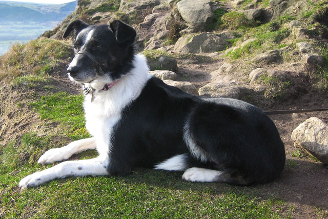 |
Tess paying a great deal of attention to the sheep on the hillside below us. |
 |
Continuing along Hope Brink looking again across the Great Ridge with Kinder Scout beyond. |
 |
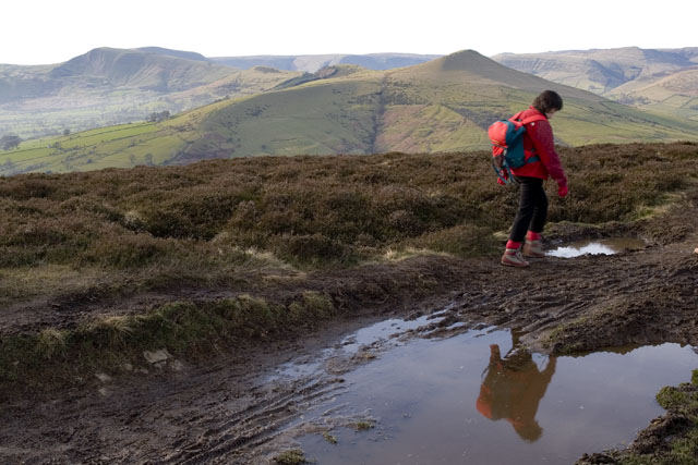
Returning to the valley with Loose Hill above. |
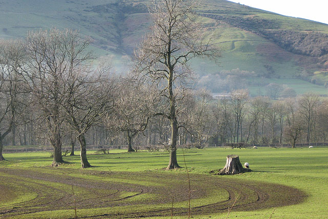 |
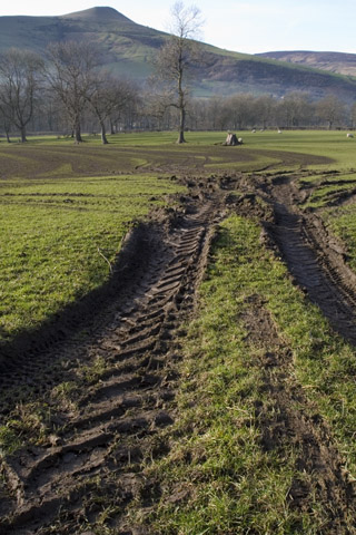
Slurry patterns on the fields. |
Thanks for visiting. |