
|
PEAK DISTRICT - WIN HILL 23rd MARCH 2006
|
Location - |
Peak District - Ladybower Reservoir & Win Hill Pike |
Map - |
The Peak District Dark Peak Area - OL1 |
Route - |
Ladybower Reservoir, Parkin Clough, Winhill Plantation, Winhill Pike (462m), Hope Brink, Top Plantation, Aston, Ladybower Dam. |
Distance - |
6.5 Miles |
Weather - |
Sunny with a cold wind |
| Memory Map overlay - | Yes click here |
Route Map - |
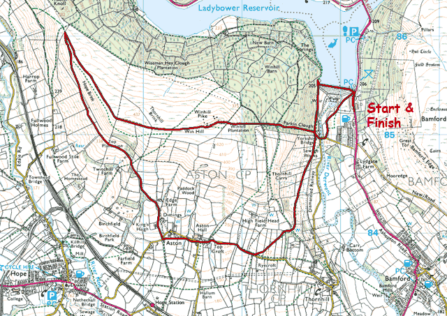 |
Image produced from the Ordnance Survey Get-a-map service. Image reproduced with kind permission of Ordnance Survey and Ordnance Survey of Northern Ireland. |
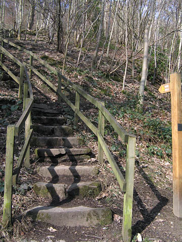 |
fter dropping into the valley from the starting point on the A6013 near the Ladybower Dam the route uphill was quite steep following Parkin Clough. Steps initially but soon changing to a rockier climb. |
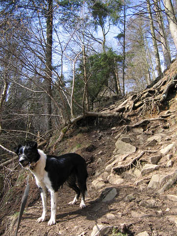 |
Tess being very patient in waiting for me. |
 |
Clearing the tree line and looking back to Bamford Edge and Bamford Moor beyond. |
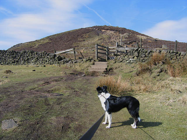 |
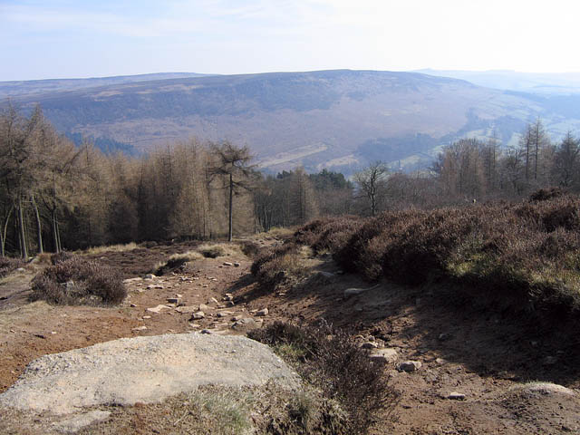
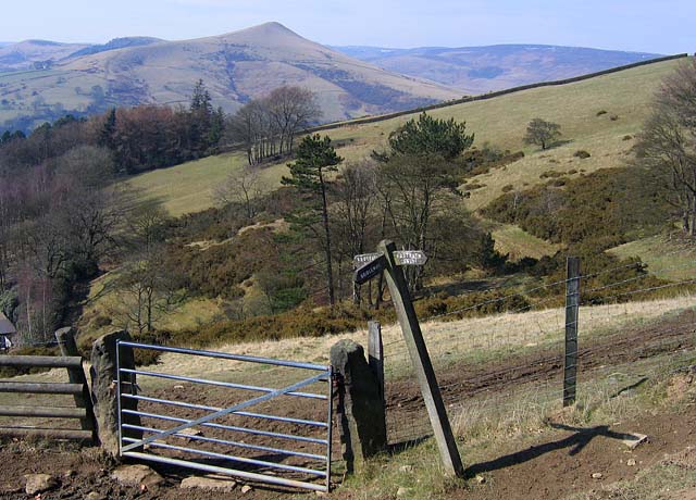
Open land leading the way to Win Hill Pike ahead. |
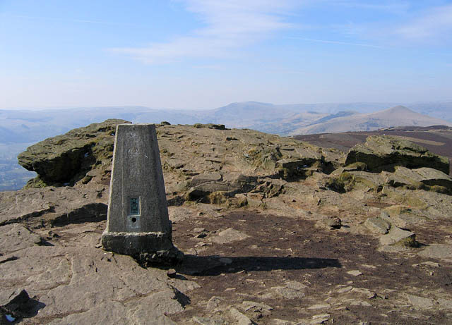 |
The summit of Win Hill Pike looking West to Lose Hill and on to Mam Tor. |
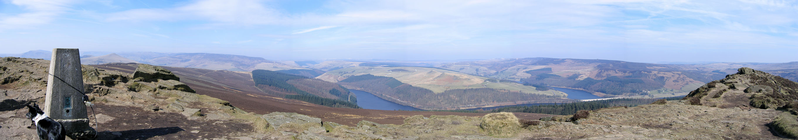 |
A panorama looking North from Win Hill Pike (click on the image for a larger version). |
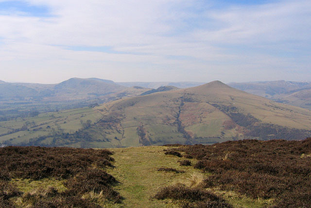 |
A closer view of Lose Hill, Back Tor, Hollins Cross and on to Mam Tor. |
 |
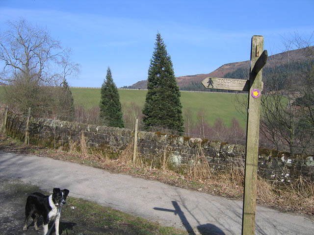
Looking back along the footpath of my descent to the right. This footpath eventually following a farm track which was very muddy and very slippery. |
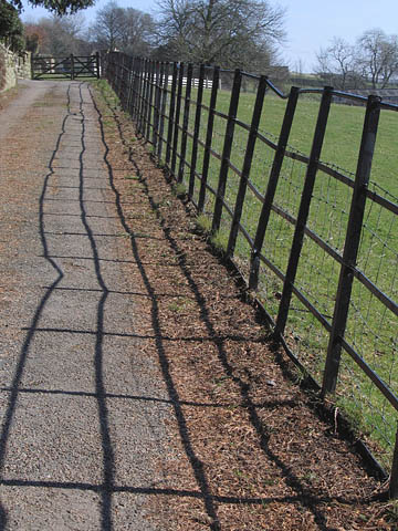 |
Skirting along another footpath in the village of Aston, I couldn't help but notice this repeating pattern of shadows. |
 |
Returning to Ladybower Dam, instead of dropping into the valley as I had on the first part of my walk I crossed the top of the Dam. |
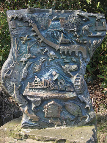 |
A very detailed piece of sculpture with the local villages detailed. |
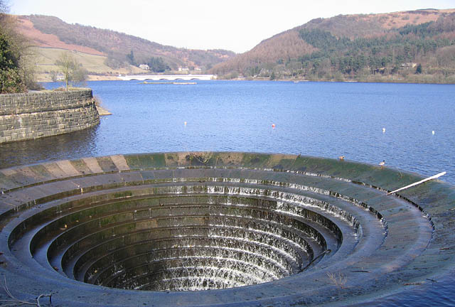 |
The plughole in Ladybower Reservoir, one of two. The water levels here looked ok. |
Thanks for visiting. |