
|
PEAK DISTRICT - YOULGREAVE & LATHKILL DALE 8th JUNE 2006
|
Location - |
Peak District - Youlgrave & Lathkill Dale |
Map - |
The Peak District White Peak Area - OL24 |
Route - |
Moor Lane Car Park (19405 64459), Limestone Way, River Bradford, Alport, River Lathkill, Conksbury Bridge, Lathkill Dale, Cales Dale, Limestone Way, Moor Lane Car Park |
Distance - |
8 Miles |
Weather - |
Sunny and warm |
Memory Map overlay - |
Yes click here |
Route Map - |
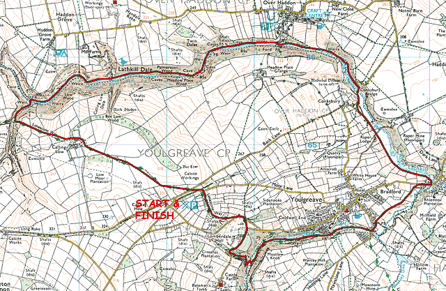 |
Image produced from the Ordnance Survey Get-a-map service. Image reproduced with kind permission of Ordnance Survey and Ordnance Survey of Northern Ireland. |
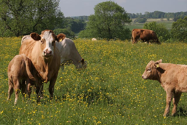 |
Near the start of the walk just off Moor Lane. |
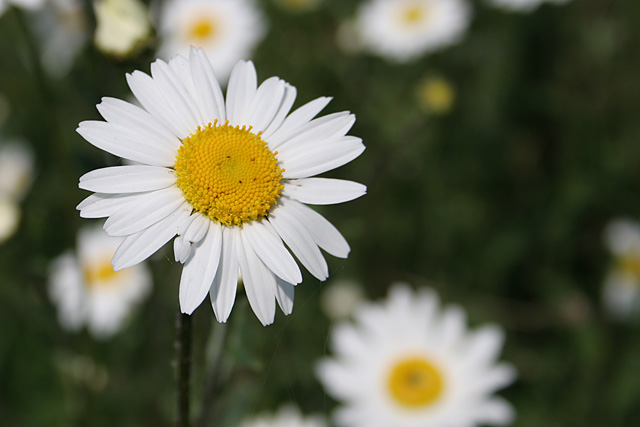 |
Looks like a good day for flowers. |
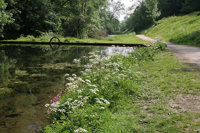 |
The Bradford Dams, well stocked with fish and very clear water. |
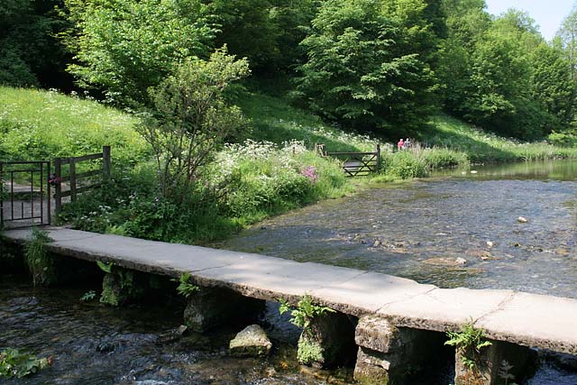 |
The clapper bridge crossing the River Bradford at Youlgreave. |
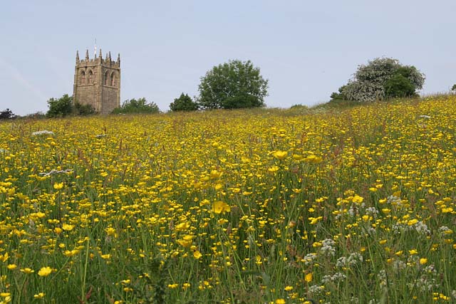 |
Hay meadow near Youlgreave. |
 |
From the path to Alport looking over the River Bradford . |
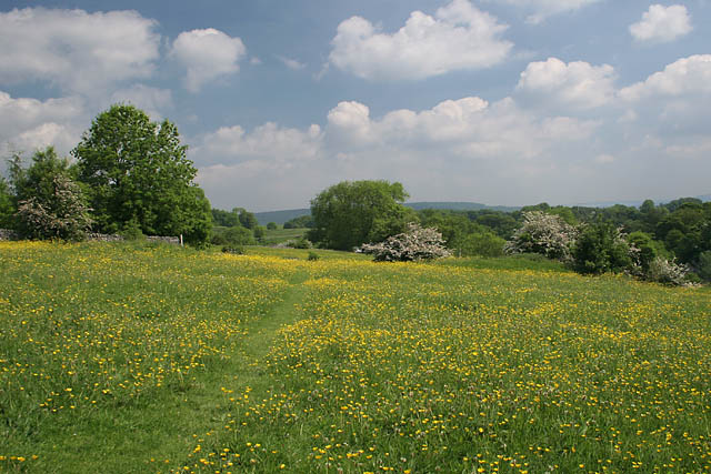 |
Another field and more meadow flowers. |
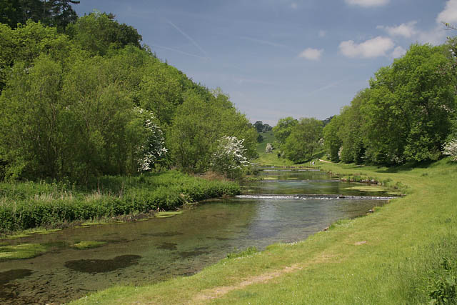 |
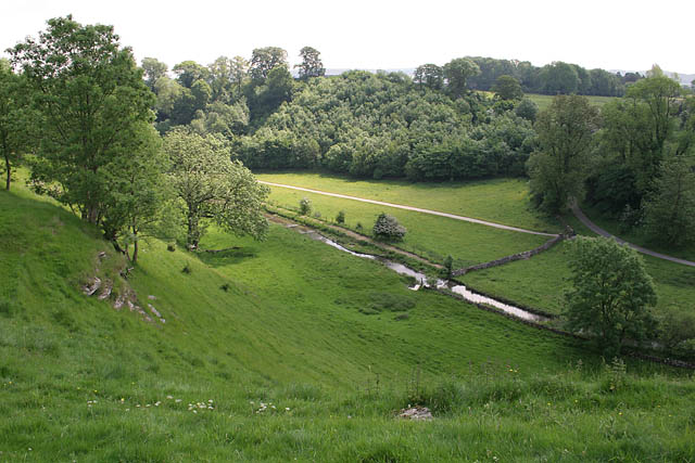
The River Lathkill looking west towards Lathkill Dale. |
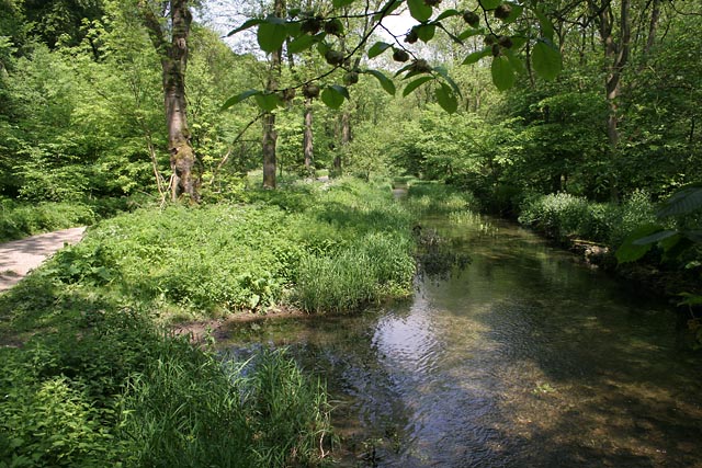 |
Further along Lathkill Dale looking a little wilder. |
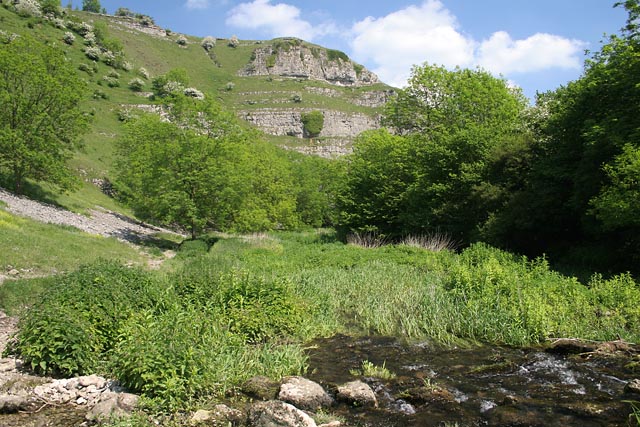 |
Limestone cliffs overlooking Lathkill Dale.. |
 |
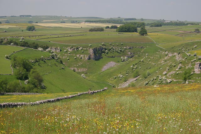
Looking back down Lathkill Dale as the path turns up Cales Dale as we again follow the Limestone Way. |
 |
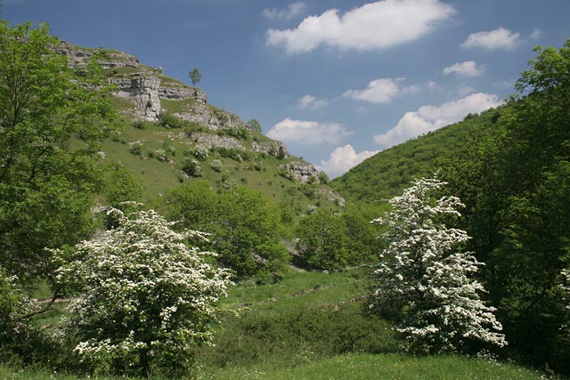
The top of Lathkill Dale from the path near Calling Low Farm. |
Thanks for visiting. |