
|
PEAK DISTRICT - HIGGER TOR 23rd JANUARY 2007
|
Location - |
Peak District - Millstone Edge & Higger Tor |
Map - |
The Peak District Dark Peak Area - OL1 |
Route - |
Car Park (25153, 80092), Millstone Edge, Higger Tor, Cowper Stone, Upper Burbage Bridge, Burbage Bridge, Owler Tor, Car Park |
Distance - |
6.25 Miles |
Weather - |
Sunny with plenty of lying snow |
| Memory Map overlay - | Yes click here |
Route Map - |
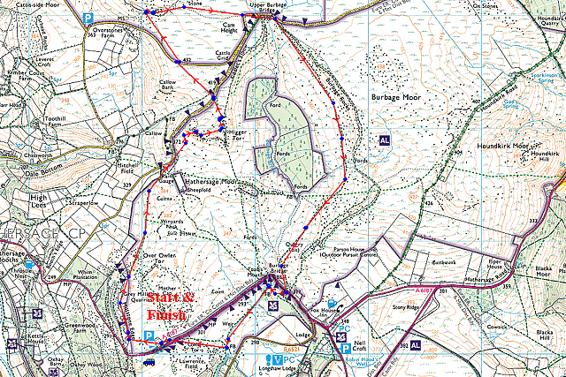 |
Image produced from the Ordnance Survey Get-a-map service. Image reproduced with kind permission of Ordnance Survey and Ordnance Survey of Northern Ireland. |
 |
At the very start of the walk leaving the car park for open land. Despite the complete lack of snow at lower levels it looks like I'll get exactly what I came here for, a winter walk in glorious sunshine. |
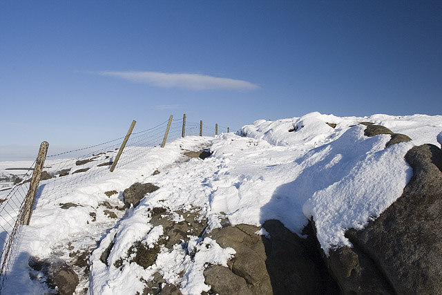 |
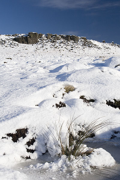
Reaching Millstone Edge it was quite difficult to pick my way through some of the drifts and avoid the gaps between the rocks. |
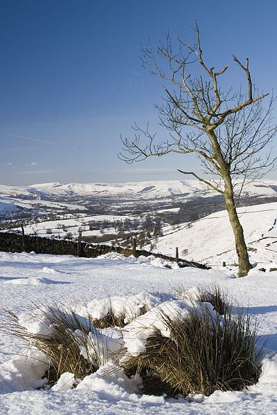 |
Overlooking the Hope Valley with Castleton and Mam Tor in the distance. |
 |
Looking ahead to my first objective Higger Tor. The path skirts around to the left and almost comes up from behind the summit |
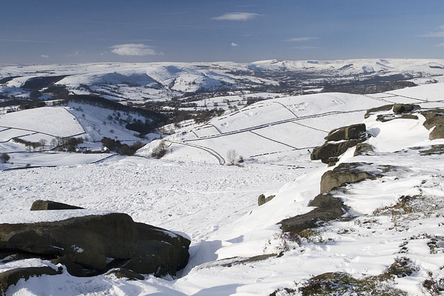 |
From the top of Higger Tor looking down the Hope Valley again. |
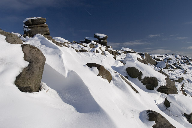 |
Looking along the summit of Higger Tor showing the accumulated snow and the fantastic sky. |
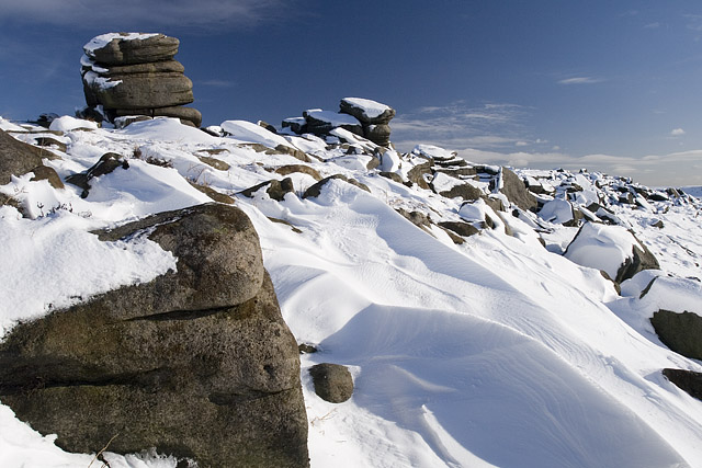 |
Similar to the photograph above but with a change in position to include the foreground rock. |
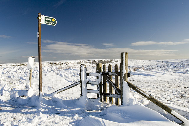 |
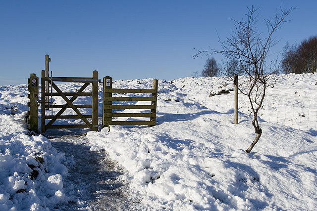
Passing through this gate from Higger Tor I headed to The Eastern edge of Stanage Edge and Cowper Stone. |
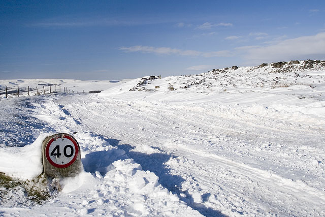 |
I don't think that you could do 40mph today. My objective is the ridge on the right. |
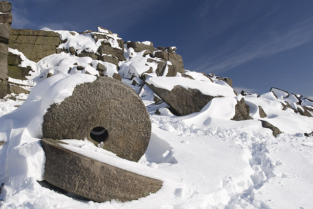 |
Just below the ridge I spotted these millstones, well worth a short detour to photograph. |
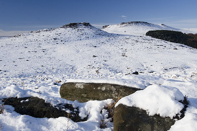 |
From the Duke of Rutland's Drive looking up to Carl Wark (left) and Higger Tor (right). |
Thanks for visiting. |